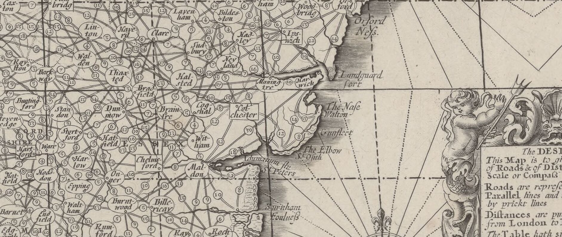
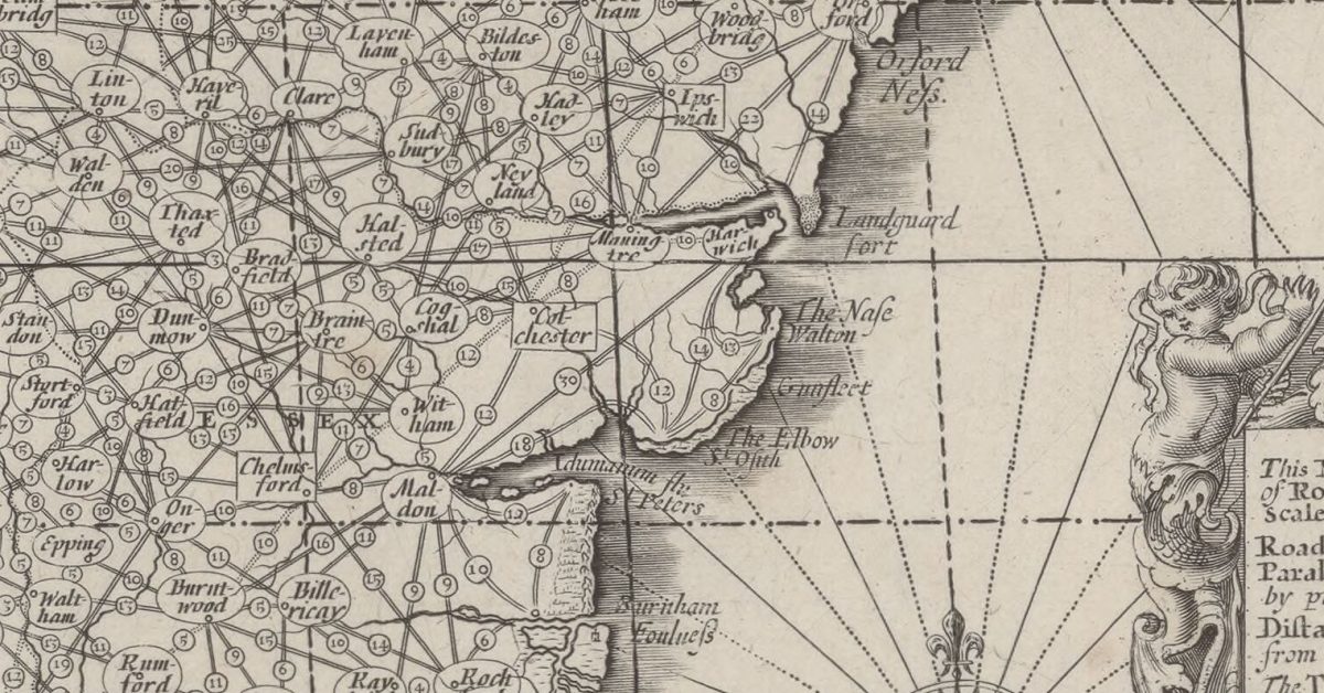
1677 English chart. Best viewed online with zoom.

Notes
Questions
Sources
Vintage Maps – excellent selection:
If you like to download the image of this map with a resolution of 1200 pixels, please follow the link below. You can use this image for publication on your personal or commercial websites for free if you set a link to this website. If you need photographs with a higher resolution, please contact us.
Some Charts – useful information.
Footnotes
Image Sources and Credits
Image Credits and Sources
- Angliae_Totius_Tabula_cum_Distantijs_…Adams_John_btv1b53057201c_1: gallica.bnf.fr / BnF
Image Credits and Sources
- Angliae_Totius_Tabula_cum_Distantijs_…Adams_John_btv1b53057201c_1: gallica.bnf.fr / BnF
