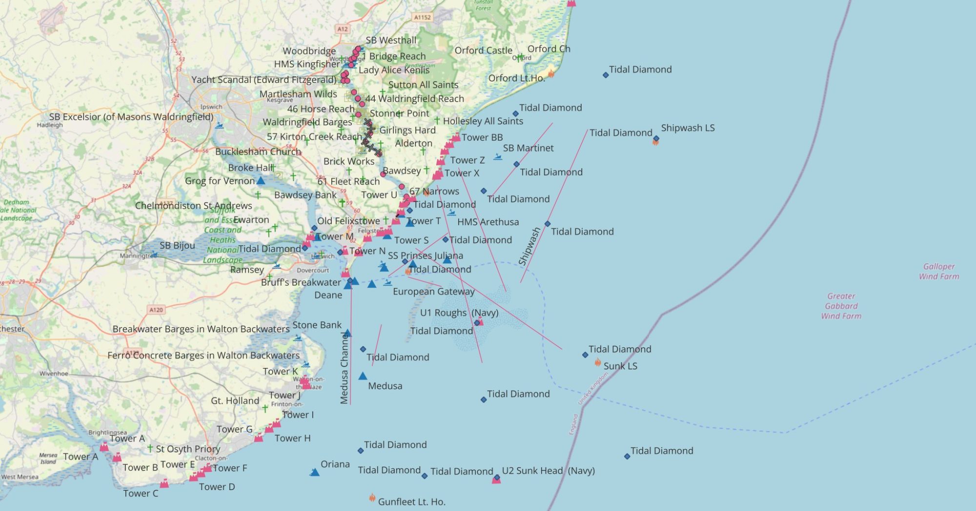
This will soon be replaced by the ECCapp map.
Click on pins to link to post. The control Icon permits the base map to be changed and layers to be (de)selected. Where pins are close together it may be necessary to zoom in to separate them. Change projection to WGS84 to get Degrees Lat/Lon.
ECCapp Map
The same chart the ECCapp uses — OpenStreetMap with OpenSeaMap seamarks. Drag and zoom the map to set your position; the crosshair is where you are.
QGIS Cloud chart (legacy)
First Published 10Sep2024, Updated 26Jul2026