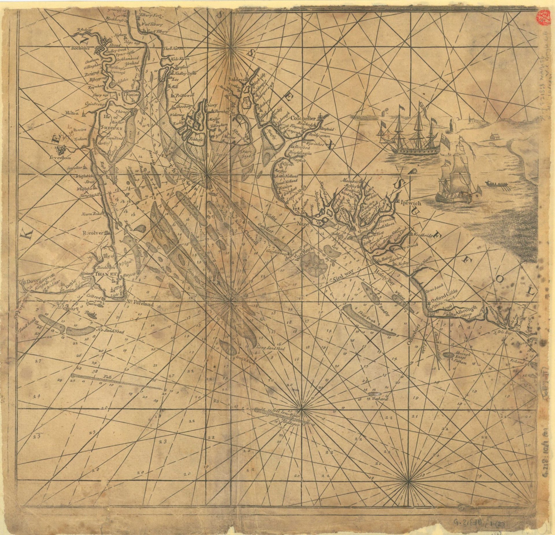
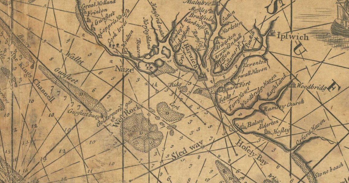
A large scale chart of Kent to Yarmouth. His other charts are more useful.
Captain Greenvile Collins, Public domain, via Wikimedia Commons

Image Credits and Sources

A large scale chart of Kent to Yarmouth. His other charts are more useful.
Captain Greenvile Collins, Public domain, via Wikimedia Commons

Image Credits and Sources