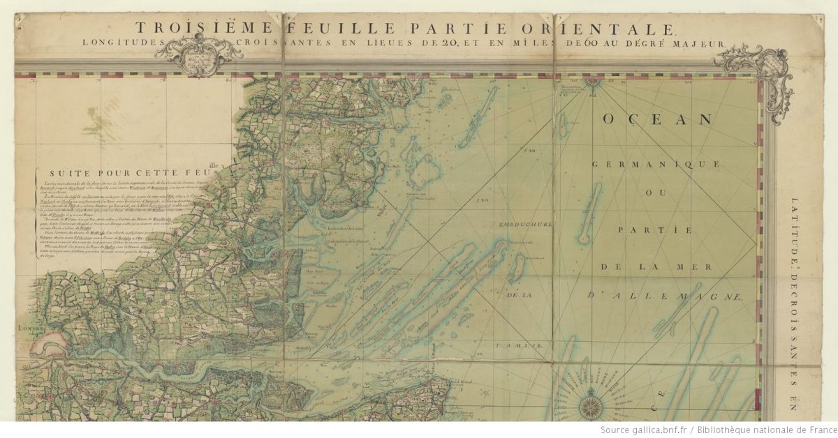
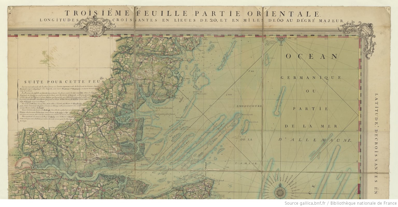
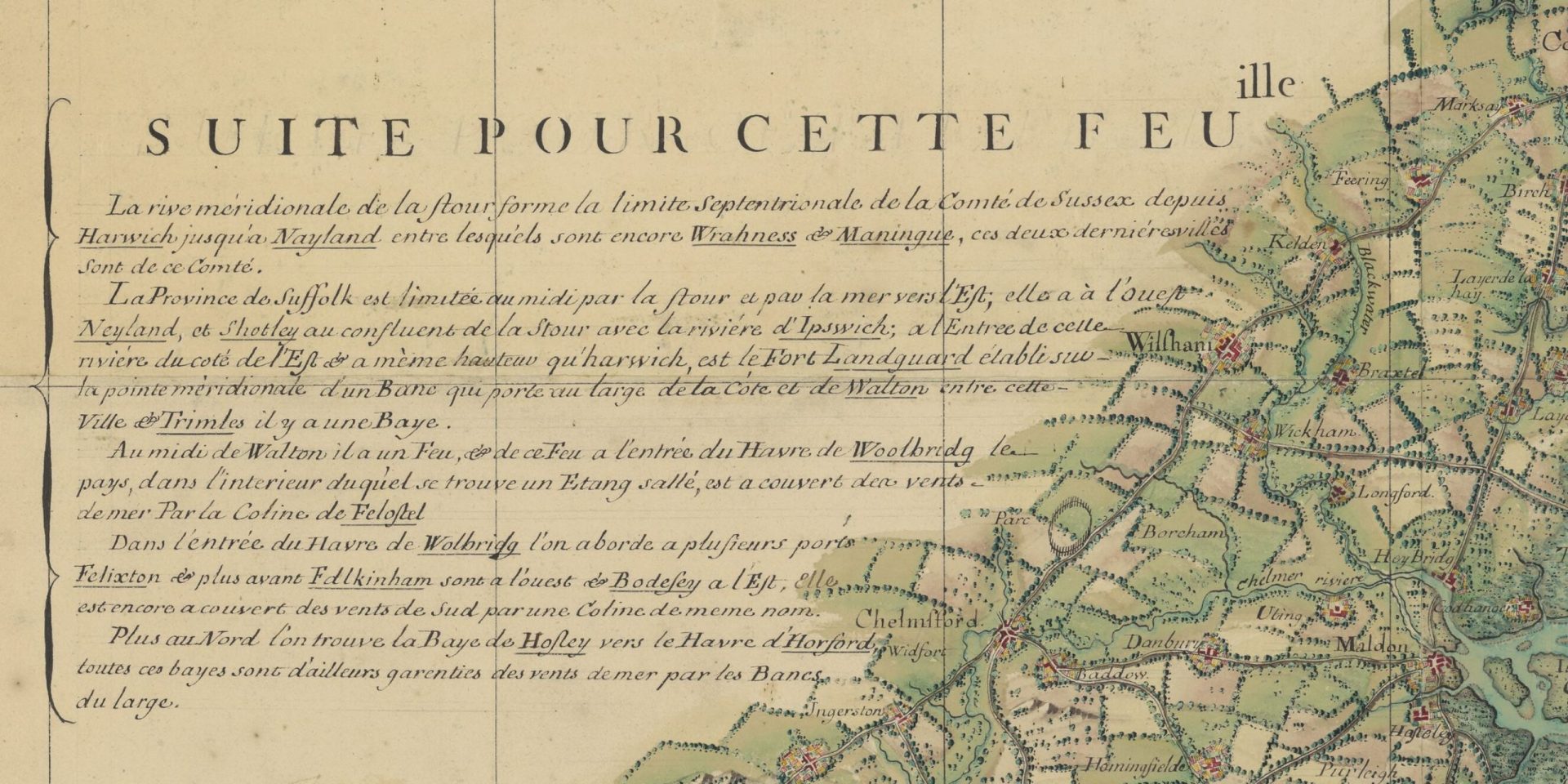
French chart with excellent zoom facility. Presumably based on English charts and maps but gives a very interesting, combined view of the land and sea. The original is 205 x 159 cm so it needs to be viewed in sections. Longitude is in Leagues from the meridian of Paris. Unfortunately, the chart stops at Bawdsey and, if there is a northern chart, it is elusive. The rest of the chart relates to the remainder of southern England.
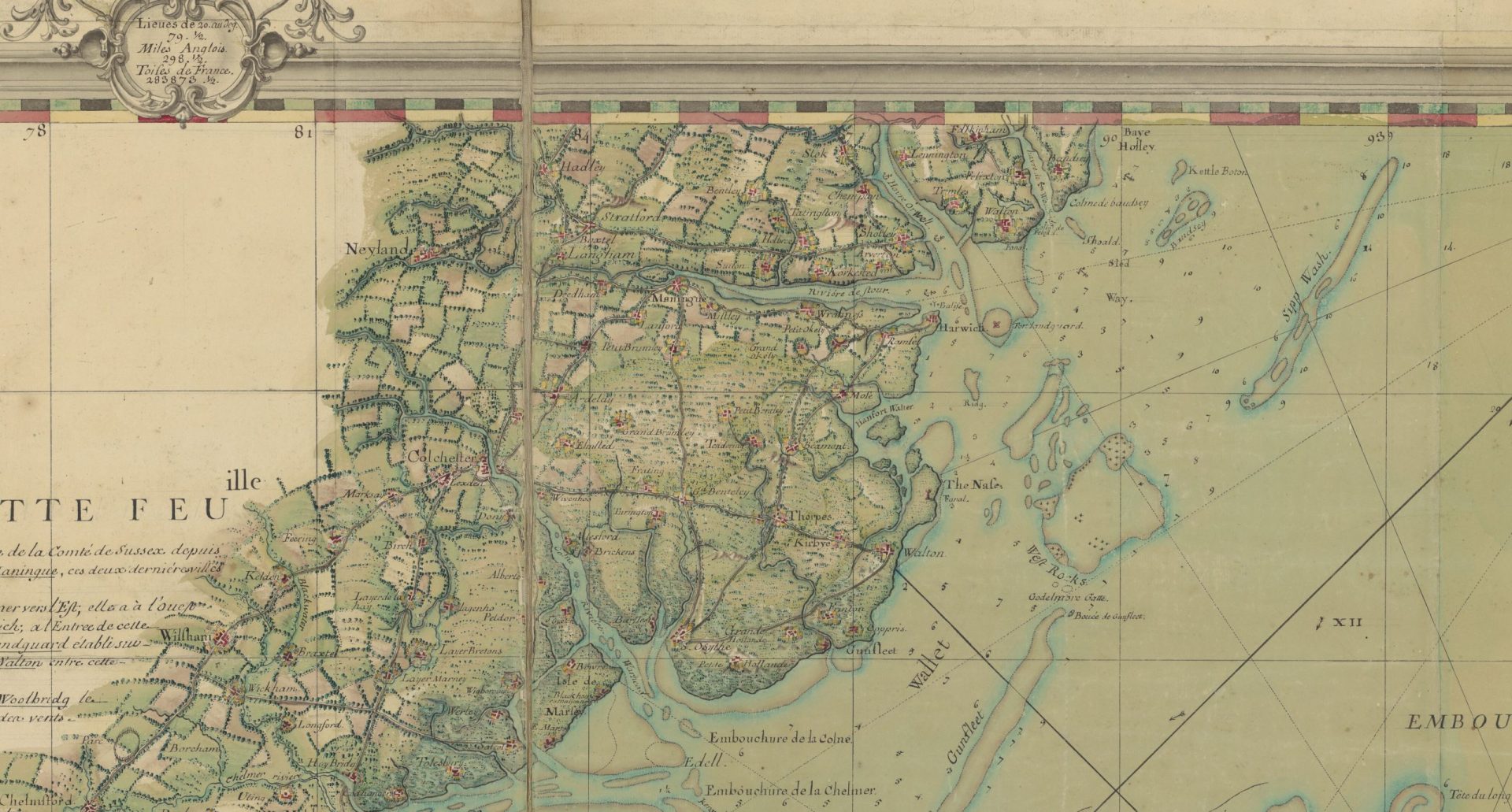
There are many interesting areas, Margate is a good place to start. Although the date is 1760 the chart probably reflects an earlier time, Naze Tower, built 1720 is not shown. There is a beacon shown at Felixstowe, but not at Bawdsey. Landguard Fort is almost on an island with the area to the north shown as shoal. This would be consistent with Defoe’s description of a very wide entrance.
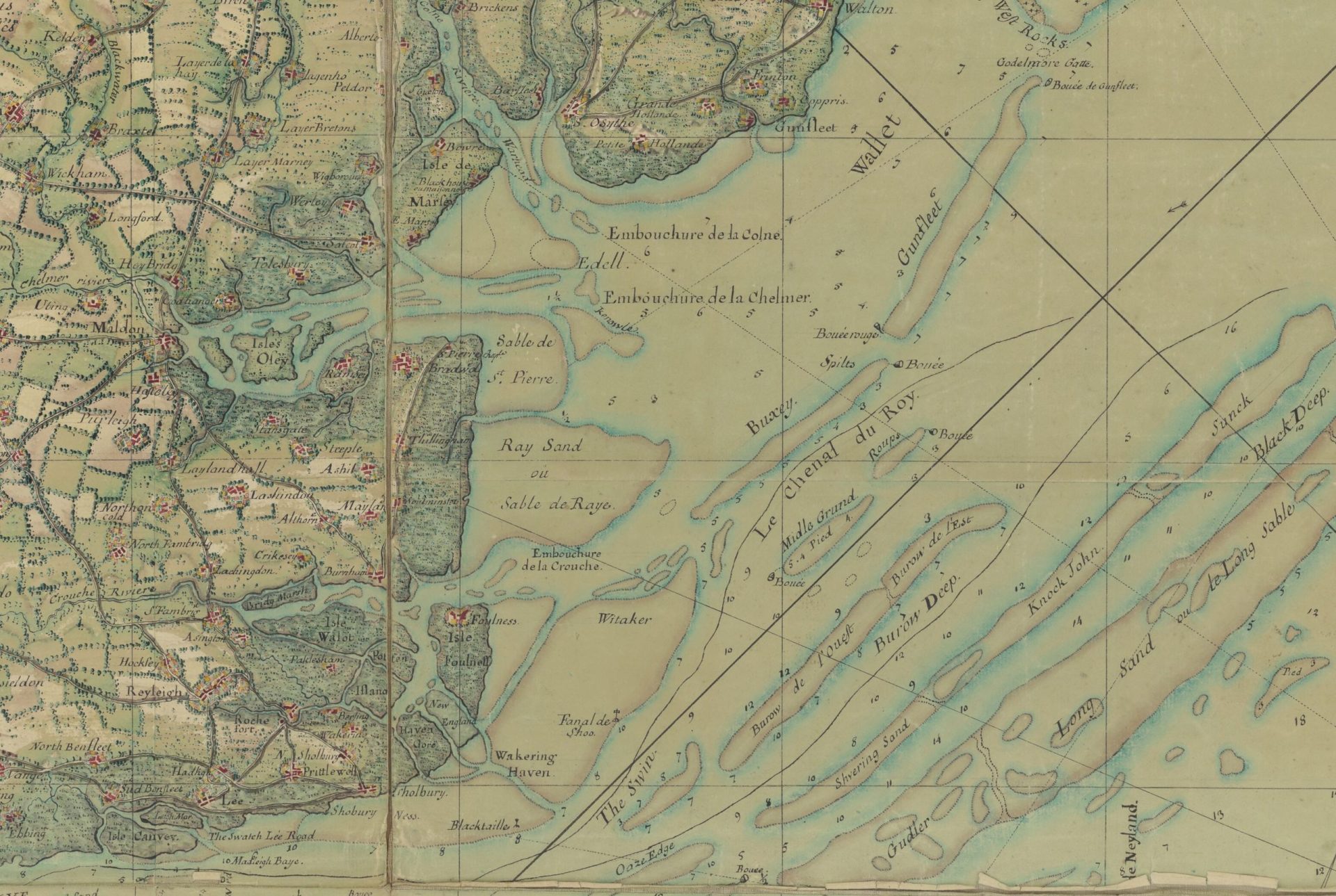
Holland on Sea is “Gunfleet” with a river entrance. Extensive marshes shown on the south Essex coast. Shows the Shoe and Blacktail beacons With shapes.
Unsure of the depth units, fathoms are most likely and more or less fit1French units of measurement – Wikipedia.
- 1French units of measurement – Wikipedia
Image Credits and Sources
- 1760-Carte_des_cotes_meridionales_dAngleterre_…Cocquart_Gabriel_btv1b530106269_12: Bibliothèque nationale de France, département Cartes et plans, | Public Domain Mark 1.0
