At sea, our waters are shallow with many named shoals and sandbanks. Some dry out such as Cork Sand, others lurk just below the waves. Inland, our rivers have many creeks and their banks have features worthy of mention. These come and go over time and the names change. How they change and the origin of the names can be of interest. As the same term often applies to both the bank and the channel, for example, the Ray Sand, some items are allocated to both categories.
There are many terms used for sea features, here is a selection:
Spit, Flats, Rocks, Horse, Flat, Falls, Ground, Napes, Ledge, Shelf, Bar, Patch, Heaps, Stone, Hole, Ridge, Shoal, Bank, Sand, Knock, Onion, Knob, Knoll, Knowl.
From Marine Estate Research Report Historical changes in the seabed of the greater Thames estuary.
Use the map below to explore:
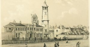
1841 A Walk on Gunfleet Sands
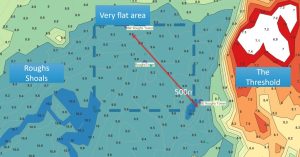
6:NW & SE Roughs Tower site and Rough Shoals
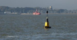
Bloody Point at Shotley Spit

Cutler and Redbeard Sands
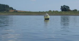
Galleons & Girling’s Hard
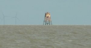
Gunfleet Sand
Hams and Tips
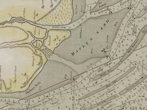
Maplin Sand
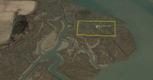
Mud Digging at Hemley for the Cement Works
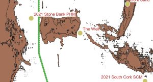
Stone Bank
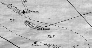
Waldringfield Horse and the Winkle
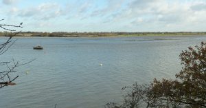
Waldringfield Island, Stonnor Creek and Burrell’s Long Wall
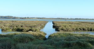
Waldringfield’s Mystery Cuttings
Notes
More sandbanks in the Estuary:
Albion Knowl, Aldeburgh Napes, Aldeburgh Ridge, Altar, Andrews Spit, Bachelor Spit, Barrow (East), Barrow (West), Barrow Sand, Barrows, Bawdsey Bank, Burrows Knowl, Buxey Sand, Cant, Cant Edge Shoals, Cliff End Banks, Cliff Foot Rock, Clite Hole Bank, Collier, Columbine Spit, Copperas Ground, Cork Knoll, Cork Ledge, Cork Sand, Cork Spit, Cutler, Eagle, East Cant, East Last, East Middle Sand, East Spaniard, Felixstowe Ledge, Flagstone, Galloper, Gilman, Girdler, Glutton, Gristle, Gunfleet, Gunfleet East Knock, Gunfleet Head, Gunfleet West Knock, Heaps, Inner Gabbard, Kentish Knock, Kentish Knock (NW), Kentish Knock (SE), Kettle Bottom, Knob Shoal (or Spit), Knock John, Last, Long Sand, Long Sand Head (Spit), Long Sand Head Bell, Maplin Spit, Margate Hook, Margate Sand, Middle, Little Middle, Middle (Red), Middle Bank, Middle Ground, Middle Sand, Mouse, Nathaniel Knoll, Naze Ledge, NE Middle, Nore Sand, North/New Knob, North Falls, North Mouse, Oaze, Onion Spit, Outer Gabbard, Pan Patch, Pan Sand, Pan Speck, Pitching Ground, Platters, Priory Spit, Pudding Pan, Pye Sand, Red Beard, Red Sand, Ridge, Ridge (Harwich Harbour), Rolling Ground, Rough (Lower), Rough (Upper), Rough Shoals, Runch, Saverold, Sheerness Middle, Shingles, Shingles Patch, Shipwash, Shivering Sand, South East Spit, South Knowl, Spaniard, Spile (Spoil), Stone Banks, Studhill, Sunk, Sunk (Great), Sunk (Little), Sunk (Middle), Sunk (South West), Sunk Head, Sunk Sand, Sunken Buxey, Threshold, Thwart Middle, Tizard Bank (E Knock John), Tongue, Tripod, Unnamed Bank, Wadgate Ledge, Wedge, West Last, West Rocks, Whiting Bank, Woolpack.1Historical changes in the seabed of the greater Thames estuary Authors: H Burningham, JR French – Bold if location uncertain.
Also: Landguard, Pollard, Kingsholme etc.
From Marine Estate Research Report Historical changes in the seabed of the greater Thames estuary.
Spit – A small projecting point of land; a narrow reef or sandbank extending form the shore. (In use since at least late 15th century. From Old English, related to similar Middle Low German, Middle Dutch, and Old High German words. )- Shorter Oxford English Dictionary
Questions
Sources
Marine Estate Research Report Historical changes in the seabed of the greater Thames estuary. give a list of historical charts as well as listing the names of many banks.
Muir-Evans, Harold. ‘The Mariner’s Mirror, 16:4, 411-423, DOI: Notes on SANDS ETC. BETWEEN HARWICH AND THE NORE’, 1930.
Muir Evans, Harold. A Short History of the Thames Estuary. Imray, Laurie, Norie, Wilson, n.d.
W.G.Arnott, W G. Suffolk Estuary : The Story of the River Deben. N. Adlard, , 2D Impression, 1950.
The Place-Names of the Deben Valley Parishes. Norman Adlard, 1946.
Redman, J B. ‘The East Coast between the Thames and the Wash Estuaries (Including Plate).’ Minutes of the Proceedings of the Institution of Civil Engineers 23, no. 1864 (January 1864): 186–224. https://doi.org/10.1680/imotp.1864.23283.
Footnotes
- 1Historical changes in the seabed of the greater Thames estuary Authors: H Burningham, JR French
Image Sources and Credits
- 1Historical changes in the seabed of the greater Thames estuary Authors: H Burningham, JR French
