Ferro Concrete Barges (FCBs) Introduction
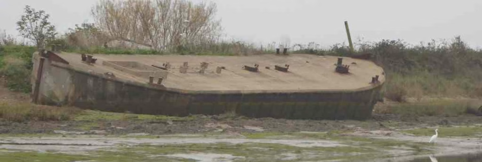
The first vessels of this type investigated turned out to be metal lighters: I’d been passing them for years assuming them to be concrete. It was through contacting Richard Lewis, who writes on the subject and has www.thecretefleet.com website, that the subject became clearer. Working from Northern Ireland he has identified perhaps all of the …
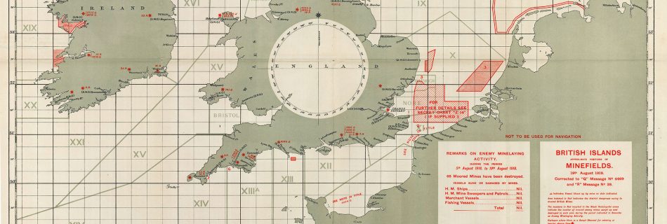
1918 WW1 Mine Fields
World War I: Understanding the War at Sea Through Maps | Worlds Revealed (loc.gov)
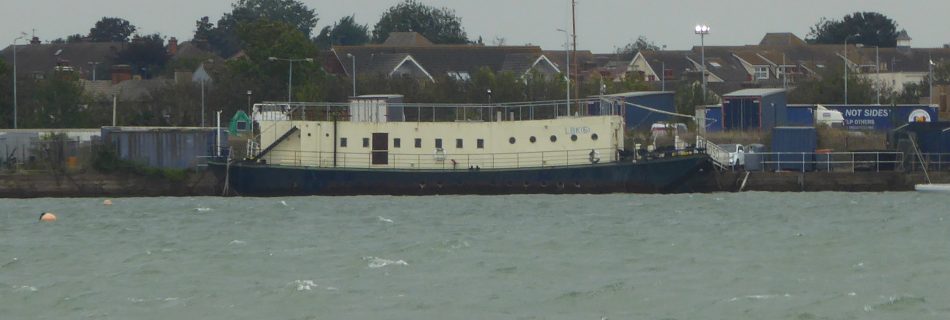
LBK6 – Landing Barge Kitchen at Harwich
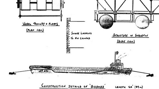
The fighting men who landed on D-Day needed to be fed so ten Landing Barge Kitchen (LBK) were built for the task. These were adapted from steel Thames Lighters by fitting two petrol engines and building the kitchen on the lighter. Crossing from Langstone Harbour to Sword Beach on D-Day, with the 35th LB Flotilla, …
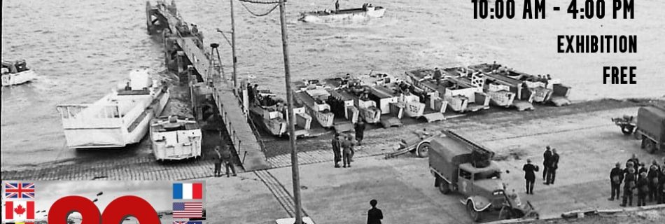
Woolverstone, D-Day at 80 Exhibition
On 6 June 1944, Allied troops landed on the Normandy beaches and the battle to liberate Europe began. 80 years on since D-Day, the largest amphibious invasion in the history of warfare, we remember those who made the ultimate sacrifice in defence of our freedom. The small village of Woolverstone had a vital part to play in these tumultuous times.
World War Two Air Sea Rescue Buoys or Floats
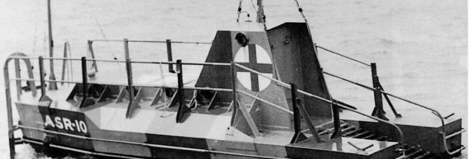
Both Britain and Germany deployed Refuge Floats for airmen in the North Sea and Channel. How many lives were saved is unclear. Examples still exist – see the notes. RAF Rescue Float More information: RAF Boats 1918 – 1986 and a 3D view at Scottish Maritime Museum German Air Sea Rescue Buoy – Lobster Pot …
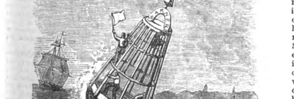
Captain Peacock’s Refuge Buoy
Refuge Buoys were used in the late nineteenth century to assist shipwrecked mariners.
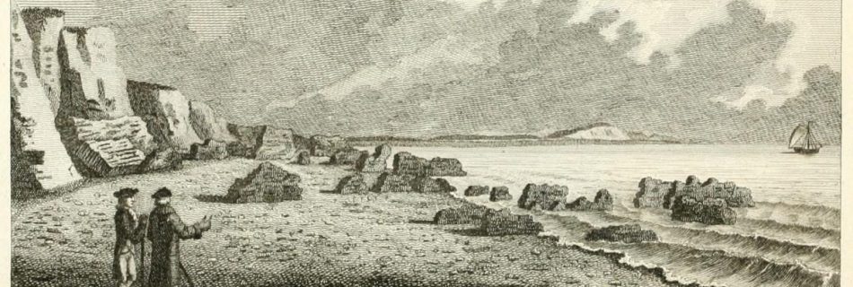
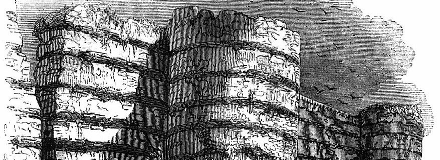
The Ruins of Walton Castle
Walton Castle
The Roman Fort
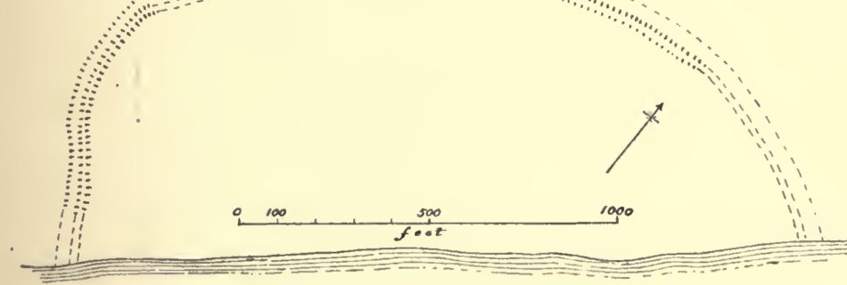
In the Fourth Century, a Roman fort dominated the Woodbridge and Orwell Havens. It was part of a defensive chain from the Wash to the South Coast mirrored on the coast of Europe. Probably built to deter Scandinavian raiders it was commanded by the ‘Count of the Saxon Shore’, whose base was at the Isle of Wight.
SS Richard Montgomery
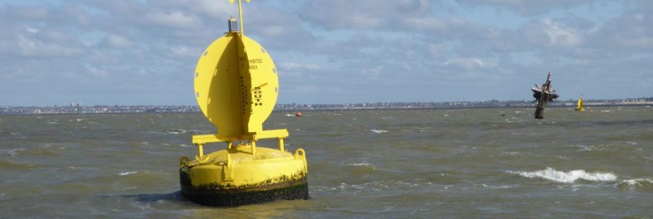
SS Richard Montgomery on youtube. Beware the shallow water to the east at LW. There is a plan to remove the masts. See SS Richard Montgomery – Wikipedia – a United States ship named after an Irish soldier in the Revolutionary War and sunk whilst departing for the Normandy invasion beaches with ammuntion.
H.M.S Arethusa
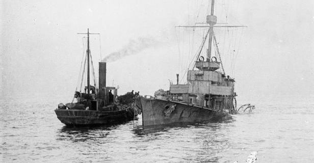
Arethusa was a Royal Navy Light Cruiser stationed at Harwich under Admiral Tyrwhitt during the Great War. She served as his flagship at the Battle of Heligoland Bight (1914). On the 11th of February 1916, she struck a German mine: whilst being towed back to the port, Arethusa sank near the Cutler sandbank off Woodbridge …
1943/4 War Department Charts
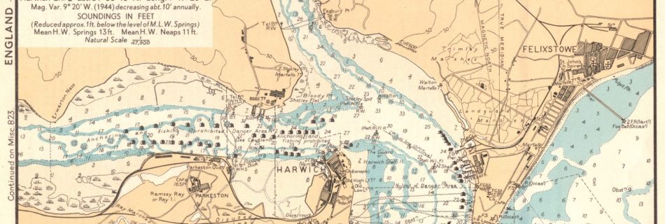
These were originally in a ring bound set and are not much larger than A5 size. If there is one of the Deben it is elusive. These are from personal collection.
1941 German Maps and Photos of Eastern England
1941 Sudost-England. England Blatt Nr. 12. Militargeographische Objektkarten 1941 Ost-Anglia. England Blatt Nr. 9. Militargeographische Objektkarten 1940 Oberkommando reconnaissance photos from David Rumsey Collection extensive. Samples:
Maplin Sand
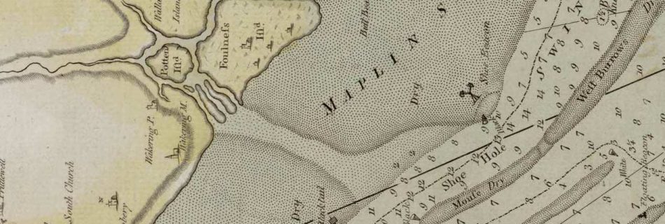
Maplin Sands stretch from Shoebury to Foulness on modern charts. The late eighteenth-century John Chandler Chart, refers to the large flat north of Havengore Creek, including the Whittaker Sands. The lower part, of what is now the Maplin Sands, was called Shoebury and Blacktail. Note ‘Shoe Hole’ in the West Swin. The simplification on modern …
HMS Kingfisher
The 46 gun fourth rate H.M.S. Kingfisher was built by Phineas Pett III at Woodbridge in 1675. The Petts were rival shipbuilders to Anthony Deane, who had built ships at Harwich in the 1660s, but was by then at Portsmouth. The history …
Shoeburyness
There are references in early pilots and charts to Sobiri, Shoe Beacon, Shoe Hole and Shoe Horse. These can cause confusion but are further north. See Essex Beacons. Could there have been another fort where the Shoe Beacon was? One explanation of the name is that the name Shoebury comes from ‘sceo’ meaning shoe and …
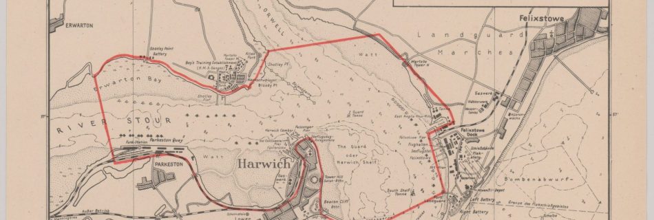
1940 Harwich Haven, German WW2 chart
Note the boom at Shotley and netting from the breakwater. Also, the bombing range is buoyed.
1939 – 1945 World War Two Maps and Charts
From US National Archives: Target Dossiers Pertaining to the British Isles, 1938–1945 Suffolk set, Felixstowe more, Harwich also with Felixstowe, Ipswich, Orfordness. Essex set. Harwich. See also Kreigsmarine Chart and 1944 WD charts. Soviet Charts – seem to have disappeared.
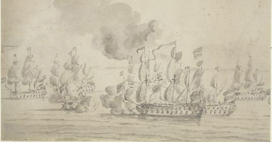
Fort – 1667 The Dutch Invasion of Felixstowe
D-Day Deception Fleet – Orwell
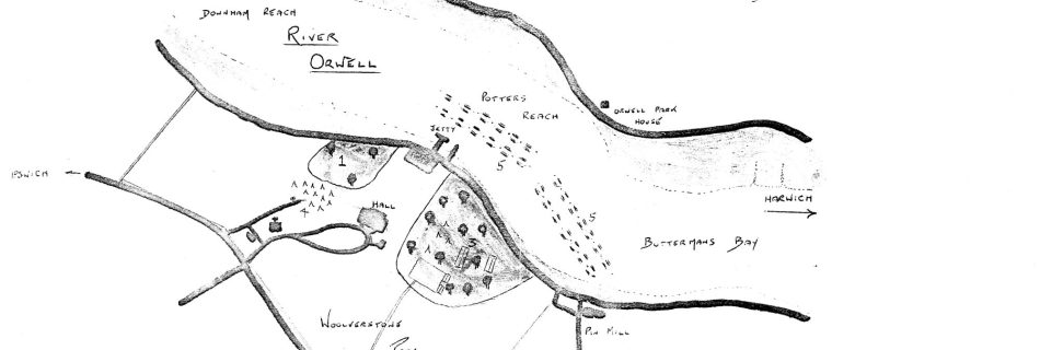
There is a full account of this topic at Woolverstone, D-Day at 80 Exhibition. This RAF photograph, 26th March 1944 – 3054 – shows what must be real landing craft near Woolverstone on the River Orwell. There are thirty-five of what appear to be MkV landing craft tank (LCT) and, perhaps, six of the considerably …
D-Day Deception Fleet – Deben
Dummy Landing Craft were built at Waldringfield and moored on the Deben before D-Day to deceive the Nazis. These were probably the largest craft ever to be in the river.
+Sources – Maritime and 17th Century Reference
Needs sorting out Navy Age of Nelson. including Ships of the Old Navy Three Decks – ships and men The Victorian Royal Navy Good on ships and crews National Archives HNSA Manuals & Documents THE ROYAL NAVY 1776-1815 A BIOGRAPHICAL HISTORY AND CHRONICLE Naval Chronicle by the year 1801– 1804 1875 Bedford’s Pocket Book Pritchett, …
Roughs Collection
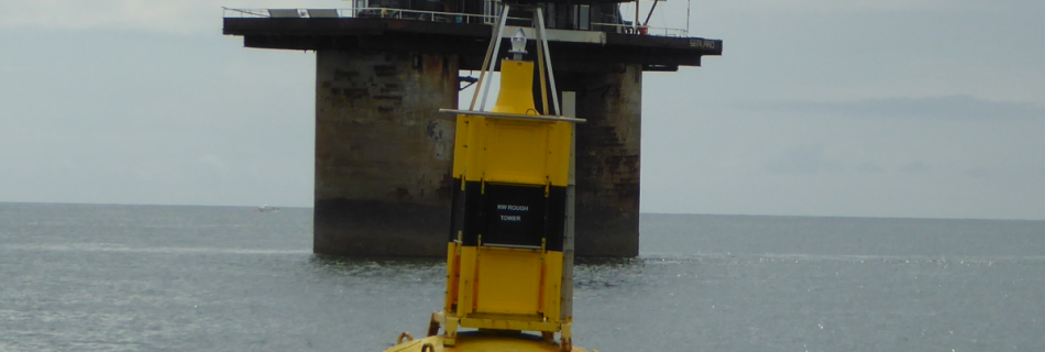
“the descent, although perfectly safe, was not graceful”. John Posford There are quite a few items on this fascinating structure, so it gets its own section.
WWII Defensive Barrier Shoeburyness to Sheerness
This was not the first defensive structure hereabouts. See Shoeburyness. For a fuller account of the barrier see this site. The defensive boom required many resources for its operation including fourteen tugs, five launches and team of four hundred people. In the early part of the war enemy aircraft managed to lay mines inside the …
Read more “WWII Defensive Barrier Shoeburyness to Sheerness”
Captain John Washington
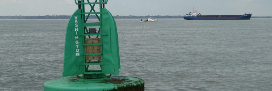
Off Harwich is a starboard hand buoy named for Captain John Washington. Some sailors know that he was an important figure in the history of the Haven. Washington was a sailor, explorer, cartographer, hydrographer, linguist, humanitarian, scientist, spy and engineer. His work on the port was a tiny part of what he achieved.
Fort (Landguard)
Martello Towers
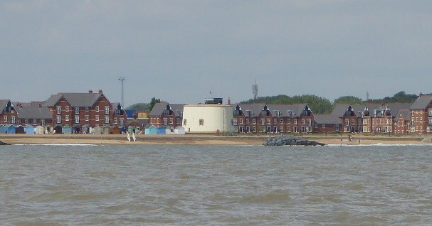
Between 1808 and 1812, twenty-nine Martello Towers were built along the coasts of Essex and Suffolk: eighteen still exist, with one over-built (R): eleven have been lost. The sources given below cover the history and current state of the Towers: the objective here is to show, on the overview map, the positions of current towers …
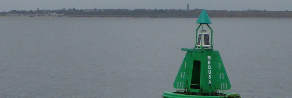
Medusa Buoy, HMS Medusa, Medusa Channel and Lord Nelson
1801 Nelson in HMS Medusa with Capt. Gore is guided by Spence to scrape out to sea.
Bloody Point at Shotley Spit
Deben and Orwell have Bloody Pint – King Alfred vs the Danes – Martellos – Stone Heaps
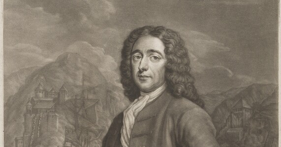
Grog – Vice-Admiral Edward Vernon
The GROG SHM is presumably named for Edward Vernon. He served on Admiral Sir Cloudsesley Shovell’s flagship at the capture of Gibraltar. He was later captain of the ship that avoided disaster in the catastrophic loss of Cloudesley Shovell’s fleet on the Isles of Scilly in 1707. After rising to the rank of Vice Admiral, …
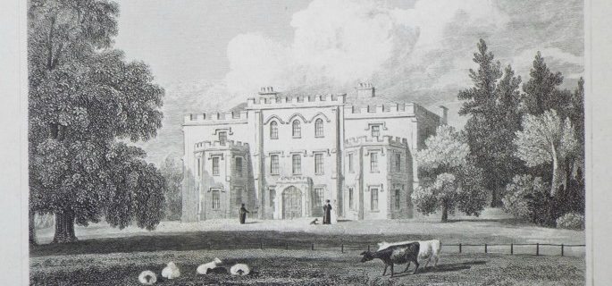
Broke Hall on the Orwell : Captain Philip Broke
Broke Hall – Broke family – Sea Fencibles – HMS Shannon – USS Chesapeake – Wickham Mill – Carronade – Gunnery
