Ferro Concrete Barges on the Stour
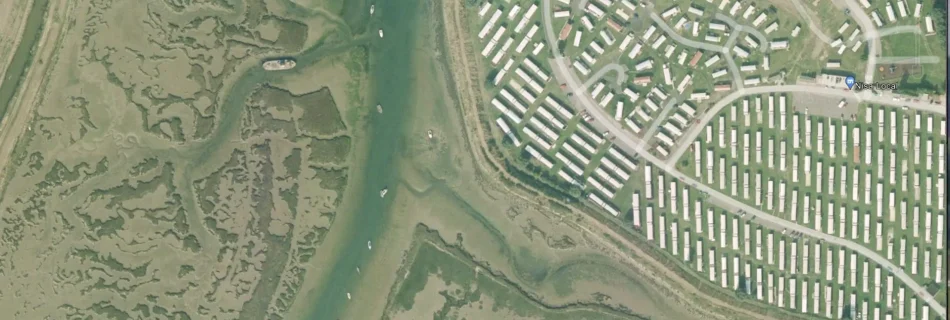
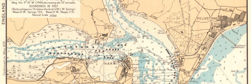
There are Ferro Concrete Bargesthe Stour at Harwich,, Mistley and in Ewarton Bay.
Ferro Concrete Barges on the Orwell
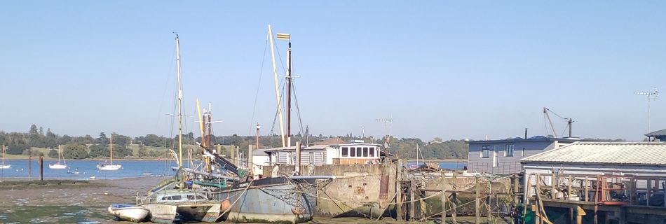
There are at least two Ferro Concrete Barges at Pin Mill on the Orwell. One is a stem head, used as a houseboat, and one an open swim head. Another is buried under Ipswich Grain Dock.
Metal Lighter Hulk on the Stour
A hulk (69’x20′ ) sits on the mud in Bathside Bay (drying height 3.8m CD) and has been there since at least 2000. This looks very much like an old steel Thames lighter.
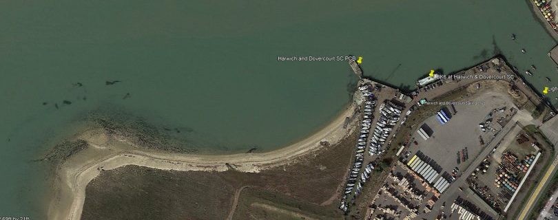
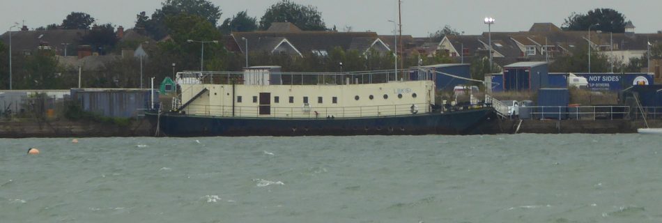
LBK6 – Landing Barge Kitchen at Harwich
The fighting men who landed on D-Day needed to be fed so ten Landing Barge Kitchen (LBK) were built for the task. These were adapted from steel Thames Lighters by fitting two petrol engines and building the kitchen on the lighter. Crossing from Langstone Harbour to Sword Beach on D-Day, with the 35th LB Flotilla, …
Ferro Concrete Barges in Walton Backwaters
Five Ferro Concrete Barges, FCBs, in Walton Backwaters at Foundry Reach and Tichmarsh Marina. From WW2.
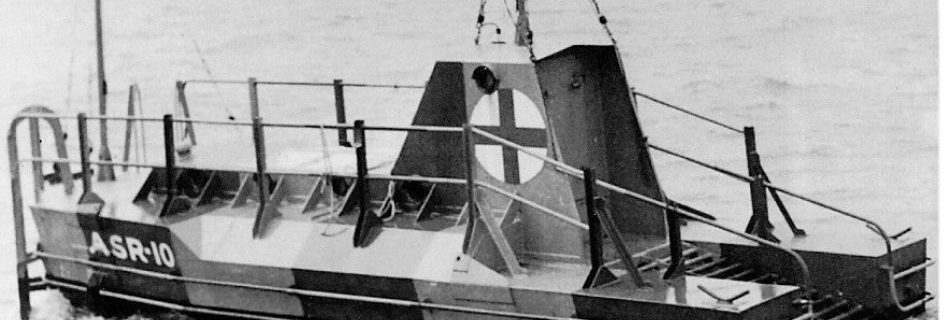
World War Two Air Sea Rescue Buoys or Floats
Both Britain and Germany deployed Refuge Floats for airmen in the North Sea and Channel. How many lives were saved is unclear. Examples still exist – see the notes. RAF Rescue Float More information: RAF Boats 1918 – 1986 and a 3D view at Scottish Maritime Museum German Air Sea Rescue Buoy – Lobster Pot …
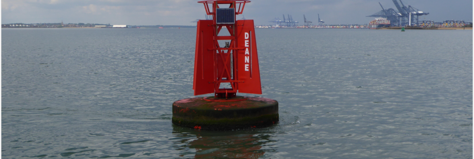
Deane, Sir Anthony
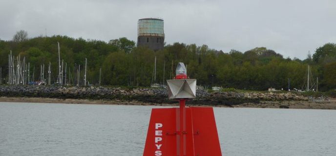
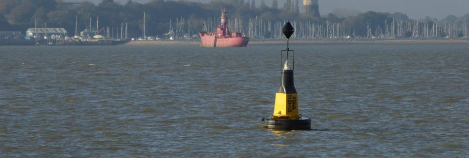
Anthony Deane, friend of Pepys, built ships at Harwich and help repel the Dutch. He wrote his Doctrine of Shipbuilding and was key to building the Royal Navy. He is commemorated only by the Red Buoy at Harwich.
Saviour of Harwich Haven- John Washington
The Sledway
On the modern (2015) charts the Sledway is the channel between Cutler Sand to the West and Bawdsey Bank to the East. However, historically, the Sledway is the navigable sea bounded by the Cutler, Bawdsey Bank, Shipwash, Threshold, Roughs, Ridge and Cork, which affords access to the Havens. A sense of this is given in …
1966 Admiralty Chart No 2693 Approaches to Harwich
Full size on file.
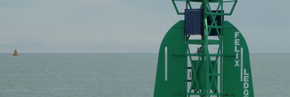
Felixstowe Ledge
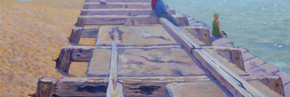
There is a bed of stone between the Deben and the Naze which has been mined as a building material. The northern part extends seawards from Cobbolds Point to Felixstowe Ledge. The point exists because the land north and south is softer and has eroded. The rock armour installed in the 2000s aims to preserve …
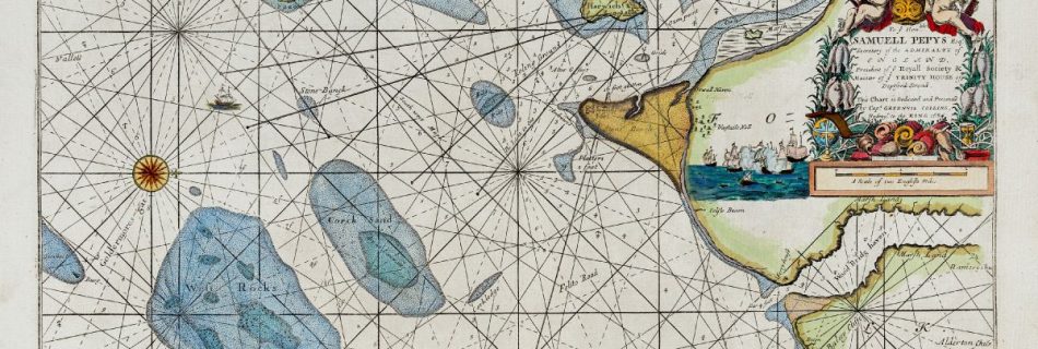
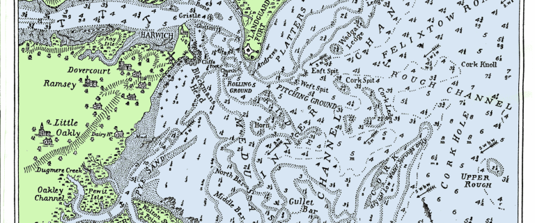
1683 Greenvile Collins chart of Harwich Haven
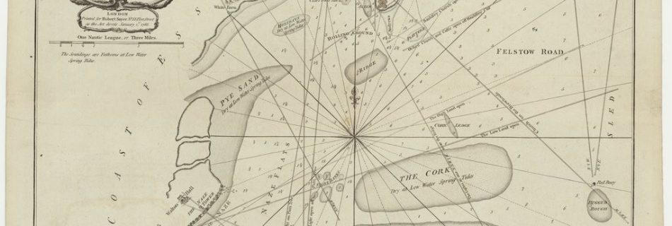
A great deal of local interest within this chart. Vintage Maps – excellent selection: (Grahame Spence Charts – If you like to download the image of this map with a resolution of 1200 pixels, please follow the link below. You can use this image for publication on your personal or commercial websites for free if you set …
H.M.S Arethusa
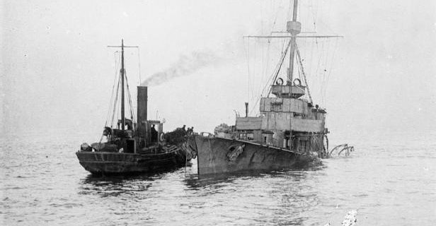
Arethusa was a Royal Navy Light Cruiser stationed at Harwich under Admiral Tyrwhitt during the Great War. She served as his flagship at the Battle of Heligoland Bight (1914). On the 11th of February 1916, she struck a German mine: whilst being towed back to the port, Arethusa sank near the Cutler sandbank off Woodbridge …
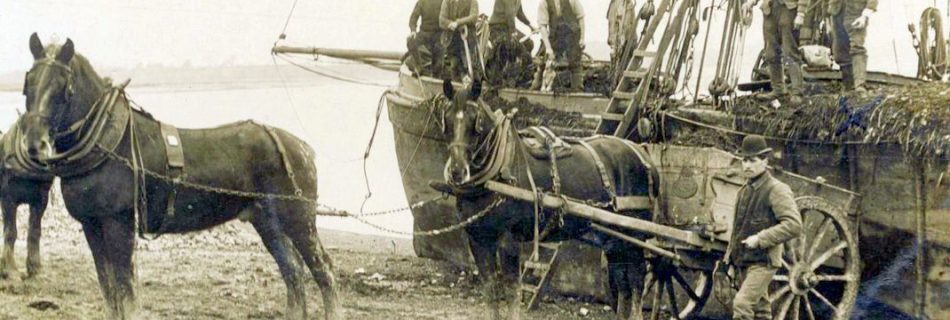
Muck and Straw Barges at Waldringfield
Towards the end of the nineteenth century, London was the largest city in the world and road transport was powered by horse: fifty-thousand horses were required just to keep Victorian London’s public transport running, another ten thousand horses for hansom cabs, and countless more to substitute for white vans made around 300,000 horses producing, say, …
Anglo Saxon Fish Trap on the Stour
See STU 067 – A wooden fish trap of Anglo-Saxon date, located to the west of Holbrook Creek in Holbrook Bay, Stutton – Suffolk Heritage Explorer
SS Prinses Juliana
The cross-Channel steamer Prinses Juliana (1909) was wrecked off Felixstowe. On 1 February 1916, she struck a mine from UC-5 while on a voyage with passengers from Vlissingen (Flushing) to Tilbury and was grounded. Ultimately the ship became a total wreck. There is confusion in online sources between Juliana and …
SB Martinet in Hollesley Bay
Bob Roberts, in Coasting Bargemaster, tells a compelling tale of how his ship, the ‘boomie’ barge Martinet, was wrecked in World War Two. He wrote that the ship wanted to kill its crew, and he had been in trouble before, having …
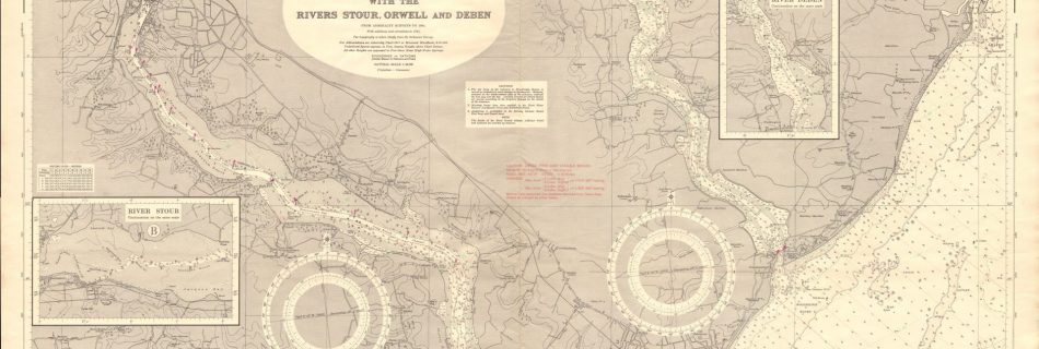
1943/4 War Department Charts
These were originally in a ring bound set and are not much larger than A5 size. If there is one of the Deben it is elusive. These are from personal collection.
1690 Plan of Harwich at BL
Available here.
1794 George Burns Harwich
Similar to, but later than, the Collins chart and sits nicely between it and Washington’s 1845 chart. See online for extracts. Shows the Brew House, Platters, Red Beard but not the Bawdsey beacon. Good marks.
Harwich Haven
Goldmers Gat
1940 Harwich Haven, German WW2 chart
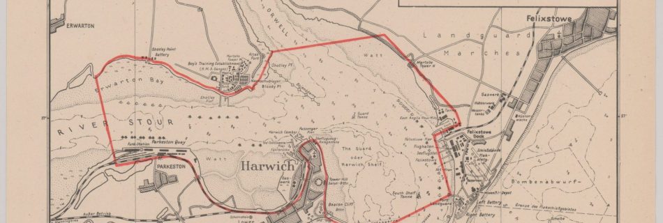
Note the boom at Shotley and netting from the breakwater. Also, the bombing range is buoyed.
Memoirs and Anecdotes of Philip Thicknesse: Late Lieutenant Governor of Land Guard Fort…
Thicknesse was quite a character, he was Governor of Landguard Fort and built a cottage at Cobbold’s Point. There are many interesting connections: shipwrecks, Lord Orwell/Vernon dispute, Dr Dodd, and many more. More to do on him! Philip Thicknesse, Landguard’s Loosest Cannon | English Heritage (english-heritage.org.uk) Philip Thicknesse – Wikipedia Volume 1 – Thicknesse, Philip. …
Read more “Memoirs and Anecdotes of Philip Thicknesse: Late Lieutenant Governor of Land Guard Fort…”
Fort – 1667 The Dutch Invasion of Felixstowe
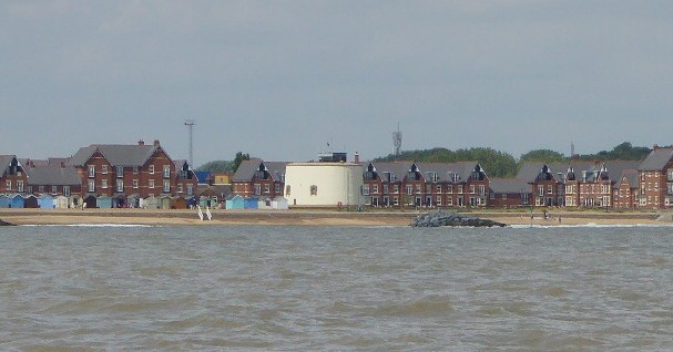
Landguard Point
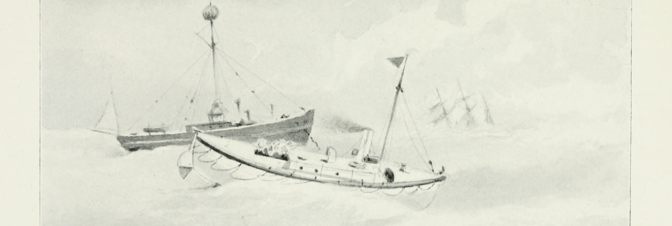
Cork Light Ship
A light ship to the north of Cork Ridge is marked on the 1852 Washington Chart and also appears on a 1903 Meesum Chart. It was replaced by a large buoy in the 1970s.
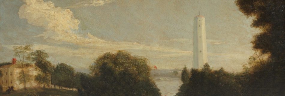
Naze Tower
Trinity House erected the Naze Tower in 1720 as a sea mark for shipping: at 49m above Mean High Water Springs it is visible from well offshore. Washington’s 1852 Chart gives a transit of “Walton Hall north of the Tower” to clear Longsand Head (about 14NM out) and come through Goldmer’s Gat clearing the head …
Hamford Water: Walton Backwaters
Johnny All Alone Creek in the Stour
Harwich Harbour Shoals
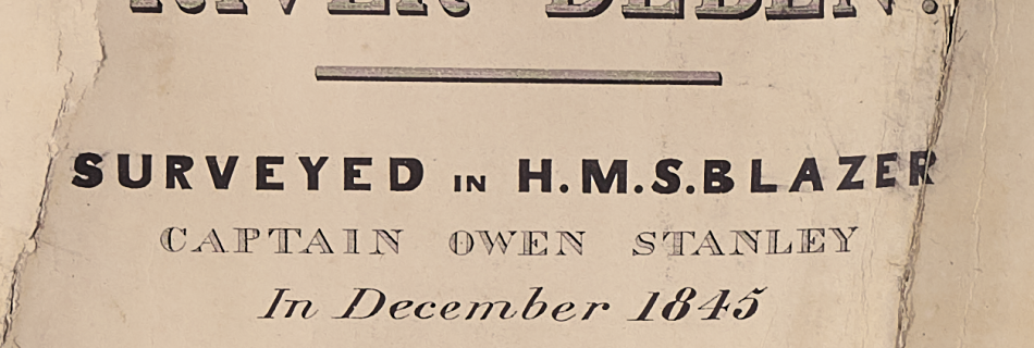
HMS Blazer and Captain Owen Stanley
Surveyor – Explorer – Deben Survey – Franklin – Erebus & Terror – Australia – Rattlesnake and propellers.
Rolling Ground and Pitching Ground
Rolling Ground appears on the 1686 Greenvile Collins Chart although Pitching Ground does not: possibly the area was sheltered by a sand bar at that time. The original location of the Rolling Ground was further west than today’s buoy and just south of the fort and so sufficiently sheltered and deep to ride at anchor. …
Gullet Channel
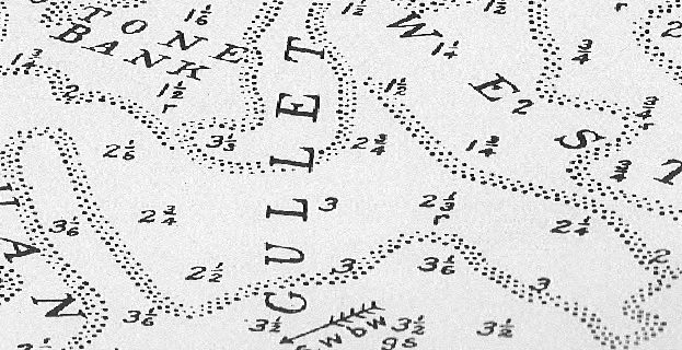
The Gullet Channel provides a North South route to Goldmer Gat which avoids the shoals near Harwich. It is shown on the 1804 Spence Chart.
The Bawdsey Sea-mark and Churches
Until 1934 a 50 foot high seamark on Bawdsey Cliff marked the Sledway.
Walton Hall
European Gateway
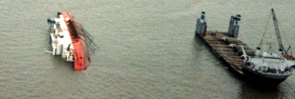
Capsized on the sand near Cork Spit, this is on the south side of the channel opposite Wadgate Ledge. See RNLI report
Captain John Washington
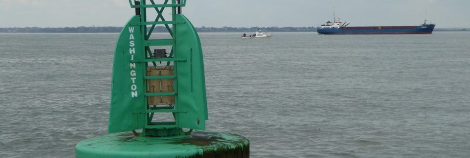
Off Harwich is a starboard hand buoy named for Captain John Washington. Some sailors know that he was an important figure in the history of the Haven. Washington was a sailor, explorer, cartographer, hydrographer, linguist, humanitarian, scientist, spy and engineer. His work on the port was a tiny part of what he achieved.
Stone Bank
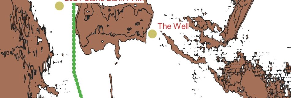
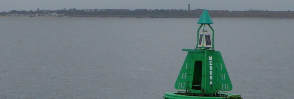
Stone Banck is marked n 1686 Collins Chart and buoyed in 1821 probably for cement stone dredging. Part of the Medusa Channel.
1804 Graeme Spence Harwich Chart
See Graeme Spence
Felixstowe Shoreline
Cement Stone Mining
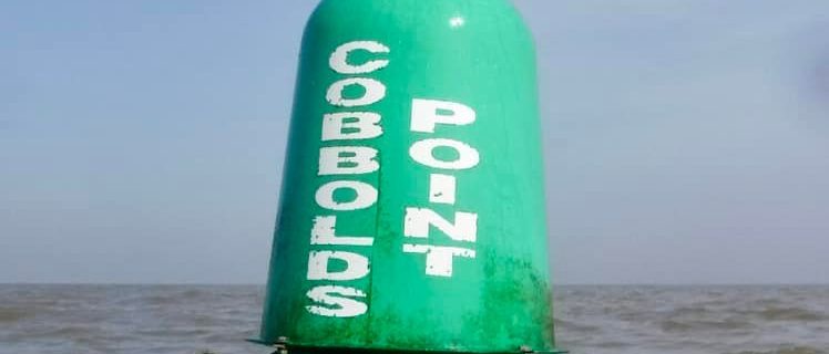
Cobbolds Point
A Seasonal Buoy warning yachtsmen and destination for swimmers. Has been Felixstowe Pt., Home Pt. and Cottage Point..
Ness to Naze Coastline changes
Kettle Bottom
Bawdsey Bank
Pye End – Walton Backwaters
Goldmer Gat
Walker
Babergh
This is positioned on the boundary of East Suffolk and Babergh local authorities. Not very imaginative.
Gristle
Guard
South Cork
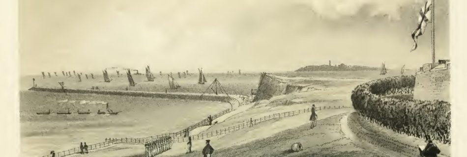
Peter Bruff and Bruff’s Breakwater at Landguard
Peter Bruff, aka the East Anglian Brunel, was the Civil Engineer who built the Breakwater at Landguard Point …
Wadgate Ledge and Wadgate Creek
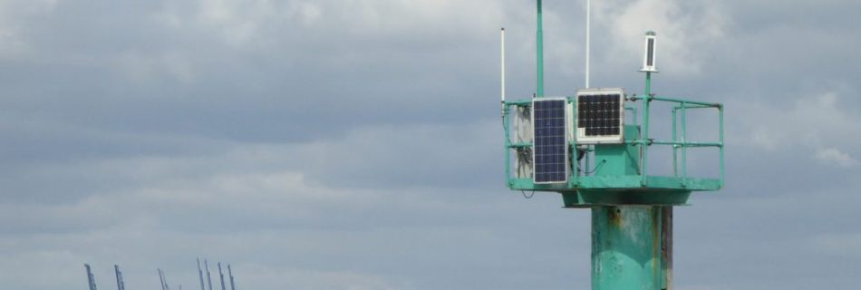
Pillar replaced buoy – Tide Gauge – Wadgate meaning – Settlement – Harbour
Fort (Landguard)
Martello Towers
Between 1808 and 1812, twenty-nine Martello Towers were built along the coasts of Essex and Suffolk: eighteen still exist, with one over-built (R): eleven have been lost. The sources given below cover the history and current state of the Towers: the objective here is to show, on the overview map, the positions of current towers …
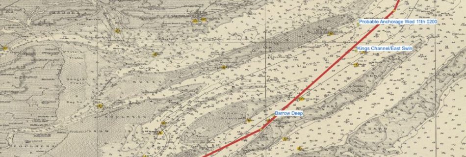
Harwich Deep Water Channel
Pepys, Samuel
Samuel Pepys, known for Samuel Pepys Diary is covered fully elsewhere. Of local interest is that he was M.P. for Harwich and …
2:HM Fort Roughs Tower – the Maiden Voyage
Bombers – Northfleet – Maunsell – Tilbury – Barrier – Storm – Late arrival
Orwell and Stour
Medusa Buoy, HMS Medusa, Medusa Channel and Lord Nelson
1801 Nelson in HMS Medusa with Capt. Gore is guided by Spence to scrape out to sea.
Ha’Penny Breeze
Bloody Point at Shotley Spit
Deben and Orwell have Bloody Pint – King Alfred vs the Danes – Martellos – Stone Heaps
Broke Hall on the Orwell : Captain Philip Broke
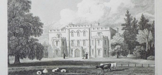
Broke Hall – Broke family – Sea Fencibles – HMS Shannon – USS Chesapeake – Wickham Mill – Carronade – Gunnery
Beacon Hill – Harwich Fort
Nacton Shore
Felixstowe sea temperature
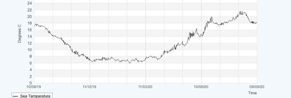
From Channel Coastal Observatory graph showing temperature range by month for 2018-2020 data. Month Degrees C January 6.7 February 6.1 March 7.6 April 9.7 May 12.6 June 16.2 July 18.4 August 19.9 September 17.6 October 14.3 November 9.9 December 7.7 Some data here on temperature rise. There are better figures for Sizewell somewhere. About 0.75 …
Edward Killwick Calver R.N.
TBA
Roman Port of Orwell
River Orwell
Orwell Estuary by W.G. Arnott
Harwich Haven Charts and Pilots
Harwich Haven
1851 A Season at Harwich by W H Lindsey
Good section on Gunfleet Sands. A Season at Harwich by W H Lindsey Download from iArchive
