Bawdsey and Alderton Churches
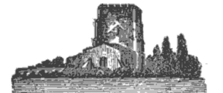
Both Bawdsey and Alderton church towers were once used for navigation. Alderton’s spire collapsed in 1821, killing a cow! So, because the diminished church became unsatisfactory for navigation, the sea-mark was rebuilt in 1831 and again in 1837. Next, in 1841, boys set fire to the thatched nave of Bawdsey Church with Guy Fawkes night …
Churches for Navigation
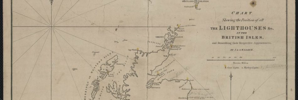
1830 Chart of Lighthouses & Lightships
Zoomable version here. Also see Tizard for Thames Estuary.
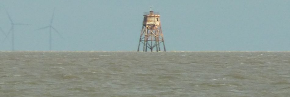
Gunfleet Old Light House and Beacon.
Also see: Gunfleet Sand 1736 Wooden Beacon A wooden beacon was installed by Trinity House in 1736: this was shown on the 1790 Stanier and 1852 Imray charts and, presumably, would have been a similar structure to the Whittaker Beacon. 1850 Screwpile Lighthouse The wooden beacon was replaced …
1759 Bowen Essex showing Orwell Beacon
Available at high definition at BNF. This shows the Orwell Beacon at Havengore. Did this lead to the Essex Inshore route? Some of the beacons, such as at Harwich Navy Yard, show shapes and the marshes and ‘-wicks’ along the Essex coast are worthy of note.
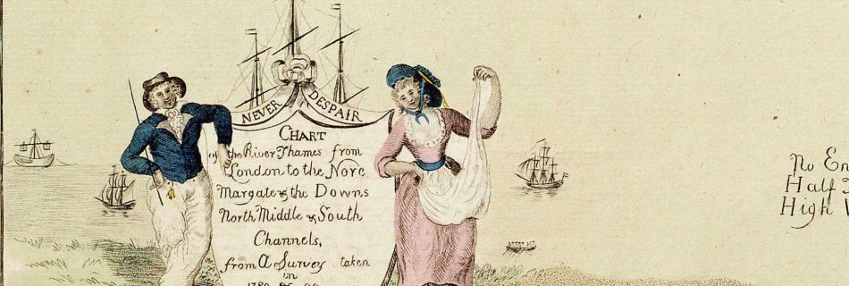
1790 Stanier Thames Estuary
1790 Stanier Thames Estuary on wikimedia has drawings of beacons and buoys as well as tidal data. A lovely chart.
Essex Beacons
Landguard Point
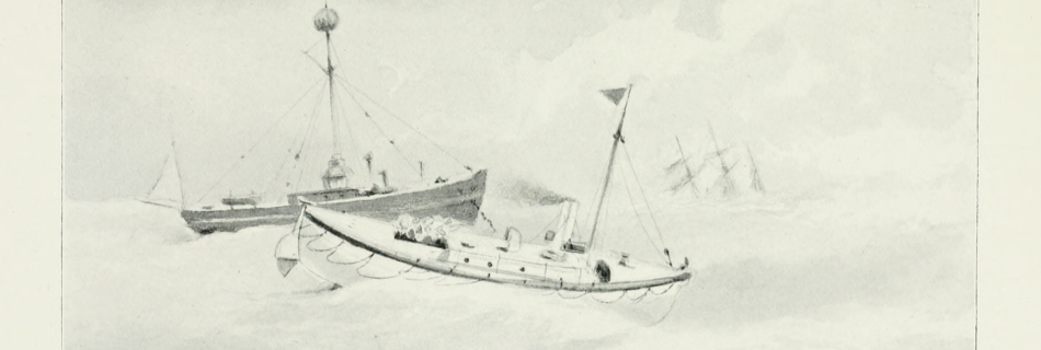
Cork Light Ship
A light ship to the north of Cork Ridge is marked on the 1852 Washington Chart and also appears on a 1903 Meesum Chart. It was replaced by a large buoy in the 1970s.
Naze Tower
Trinity House erected the Naze Tower in 1720 as a sea mark for shipping: at 49m above Mean High Water Springs it is visible from well offshore. Washington’s 1852 Chart gives a transit of “Walton Hall north of the Tower” to clear Longsand Head (about 14NM out) and come through Goldmer’s Gat clearing the head …
The Bawdsey Sea-mark and Churches
Until 1934 a 50 foot high seamark on Bawdsey Cliff marked the Sledway.
