Nacton Shore
OS Grid Ref Local
1635 Mercator Atlas of the World
Includes the first use found of the name Deben and some notes on distances. See here.
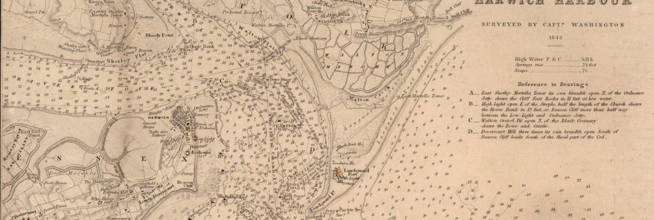
Harwich Haven Charts and Pilots
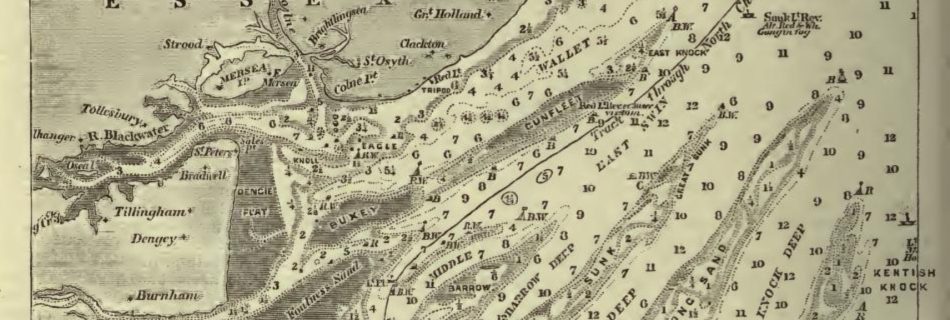
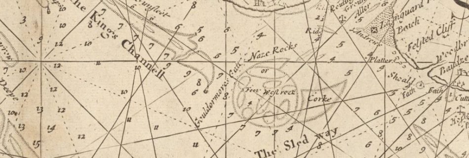
More Thames Estuary Charts and Pilots
See also Thames River Charts, Deben Entrance Charts and Pilots and Harwich Haven Charts and Pilots 1688/9 Halley’s Survey presented to the Royal Society but whereabouts not known. Results incorporated in his Channel Chart. See Halley 1903 East Coast Rivers by Meesum 1923 East Coast Rivers – on file 1933 File:Admiralty Chart No 1610 North …
1752 John Mount Thames Chart
Here at David Rumsey Collection.
1852 A new chart of the River Thames. With its entrances
Harwich inset by Captain Washington. 1852 A new chart of the River Thames. With its entrances David Rumsey Collection.
Swin Spitway notes
Southwold
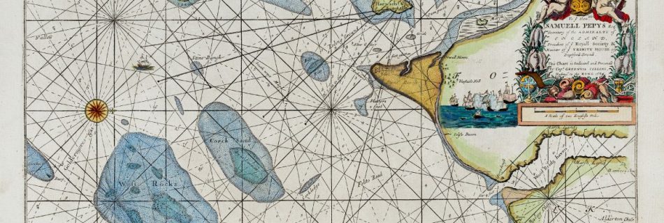
1736 Greenvile Collins Chart of part of coast of England
Available at David Rumsey Collection. Note Gunfleet, Walfleet, Easton Ness. also see 1683 Greenvile Collins chart of Harwich Haven – East Coast Curious
1815 Arrowsmith Atlas of area from David Rumsey Collection
Full map here.


