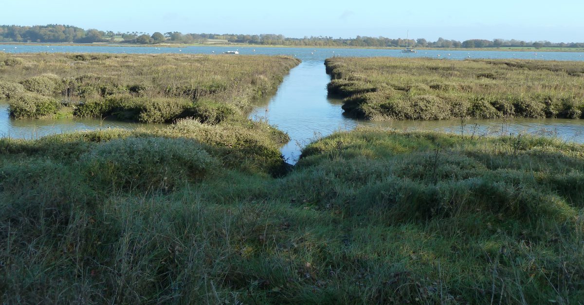
Our waters are shallow with many shoals and sandbanks. The safe channels have been known for many centuries and some, such as the Spitway, are mentioned in old documents. There are also our rivers which have names for the different reaches and creeks. As the same term often applies to both the bank and the channel, i.e. Ray Sand, some items are allocated to both categories.
Tizard, writing in 1890 defines the channels in the Estuary:
…the channels between them[the banks], trend in a north-east and south-west direction: this is doubtless due to the fact that the stream outside the estuary is running to the northward whilst the tide is ebbing from the river, and, consequently, the ebb stream in the estuary is deflected to the north-east-ward. 1The north-east set of the tide is reinforced by the Coriolis effect due to the Earth’s rotation.
The channels into the estuary, therefore, must be classed under two headings : (a) those which follow the main line of the flood and ebb streams, and (b) those which do not follow the general stream of the tide.Tizard, T. H. (Thomas Henry). The Thames Estuary. 1890
In the former category are the Warp, West Swin, Middle Deep, East Swin, Barrow Deep, Oaze Deep, and Black Deep; in the latter are the Middle Swin, Queen’s Channel, Prince’s Channel, Alexandra Channel, Duke of Edinburgh Channel, Gore Channel, &c., which are all more or less of the nature of swatchways across the main line of the sand-banks of the estuary. In the Black and Barrow Deeps, which are the deepest and straightest channels through the estuary, the ebb stream runs 7 hours and the flood 5 hours, and the ebb is much stronger than the flood, the stream setting fairly through. In the Duke of Edinburgh Channel, the deepest swatchway of the estuary, the streams at the north and south ends are of a rotatory character, revolving with the hands of the clock.
15th Century, Hakluyt Local Sailing Directions
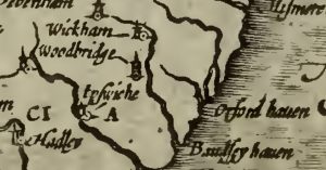
1759 Bowen Essex showing Orwell Beacon
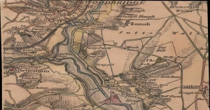
1837 Colby Map of Deben Area
1845 Deben Survey
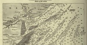
1890 Thames Estuary Survey by Tizard – extract
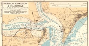
1943/4 War Department Charts

Abraham’s Bosom
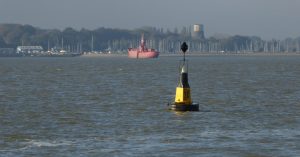
Bloody Point at Shotley Spit
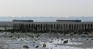
Breakwater Lighters at Sales Point Bradwell
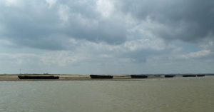
Breakwater Lighters in Walton Backwaters

Cutler and Redbeard Sands
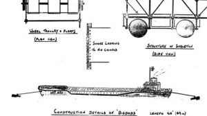
D-Day Deception Fleet – Deben
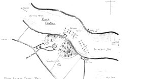
D-Day Deception Fleet – Orwell
Deben – the name
Deben Reaches and Marks
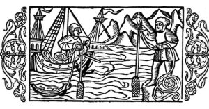
Deben Soundings
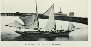
Edward Fitzgerald and Yacht Scandal
Ferro Concrete Barges in Walton Backwaters
Ferro Concrete Barges on the Orwell
Ferro Concrete Barges on the Stour
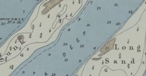
Foulger’s Gat
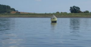
Galleons & Girling’s Hard

Grog – Vice-Admiral Edward Vernon
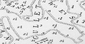
Gullet Channel
Hams and Tips
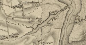
King’s Fleet on the Deben
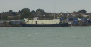
LBK6 – Landing Barge Kitchen at Harwich
Loder’s Cut and John Loder, Troublesome Reach, Bloody Point and Kyson Point.
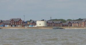
Martello Towers
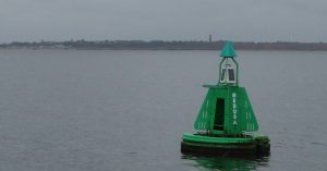
Medusa Buoy, HMS Medusa, Medusa Channel and Lord Nelson
Metal Lighter Hulk on the Stour
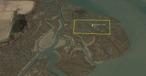
Mud Digging at Hemley for the Cement Works
Oyster Beds Opposite Falkenham Creek
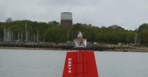
Pepys, Samuel
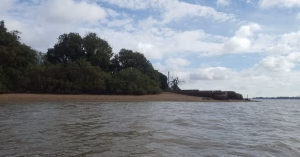
Pool at Orwell Park
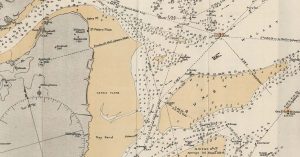
Ray Sand Channel
River Deben Association Archive
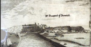
Sailing past Dunwich in the Seventeenth Century
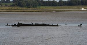
SB Three Sisters at Kirton Creek
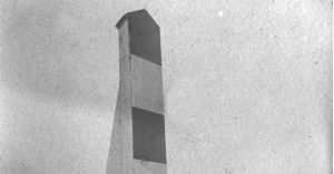
The Bawdsey Sea-mark and Churches
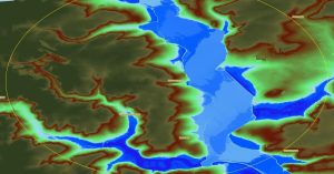
The Deben’s Ring of Churches
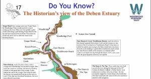
The Historian’s view of the Deben Estuary
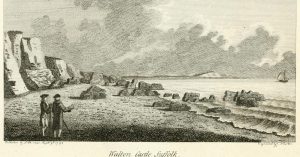
The Ruins of Walton Castle

The Sledway
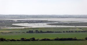
The Twizzle
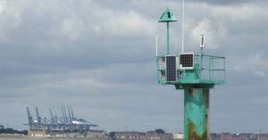
Wadgate Ledge and Wadgate Creek
Waldringfield Cuttings Marsh Survey
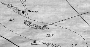
Waldringfield Horse and the Winkle
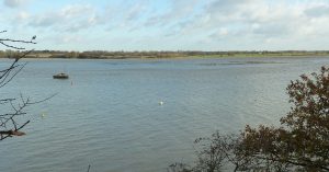
Waldringfield Island, Stonnor Creek and Burrell’s Long Wall
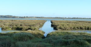
Waldringfield’s Mystery Cuttings
Where Thames Smooth Waters Glide
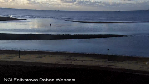
Woodbridge Haven
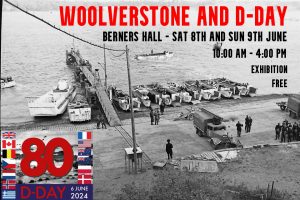
Woolverstone, D-Day at 80 Exhibition
Notes
Some terms:
Reach, Deep, Fleet, Swash, Channel, Way, Warp
Gat – an opening between sandbanks; a channel, a strait. (In use since in this sense since at least 16th century. Apparently from Old Norse ‘gat’ meaning hole, opening, passage.)2Shorter Oxford English Dictionary
Swatch – A passage or channel of water lying between sandbanks or between a sandbank and the shore (In use since at least early 17th century. Local English, chiefly eastern counties. )3Shorter Oxford English Dictionary
Sources
Marine Estate Research Report Historical changes in the seabed of the greater Thames estuary. give a list of historical charts as well as listing the names of many banks.
Muir-Evans, Harold. ‘The Mariner’s Mirror, 16:4, 411-423, DOI: Notes on SANDS ETC. BETWEEN HARWICH AND THE NORE’, 1930.
Muir Evans, Harold. A Short History of the Thames Estuary. Imray, Laurie, Norie, Wilson, n.d.
W.G.Arnott, W G. Suffolk Estuary : The Story of the River Deben. N. Adlard, , 2D Impression, 1950.
The Place-Names of the Deben Valley Parishes. Norman Adlard, 1946.
Redman, J B. ‘The East Coast between the Thames and the Wash Estuaries (Including Plate).’ Minutes of the Proceedings of the Institution of Civil Engineers 23, no. 1864 (January 1864): 186–224. https://doi.org/10.1680/imotp.1864.23283.
Footnotes
- 1The north-east set of the tide is reinforced by the Coriolis effect due to the Earth’s rotation.
- 2Shorter Oxford English Dictionary
- 3Shorter Oxford English Dictionary
Image Sources and Credits
Image Credits and Sources
- Deben-Plate: Source UKHO Archive. Copyright Protection has now lapsed
- 1902-Chart-of-Ray-Sand-from-Messums-East-Coast-Rivers: 1902 Chart of Ray Sand from Messums East Coast Rivers
- FI Bawdsey-Seamark-from-Di-Coulting-1447×2048@2x_cr: Courtesy of Coulting, Di - Boathouse Cafe Bawdsey | All Rights Reserved
- 1The north-east set of the tide is reinforced by the Coriolis effect due to the Earth’s rotation.
- 2Shorter Oxford English Dictionary
- 3Shorter Oxford English Dictionary
Image Credits and Sources
- Deben-Plate: Source UKHO Archive. Copyright Protection has now lapsed
- 1902-Chart-of-Ray-Sand-from-Messums-East-Coast-Rivers: 1902 Chart of Ray Sand from Messums East Coast Rivers
- FI Bawdsey-Seamark-from-Di-Coulting-1447×2048@2x_cr: Courtesy of Coulting, Di - Boathouse Cafe Bawdsey | All Rights Reserved
