I am told there are people who do not care for maps, and I find it hard to believe.
Robert Louis Stevenson 1‘Essays in the Art of Writing, by Robert Louis Stevenson’..Robert Louis Stevenson.
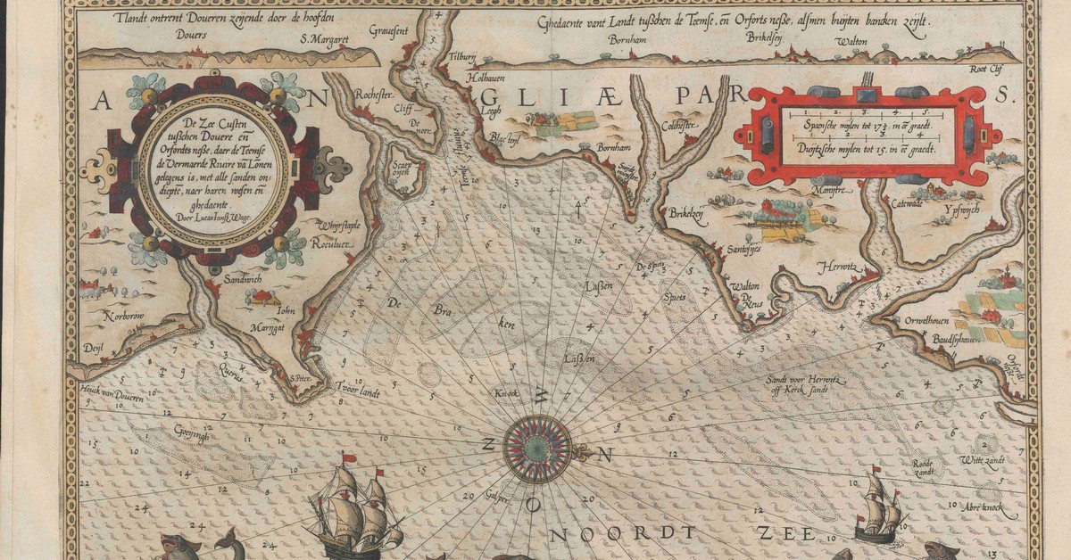
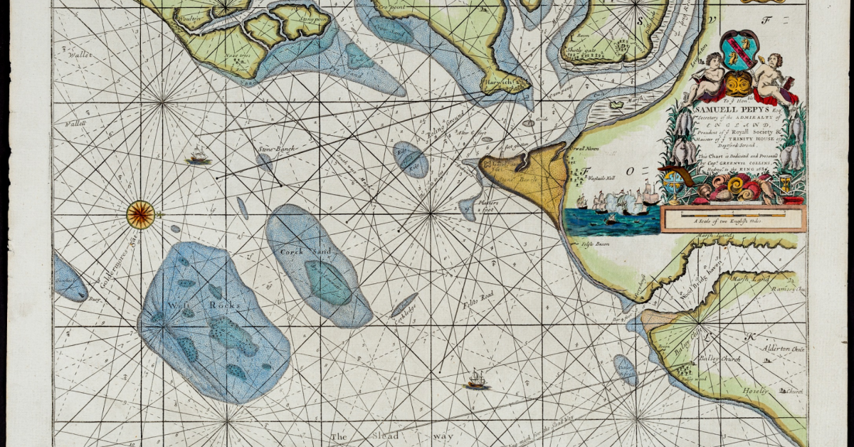
Charts, Pilots and Sailing Directions of the area. Ignoring Ptolemy, who gives little detail, the earliest Pilot claims to date from 1190. More detail emerges from the eighteenth century and there are many interesting features and bearings.
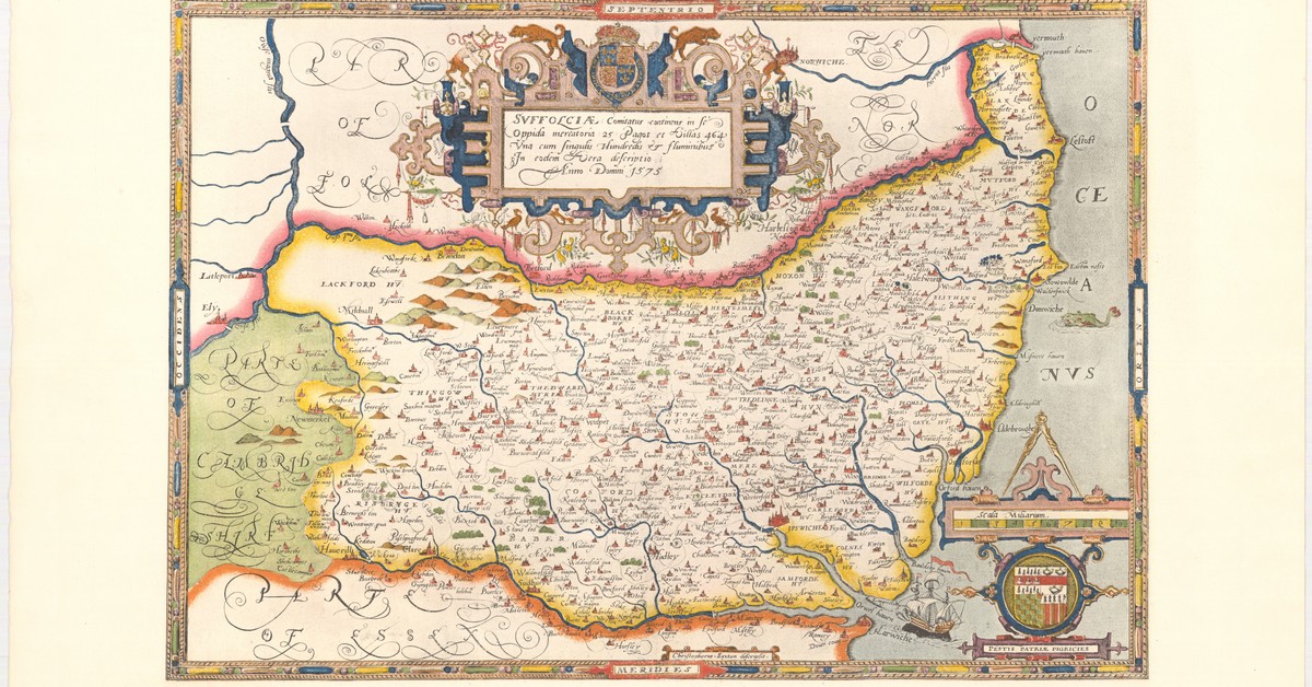
There is a good selection of charts and maps in the public domain and available online from Dutch, French and Spanish libraries. Scotland is the best source of Ordnance Survey. Some items, such as at the British Library are not Public Domain, so a link is given.
+Sources for Charts, Maps and Images

Maps of Land

Pilots, Atlases and Guides

Sea Charts
Notes
Questions
Sources
Blake, John. Sea Charts of British Isles: A Voyage of Discovery around Britain and Ireland’s Coastline. London Oxford New York [etc.]: Adlard coles nautical Bloomsbury, 2016.
Blake, John. Sea Charts of British Isles: A Voyage of Discovery around Britain and Ireland’s Coastline. London Oxford New York [etc.]: Adlard coles nautical Bloomsbury, 2016.
Footnotes
- 1‘Essays in the Art of Writing, by Robert Louis Stevenson’..Robert Louis Stevenson.
Image Sources and Credits
- 1‘Essays in the Art of Writing, by Robert Louis Stevenson’..Robert Louis Stevenson.
