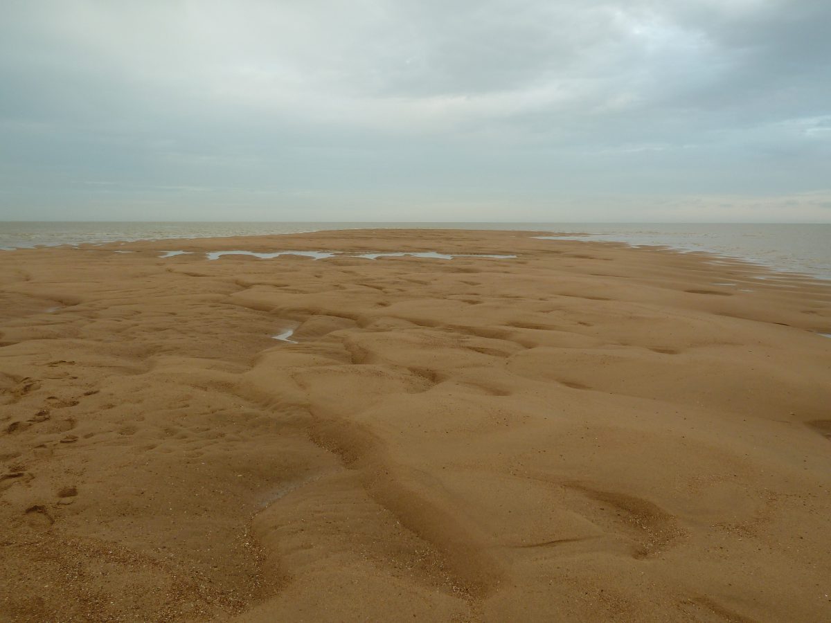
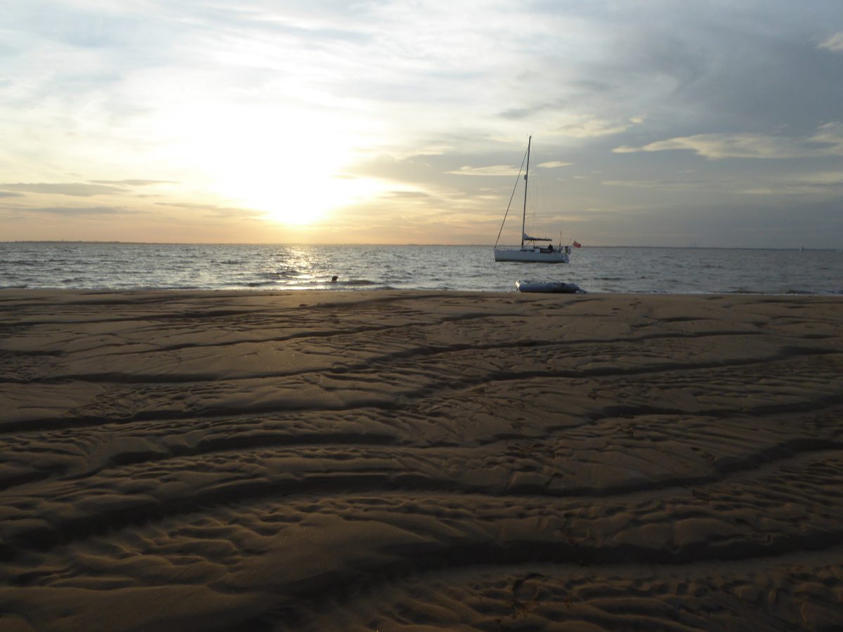
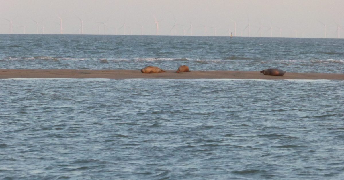
Cork Sand is situated between the Gullet/Stone Bank to the west, Roughs Shoals to the east, West Rocks or Goldmer’s Gat to the south and Harwich Deep Water Channel to the north. There is also a little used channel for small vessels between the Cork Sand and West Rocks. Just to the east is Cork Hole, a relatively deep area used by Trinity House for testing new buoys. As the name suggests, it is sandy and parts dry out at LW Springs making a landing possible albeit pointless. Navigators should note that there are discrepancies between charts of up to 500m in the area, the Bull seals can appear intimidating.

The description of this area has varied over the centuries with the emphasis changing amongst Cork Ledge, Cork Sand, Cork Knot and Spit and West Rocks although, for most purposes, they are a single obstacle to navigation. There was once a Cork Light Ship although this was to the north of the deep-water channel, as is the current Cork anchorage. Cork Spit was also to the north and the site of the European Gateway tragedy.
The name Cork Sand has been said to come from the Cork trees used as a landmark1Muir Evans assumes this – Muir-Evans, Harold. ‘The Mariner’s Mirror, 16:4, 411-423, DOI: Notes on SANDS ETC. BETWEEN HARWICH AND THE NORE’, 19302Cork trees shown on the 1794 Burns Chart near Walton on Naze and, indeed, Greenvile Collins’ The Coasting Pilot refers to trees on the Cork Land on the Essex shore as a mark. However, the sand is called the Cortledge on the 1539 Richard Cavendish chart of the coast of Essex and Suffolk. ‘Cort’ could mean short although may relate to the fourteenth-century Corteller/Curtiller family of Bawdsey whose name is the origin of Cutler Sand3W.G.Arnott, W G. Suffolk Estuary : The Story of the River Deben. N. Adlard, , 2D Impression, 1950. . Furthermore, as ‘Cortledge’ pre-dates the planting of cork trees in England4Cork trees were introduced to England in the 1690s then the origin of ‘Cork’ Sand is more likely to be the family name than the trees.

Footnotes
- 1Muir Evans assumes this – Muir-Evans, Harold. ‘The Mariner’s Mirror, 16:4, 411-423, DOI: Notes on SANDS ETC. BETWEEN HARWICH AND THE NORE’, 1930
- 2Cork trees shown on the 1794 Burns Chart near Walton on Naze
- 3W.G.Arnott, W G. Suffolk Estuary : The Story of the River Deben. N. Adlard, , 2D Impression, 1950.
- 4Cork trees were introduced to England in the 1690s
