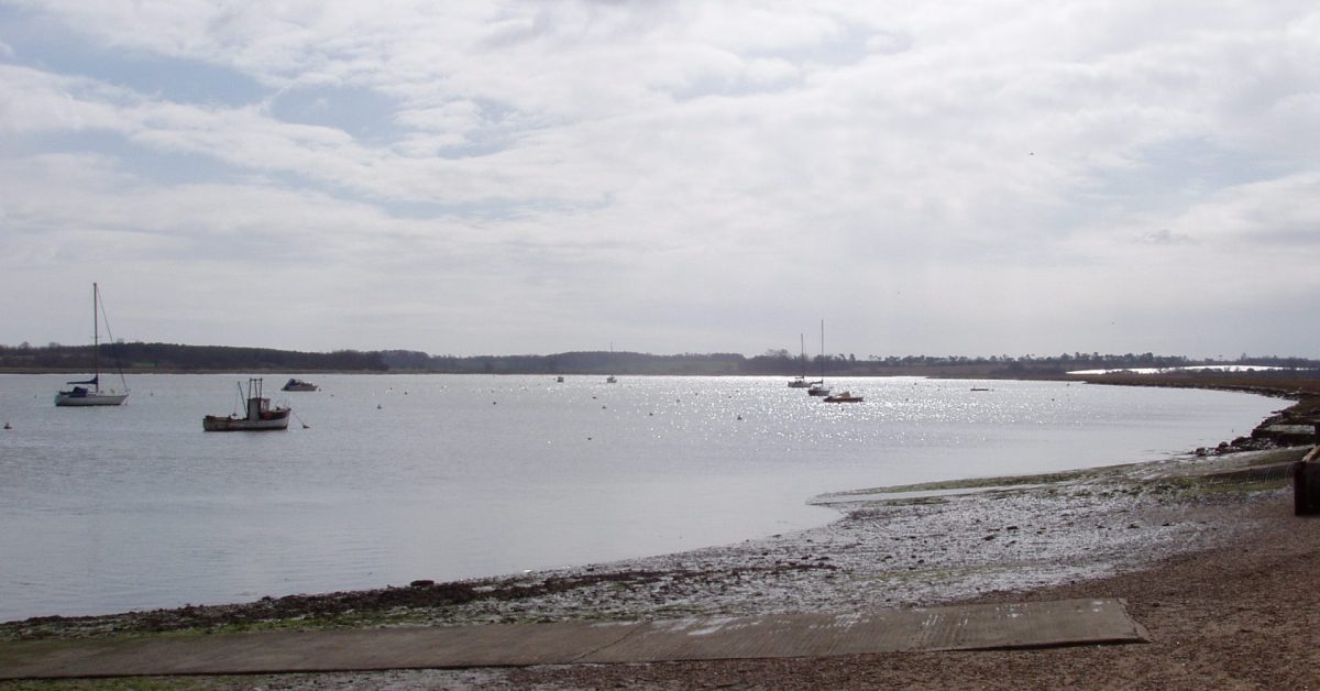
There are sufficient Deben items to justify a separate section albeit they are not an attempt to cover the river comprehensively. See the Sources section for further reading.
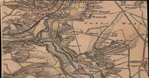
1837 Colby Map of Deben Area
This chart was engraved in The Tower of London at the Ordinance Map Office and published by Colonel Colby on ...
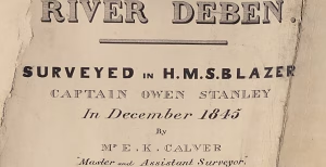
1845 Deben Survey
During the seventeenth to nineteenth centuries, the Royal Navy mapped the World and measured the Solar System. In 1845 H.M.S ...

Cutler and Redbeard Sands
Nowadays we are familiar with Cutler Sand as a 2m shoal about one and a half miles off Bawdsey Cliff, ...
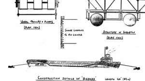
D-Day Deception Fleet – Deben
The Allied invasion of France in 1944 was perhaps the largest, most complex project ever attempted. One of the many ...
Deben – the name
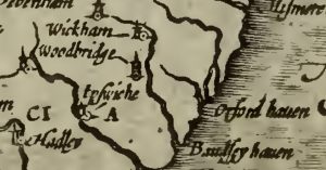
How and when did the name ‘Deben’ originate? This is a collection of accounts found, together with a few observations ...
Deben Reaches and Marks
For sailors, much of the navigational interest of the Deben is getting in and out of Woodbridge Haven: there is, ...
Deben Soundings
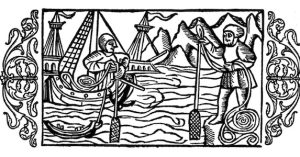
Deben Soundings FB Suffolk Inlets HB - good images from Sentinel data on the bar. Bawdsey tide gauge ...
Edward Fitzgerald and Yacht Scandal
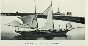
Edward Fitzgerald (1809-1883) was from a wealthy family and a gentleman of leisure. Known primarily for his translation of a ...
Galleons & Girling’s Hard
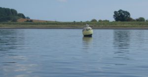
The Galleon's racing mark is most likely misnamed. The hard to the southeast was once known as Girling's Hard. There ...
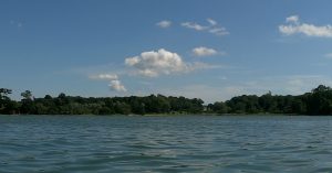
Hams and Tips
These are the remains of an attempt by Robert Cobbold of Sutton to enclose 150 acres in the late nineteenth ...
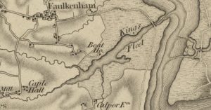
King’s Fleet on the Deben
In medieval times, before the encroachment of seawalls, the lower Deben was the significant port or haven of Goseford, well ...
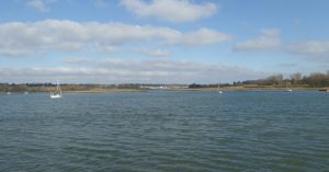
Loder’s Cut and John Loder, Troublesome Reach, Bloody Point and Kyson Point.
The 1845 Deben Survey shows a 'U' bend with Troublesome Reach to the south and Kingston Reach to the west ...
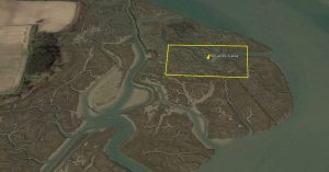
Mud Digging at Hemley for the Cement Works
In the latter part of the nineteenth century, Portland Cement was made at Masons Cement Works in Waldringfield on the ...
Oyster Beds Opposite Falkenham Creek
There are disused Oyster Beds opposite Falkenham Creek shown on the 1902 map but not on the 1881 map, so ...
River Deben Association Archive
This archive of earlier copies of the ‘Deben’ magazine is a trove of hidden treasures and readers will find their ...
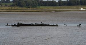
SB Three Sisters at Kirton Creek
There is little activity at Kirton Creek nowadays. However, it was once the mouth of the Mill River and, after ...
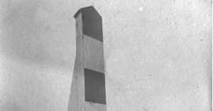
The Bawdsey Sea-mark and Churches
The Sea Mark The Sledway was the safe route from deep water east of the Shipwash to Orwell and Woodbridge ...
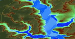
The Deben’s Ring of Churches
“As our circle of knowledge expands, so does the circumference of darkness surrounding it.” Albert Einstein George Arnott suggested that ...
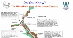
The Historian’s view of the Deben Estuary
On the Woodbridge Riverside Trust website: is An interesting map of the Deben with some historical notes. It has a ...
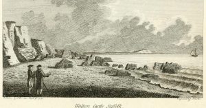
The Ruins of Walton Castle
Just four centuries ago the ruined Walton castle looked down from the clifftop, the remains are now beneath the sea ...
Waldringfield Cuttings Marsh Survey
See also Waldringfield’s Mystery Cuttings Objective To establish the level of clay below the marsh to assess the importance of ...
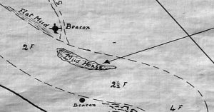
Waldringfield Horse and the Winkle
A Horse is a common feature in rivers. It is normally where the flow is fast and is usually associated ...
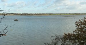
Waldringfield Island, Stonnor Creek and Burrell’s Long Wall
The Island: which some refer to as Waldringfield Island and others as Stonnor Island is a detached area of saltmarsh, ...
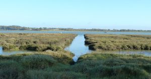
Waldringfield’s Mystery Cuttings
South of the sailing club along the seawall leading towards Hemley is a series of regular cuttings in the salt ...
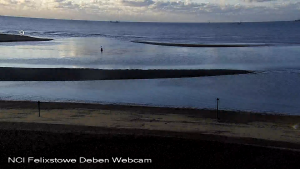
Woodbridge Haven
2010 Woodbridge Haven In Roman times the entrance, or Haven, was guarded by a Roman Fort which had collapsed into ...
Sources
W.G.Arnott (George) wrote two books about the Deben and covered the subject very well. He also wrote about the Orwell and Ore/Alde.
- Arnott, W G. Suffolk Estuary : The Story of the River Deben. N. Adlard, , 2D Impression, 1950.
- Arnott, W G. The Place-Names of the Deben Valley Parishes. Norman Adlard, 1946.
Robert Simper has written many books about the Deben and wider area which complement the above.
The River Deben Association has an archive of its magazine going back to the 1990s..
Footnotes
Image Sources and Credits
Image Credits and Sources
- FI Bawdsey-Seamark-from-Di-Coulting-1447×2048@2x_cr: Courtesy of Coulting, Di - Boathouse Cafe Bawdsey | All Rights Reserved
Image Credits and Sources
- FI Bawdsey-Seamark-from-Di-Coulting-1447×2048@2x_cr: Courtesy of Coulting, Di - Boathouse Cafe Bawdsey | All Rights Reserved
