There is a bed of stone between the Deben and the Naze which has been mined as a building material. The northern part extends seawards from Cobbolds Point to Felixstowe Ledge. The point exists because the land north and south is softer and has eroded. The rock armour installed in the 2000s aims to preserve it.
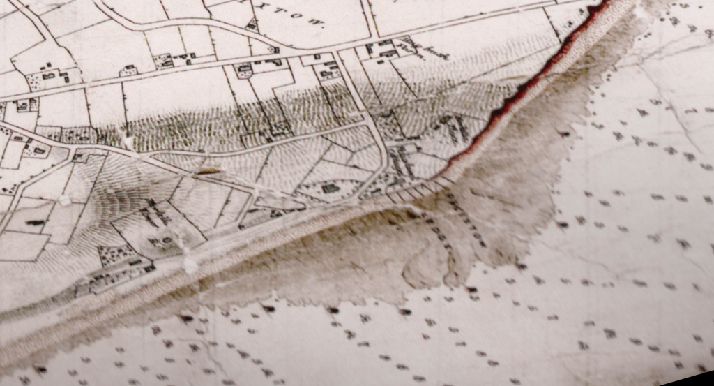
The ledge is shown on the 1845 Deben Survey as Felixstow Ledge and is surrounded by a number of buoys positioned by the Lord of the Manor. This was surely been done to demonstrate ownership for mining, which had started by then, rather than assist mariners.

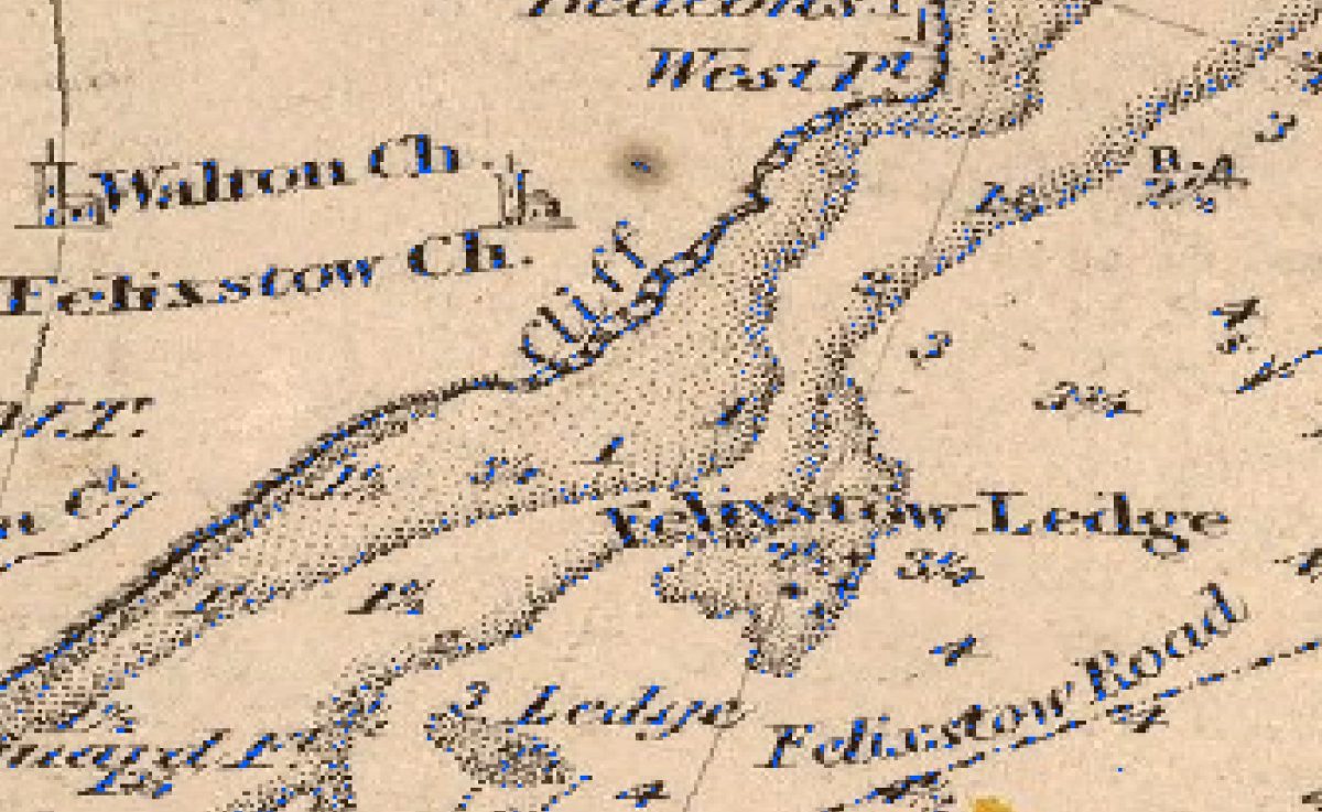
The larger scale 1852 Thames Chart shows Felixstow Ledge, at some time it was probably connected to Wadgate Ledge to the southwest. There are rocks marked, so it was an area to avoid.

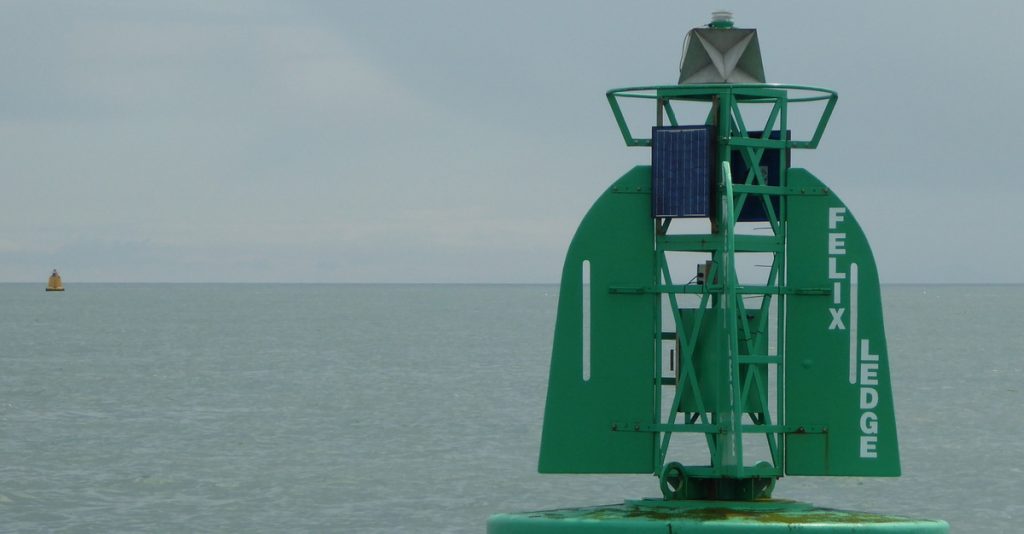
The current Felixstowe Ledge buoy (2021) is in the shipping channel about 1500m southeast of the actual ledge. There are a few wrecks marked nearby. The Felixstowe Waverider buoy which measures wave and temperature is adjacent. (2021)

Image Credits and Sources
- 1845 Deben Survey Felixstowe Ledge extract: Admiralty 1845
