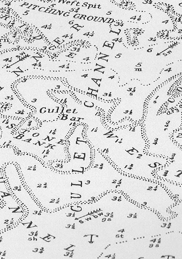
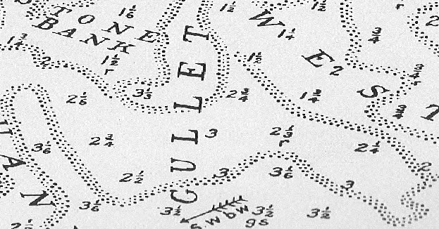
The Gullet Channel provides a north-south route to Goldmers Gat for sailing ships, avoiding the shoals near Harwich. Whilst it has reasonable depth, the channel is narrow. It is described, but not named, in the 1693 Greenvile Collins Coasting Pilot:
There is a Channel to Sail from the Naze between the Cork-Sand and the Ridge, keep∣ing the Naze Trees south west, sailing down north east between the Cork and the Ridge in five, six, and seven Fathom wa∣ter; and when you have brought Harwich Steeple on the Brewhouse that lyeth to the northward of Landguard-Fort, then are you clear of the Cork-ledge. This Channel is much used by the Light-Colliers going to the northward.
The channel is named on the 1804 Spence Chart.


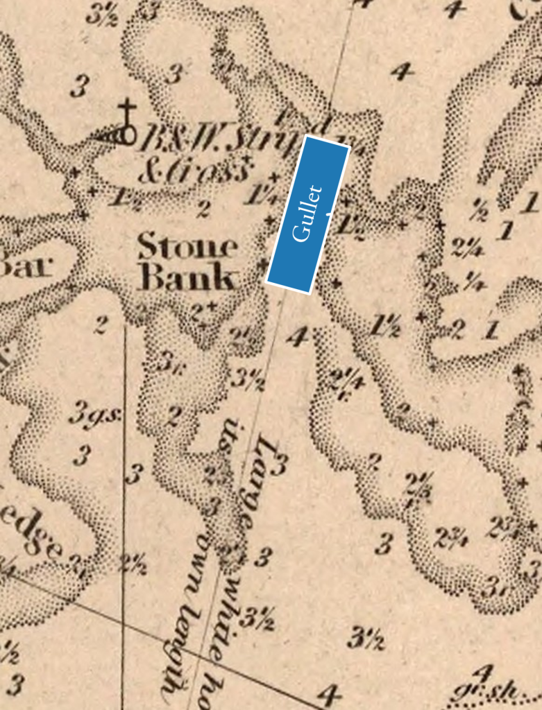
Gullet is obviously an anatomical naming due to the shape. The relatively deep, but narrow, channel was marked on the 1852 chart between Stone Bank and West Rocks with marks of:
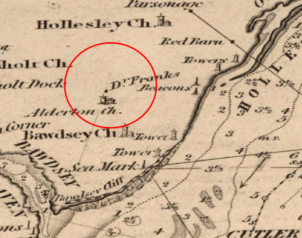
Large white house near Alderton Church its own length over the edge of Bawdsey Cliff NE 3/4 N (The bearings are explained here.)
The House was that of Dr Frank, Rector of Alderton and Chaplain of the Sea Fencibles in 1801.

The directions admit that Dr Frank’s house
Is a mark not easily made out by a stranger.
The directions were tried in 2021 but having use of only a low deck, we merely managed to see the cliff. There was also mention of the “Inner Channel” which is shown on Spence’s chart and appears of use if by-passing Harwich to go up or down the coast.
The deeper area now known as the “Well” is part of the Gullet channel.
