Also see: Gunfleet Sand
1736 Wooden Beacon
1790 Stanier Chart
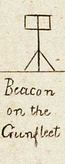
A wooden beacon was installed by Trinity House in 17361Beacon – Gunfleet | Trinity House History (wordpress.com): this was shown on the 1790 Stanier and 1852 Imray charts and, presumably, would have been a similar structure to the Whittaker Beacon.
1850 Screwpile Lighthouse
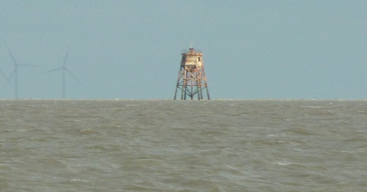
The wooden beacon was replaced by Gunfleet (Old) Lighthouse, erected by Trinity House in 1850. This is of the screw pile design2Trinity House Plan of Lighthouse – Trinity House History: Image (wordpress.com) similar to those once at Maplin and Chapman Sands. It was painted red and showed a red light.
In the book ‘Sailing Just for Fun‘ by A.C. Stock’ there is an account of him boarding it in the 1960s and seeing bullet holes from World War Two.
The lighthouse is 13m high and stands in about 1m CD. Why didn’t they build it on the drying ‘East Knock’ nearby? Perhaps because the shape of the drying area has changed between the 1852 chart and 1907 Reynolds chart and now.
Life in a winter storm must have been unpleasant: at High Water Springs there would have been no more than 5m between the living accommodation and sea level and that’s without the high waves breaking on the sands.
The light is described in the 1915 USNO England East Coast Pilot (the 72′ reference is odd):
Light .- A flashing red light, elevated 41 feet, and visible 11 miles, is exhibited from a red pile lighthouse, 72 feet high, on the southeastern edge of the sand.
Fog signal – During thick or foggy weather a bell is sounded. Distress signals – It is connected with the shore by telegraph for life-saving purposes only. Storm signals. – Day storm signals are displayed.
1939 Decommissioned
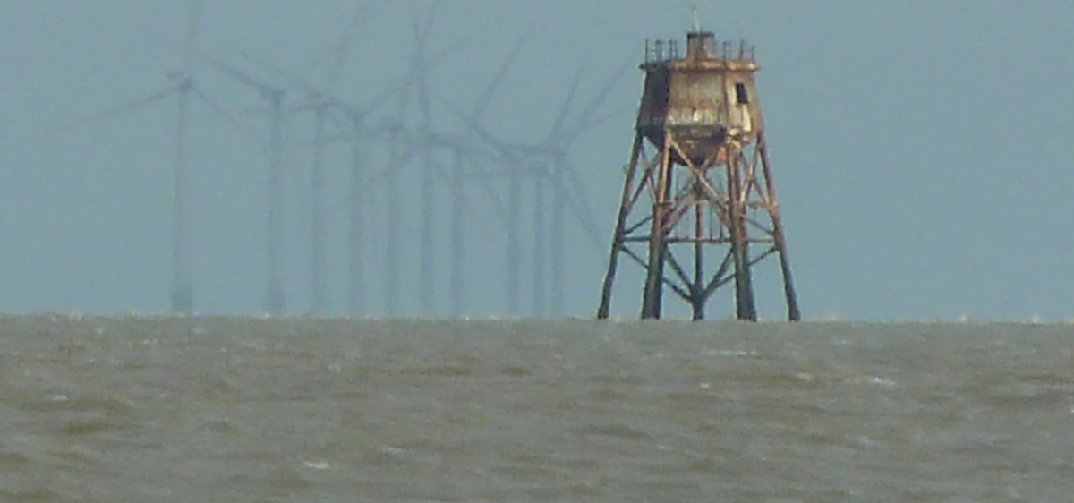
A 1945 Kriegsmarine chart shows the lighthouse to have been closed in 19393According to Gunfleet Lighthouse – Wikipedia he lighthouse was still listed as active in 1946 but appears to have been decommissioned by 1951. The text roughly translates to Light, red, 11 sea (nautical) miles, N-S Strm S. unknown. Closed 1939. ‘N-S Strm S‘ may refer to the storm signals. The height does not appear. The meaning of the circle of arrowheads at a distance of 1.4nM is unclear.
Western Beacon
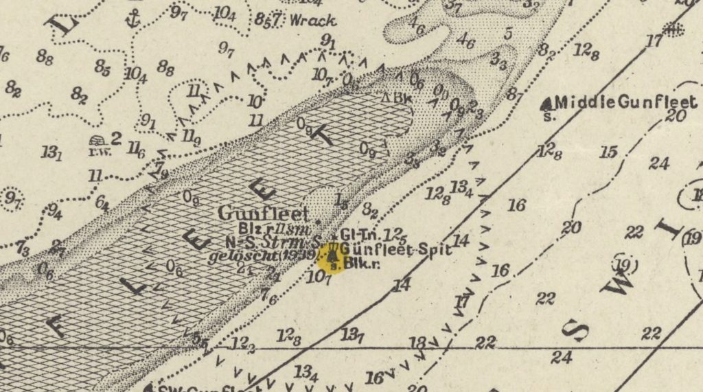
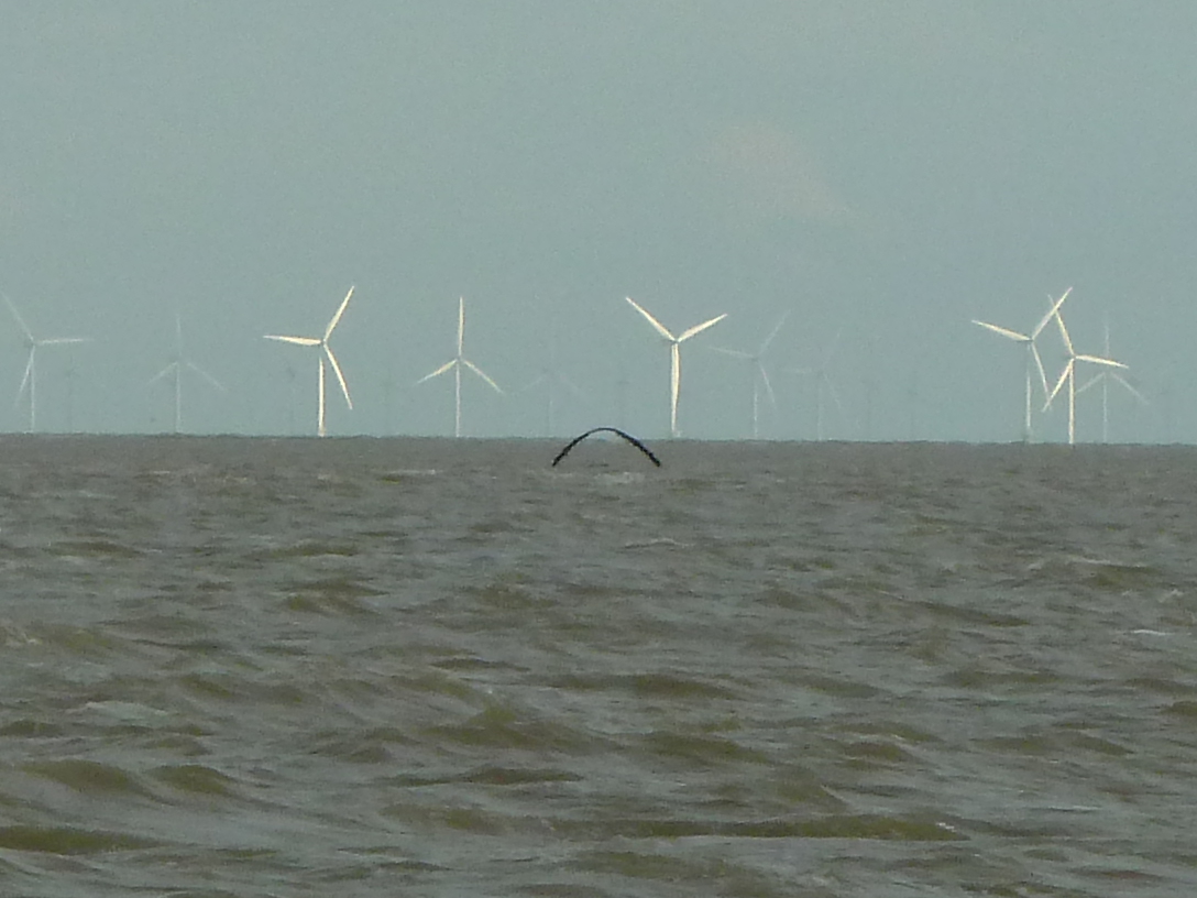
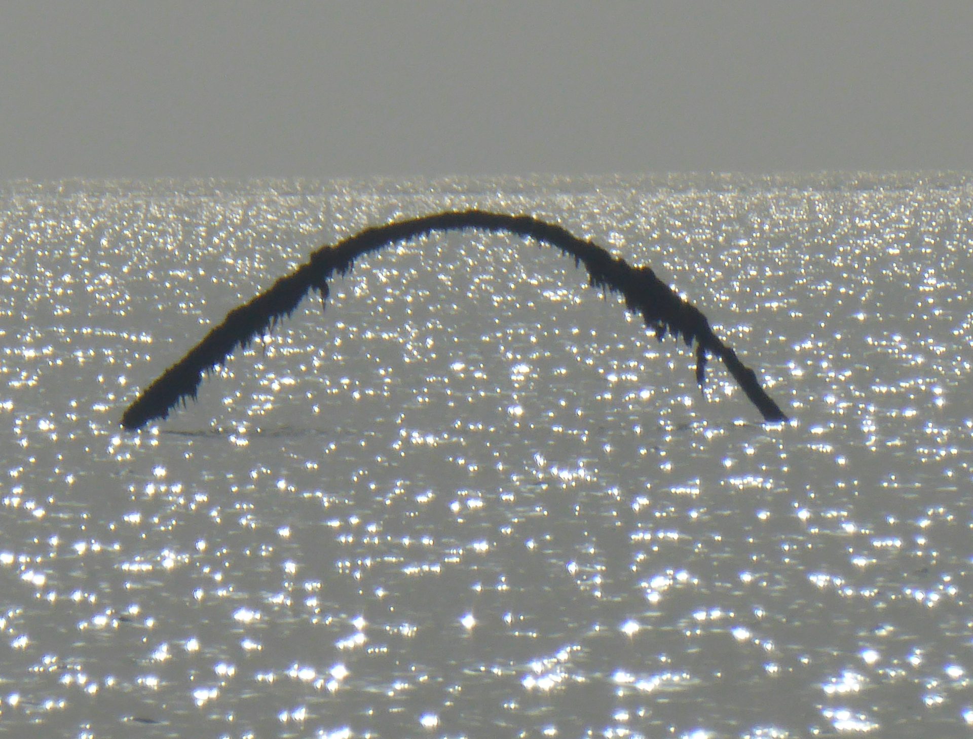
To the west of the Old Light House, a beacon is marked on modern charts, about 1.2M NNE of the Old Lighthouse, as ‘Ruins awash at HW’. Charts between 1801 and 1907 do not show anything in that position, only a beacon and later lighthouse on the Eastern side. There is a beacon marked at that position on the 1943 and 1954 Admiralty Charts.
This photograph was taken at roughly that location. A follow-up visit a decade later gave a better view. It may be a metal support that has fallen into a curved shape, although the curve does look intentional.
Sources
Footnotes
- 1
- 2Trinity House Plan of Lighthouse – Trinity House History: Image (wordpress.com)
- 3According to Gunfleet Lighthouse – Wikipedia he lighthouse was still listed as active in 1946 but appears to have been decommissioned by 1951
Image Sources and Credits
- 1
- 2Trinity House Plan of Lighthouse – Trinity House History: Image (wordpress.com)
- 3According to Gunfleet Lighthouse – Wikipedia he lighthouse was still listed as active in 1946 but appears to have been decommissioned by 1951
