Also see Gunfleet Old Light House and Beacon.
Gunfleet Sand is a hard shingle bank extending from the Buxey Sand and running northeast towards a few miles off the Naze: it partially dries at Low water. Goldmers Gat separates it from the West Rocks to the north. The Swin Spitway at the south end separates it from the Buxey. The Kings Channel (aka East Swin) is to the east and The Wallet is to the west. There is a slow drift of sand to the northeast so Gunfleet ‘Spit’ is a hazard. Today, the NE Gunfleet buoy marks the King’s Channel/East Swin channel and Wallet No.2 the Wallet: a bearing on the Naze Tower is useful to clear the head of the sand.
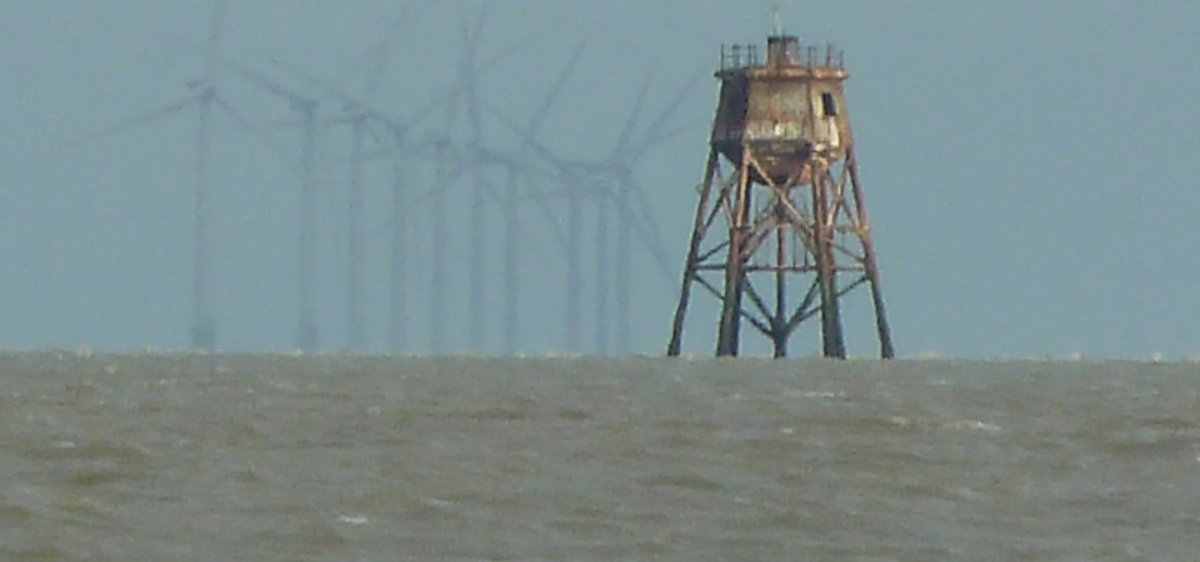
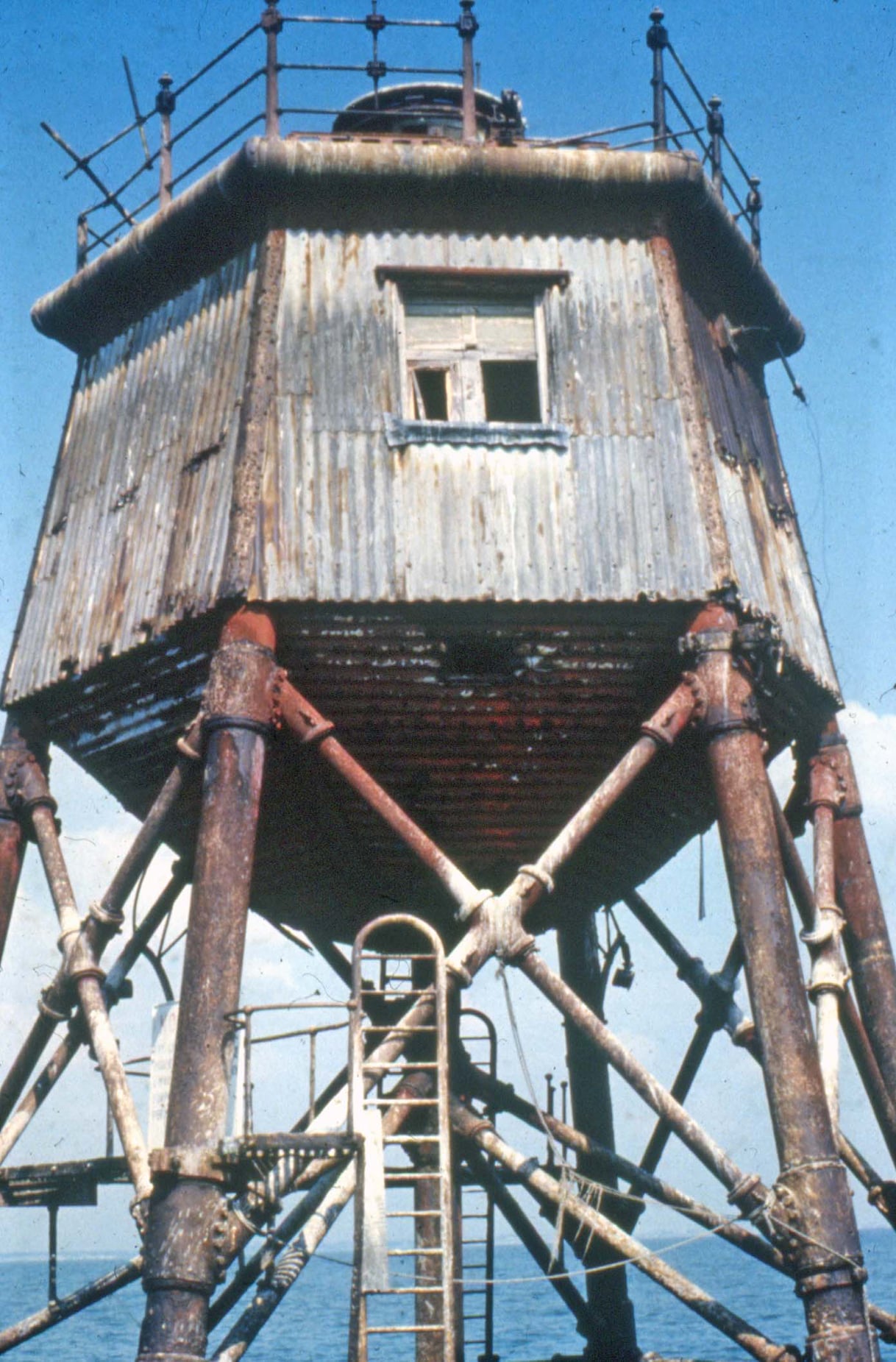
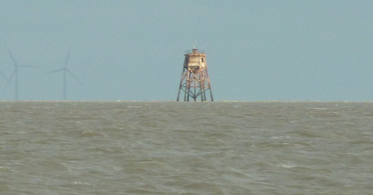
As well as the modern wind farm, built in the 2000s the sand features Gunfleet Old Light House and Beacon. The Spitway (once called the ‘spits’) at the southern end, is passable only to smaller vessels, the Wallet is generally shallow.
An early mention of it was in 1320 when a vessel was shipwrecked on ‘Gunfletsond’1 See VCH and a 1584 map in the British Library which marks both the ‘Gonflet haven’ (the Wallet or Holland on Sea perhaps) and the ‘ye gonflit’ (the sandbank)2 See VCH . That a sandbank is named ‘fleet’ is odd since this generally describes an expanse of water upon which a vessel may float. The following is a possible derivation of the name, which appears to have nothing to do with either guns or fleets of ships.
“There can be little doubt that Gunfleet is a corruption of Gunna-jleot, the fleet of Gunna, taking its name from the old Saxon. In The History of English Surnames Weekley points out that the name Gunn is from Gunna and that the word “gun” is modern. So it is clear that ”gun” in such a word as Gun fleet can have no connection with firearms. Many sands take their name from some physical feature of the adjacent shore, so that we are justified in concluding that the Gunfleet is called after this ancient haven.
Muir Evans, Harold. ’. Mariners Mirror, 1930. 3Muir Evans, Harold. ‘SANDS, GATS and SWATCHWAYS between HARWICH and the NORE’. Mariners Mirror, 1930.
Another explanation is:
“An alternative suggestion that has been made is that the first part of the name could be a corruption from the Count of Guisnes who possessed the manor of Little Holland in 1210”4The Gunfleet Estuary and Holland Haven .
This is, perhaps, at least as convincing:
‘Ganfletsond’ was named in an official document in 1320 and was named for the Gan Fleet, the old name for the Holland Brook which divided Great Holland and Little Holland (Jarvis 1990).
EHS Southwold to Clacton: Gunfleet Sands and Wallet (archaeologydataservice.ac.uk)
A buoy laid in 1628/9 was, apparently, the first in Essex5White, Archie. Tideways and Byways in Essex and Suffolk, 1948. Also mentioned by Alker Tripp. 6Buoy – Gunfleet | Trinity House History (wordpress.com).
The sand dries and there is an interesting account of an 1841 A Walk on Gunfleet Sands:
On approaching, we struck a -walking-stick to the bottom and were surprised to find it very hard: our boat immediately after ran up the side, and we jumped, without difficulty on the bank, now firm and dry. The part of the sand from which the waters had retired, was about half a mile long and a quarter wide: some distance beyond, still surrounded by the waves, we observed the blackened timbers of several wrecks—melancholy memorials of the vessels’ fate.
1851 A Season at Harwich by W H Lindsey

A.C.Stock describes his visit in his boat ‘Sailing Just for Fun’ and tells of the bullet holes from World War Two7See A. C. Stock, Sailing Just for Fun: High Adventure on a Small Budget (Woodailbridge: Seafarer, 2003).
Here is a better photograph taken around 1973:

Notes
Sources
There was more detail on the Victoria Count History site (links lost due to changes on VCH site):
https://www.victoriacountyhistory.ac.uk/explore/items/gunfleet-sands-and-channel
https://www.victoriacountyhistory.ac.uk/explore/items/introduction-holland-haven
Coastal engineering problems at Clacton-on-Sea, Essex
EHS Southwold to Clacton: Gunfleet Sands and Wallet (archaeologydataservice.ac.uk)
Footnotes
- 1
- 2
- 3Muir Evans, Harold. ‘SANDS, GATS and SWATCHWAYS between HARWICH and the NORE’. Mariners Mirror, 1930.
- 4
- 5White, Archie. Tideways and Byways in Essex and Suffolk, 1948. Also mentioned by Alker Tripp.
- 6
- 7See A. C. Stock, Sailing Just for Fun: High Adventure on a Small Budget (Woodailbridge: Seafarer, 2003)
Image Sources and Credits
Image Credits and Sources
- 1973-approx-Gunfleet-Old-Lighthouse-photographer-Nick-Catford: Photographer Nick Catford
- 1
- 2
- 3Muir Evans, Harold. ‘SANDS, GATS and SWATCHWAYS between HARWICH and the NORE’. Mariners Mirror, 1930.
- 4
- 5White, Archie. Tideways and Byways in Essex and Suffolk, 1948. Also mentioned by Alker Tripp.
- 6
- 7See A. C. Stock, Sailing Just for Fun: High Adventure on a Small Budget (Woodailbridge: Seafarer, 2003)
Image Credits and Sources
- 1973-approx-Gunfleet-Old-Lighthouse-photographer-Nick-Catford: Photographer Nick Catford
