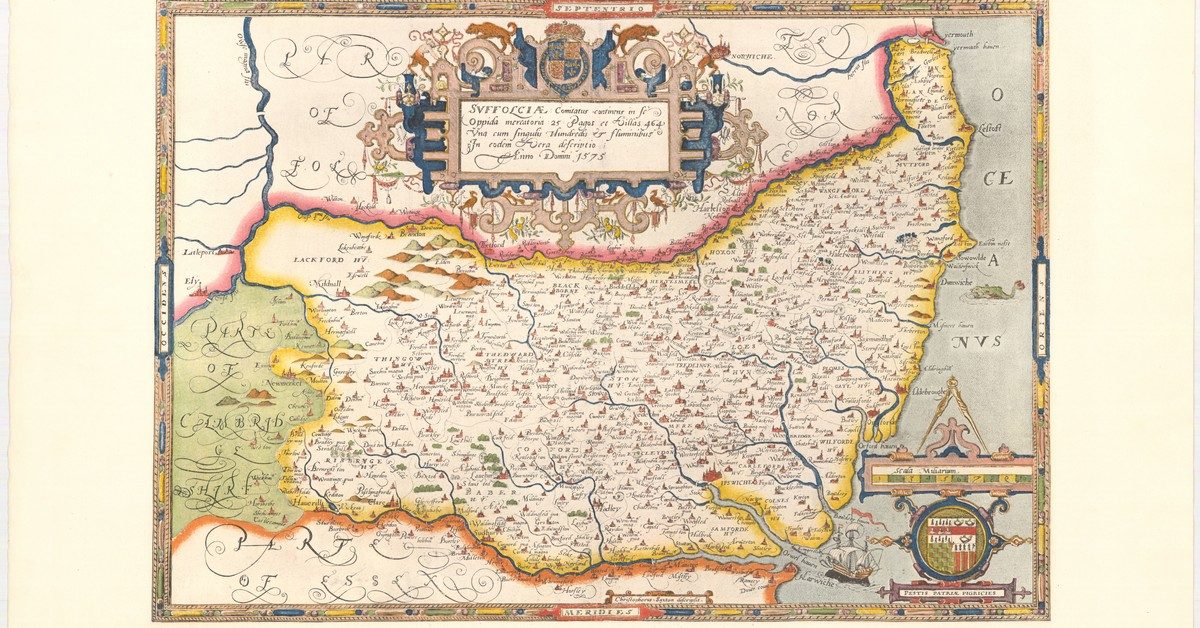
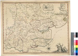
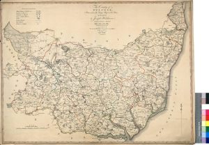
Collected maps, some of high definition on England, Essex and Suffolk. The purpose is largely to assess the changes in the coastline over the centuries. The map of Dunwich is certainly a revalation.
+Sources for Charts, Maps and Images
Ordnance Survey Maps - National Library of Scotland Good source of historical OS and other maps at Vision of Britain ...
0150 Ptolemy’s Geography
This chap spent twenty years translating it only to discover that the source text was useless. In 2017 he found ...
1584 A chart of the east coast of England – Richard Poulter
British Library Copyright but visible in low resolution here. Zoom only works with Flash! A good view of sandbanks but ...
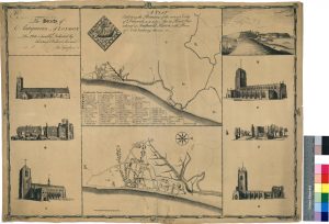
1587 Remains of the antient City of Dunwich
1587 A Plan Exhibiting the Remains of the antient City of Dunwich See Sailing past 1587 Dunwich ...
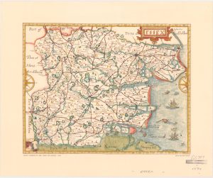
1594 John Norden’s Map of Essex
shows channels at Ramsey, Holland on Sea and lots of other places. Islands at Wallsea, Foulness, channel north of Canvey ...
1635 Mercator Atlas of the World
Includes the first use found of the name Deben and some notes on distances. See here ...
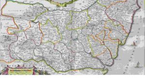
1664 ‘Atlas maior’ by Blaeu
Available here Essex from page 225 followed by Suffolk. In Dutch. This is a description of the country with maps ...

1670s Le Royaume d’Angleterre – James II
This is not dated but probably 1670s or earlier. Best viewed online with zoom. Easton Ness and Gunfleet are interesting ...
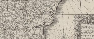
1677 John Adams Map of England and Wales
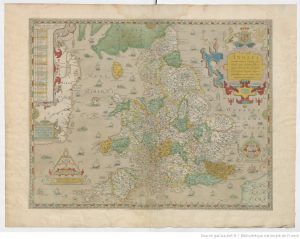
1677 English chart. Best viewed online with zoom. 1677 John Adams England Vintage Maps - excellent selection: If you like ...
1678 Essex by William Morgan
Shows Burnham near the sea, Ray Sand, Landguard fort. Shows marshes between Stour and Blackwater. 1678 William Morgan Essex ...
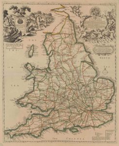
1680 Great Britain Map
Interesting to look at the Essex coast. A new map containing all the citties, market townes, rivers, bridges, & other ...
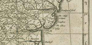
1695 William III Map of England
Similar to Adams map. Best viewed online with zoom. Gunfleet and Havengore are interesting. 1695 William III Map of England ...
1759 Bowen Essex showing Orwell Beacon
Available at high definition at BNF. This shows the Orwell Beacon at Havengore. Did this lead to the Essex Inshore ...
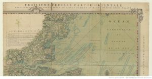
1760 Carte de Cotes Meridionales d’Angleterre
French chart with excellent zoom facility. Presumably based on English charts and maps but gives a very interesting, combined view ...
1815 Arrowsmith Suffolk and Essex
Shows land and sandbanks. High definition. 1815 Arrowsmith Atlas of area from David Rumsey Collection ...
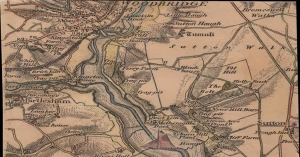
1837 Colby Map of Deben Area
This chart was engraved in The Tower of London at the Ordinance Map Office and published by Colonel Colby on ...
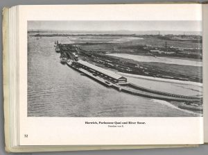
1941 German Maps and Photos of Eastern England
1941 Sudost-England. England Blatt Nr. 12. Militargeographische Objektkarten 1941 Ost-Anglia. England Blatt Nr. 9. Militargeographische Objektkarten 1940 Oberkommando reconnaissance photos ...
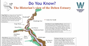
The Historian’s view of the Deben Estuary
On the Woodbridge Riverside Trust website: is An interesting map of the Deben with some historical notes. It has a ...
Image Credits and Sources
- Britannicarum_insularum_typus___ex_…Ortelius_Abraham_btv1b5963751z_1: https://gallica.bnf.fr/ark:/12148/btv1b5963751z/f1.item.zoom | Public Domain Mark 1.0
- Le_Royaume_dAngleterre___divise_…Coronelli_Vincenzo_btv1b10678778c_1: gallica.bnf.fr / BnF | Public Domain Mark 1.0
- Angliae_Totius_Tabula_cum_Distantijs_…Adams_John_btv1b53057201c_1: gallica.bnf.fr / BnF
- 1680-GB-from-UUtrecht-1_cr-smaller: University of Utrecht | CC BY-NC 4.0 International
- A_New_Map_of_the_…Guillaume_III_btv1b5971471b_1: Bibliothèque nationale de France | Public Domain Mark 1.0
- 1760-Carte_des_cotes_meridionales_dAngleterre_…Cocquart_Gabriel_btv1b530106269_12: Bibliothèque nationale de France, département Cartes et plans, | Public Domain Mark 1.0
- 1785-Essex: https://www.omnia.ie/index.php?navigation_function=2&navigation_item=%2F109%2Fhttps___hispana_mcu_es_lod_oai_bvpb_mcu_es_440904_ent0&repid=1 | Public Domain Mark 1.0
- 1787 Suffolk: http://data.europeana.eu/organization/1482250000004671126 | Public Domain Mark 1.0
