Between 1808 and 1812, twenty-nine Martello Towers were built along the coasts of Essex and Suffolk: eighteen still exist, with one over-built (R): eleven have been lost. The sources given below cover the history and current state of the Towers: the objective here is to show, on the overview map, the positions of current towers and the locations of the lost towers.
Tower A remains at Point Clear, St Osyth. Tower B, St Osyth, was only demolished in 1967 to make way for housing. Towers G, H, I and J in Holland on Sea and Walton on the Naze were demolished around 1819 and used as building materials before they were lost to erosion. Tower K is in the Caravan Park at Walton on the Naze and in poor condition.
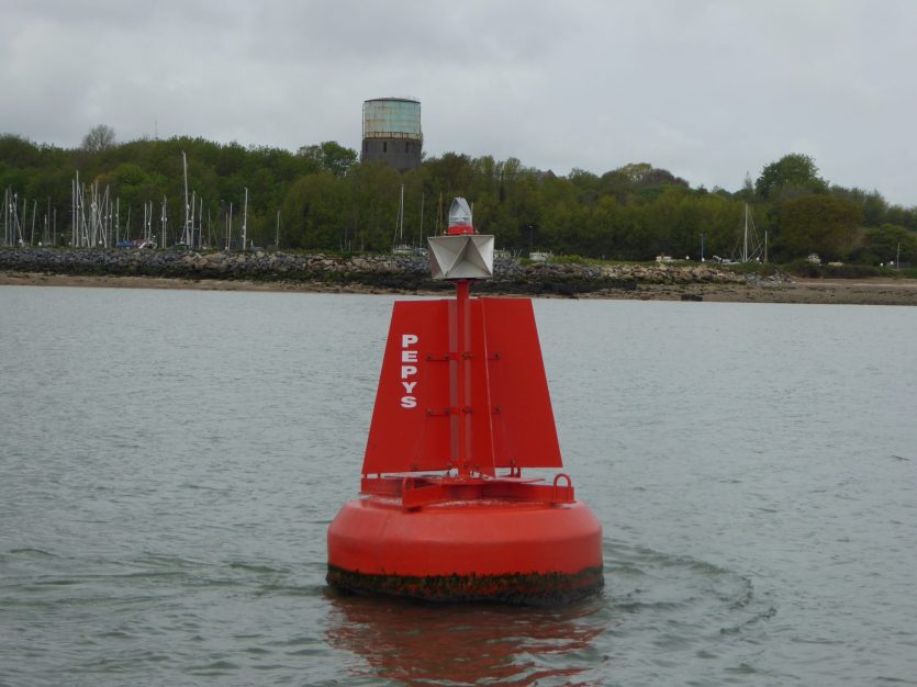
Tower M, not lost but disguised, is clearly visible at Shotley and is slowly being crushed by the water tower on top of it.
Suffolks defended shore coastal fortifications from the air has a good photo of the Walton Battery, Tower N, before the Docks covered it.
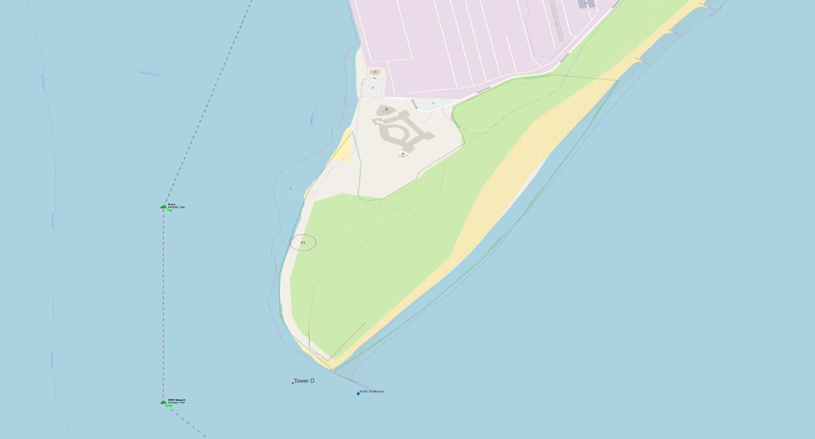
Tower O, south of Landguard Fort and west of Bruff’s Breakwater, was lost to the sea probably in 18381Tower O see An Assessment of the East Coast Martello Towers Author(s): Jonathan Millward, there are no traces.
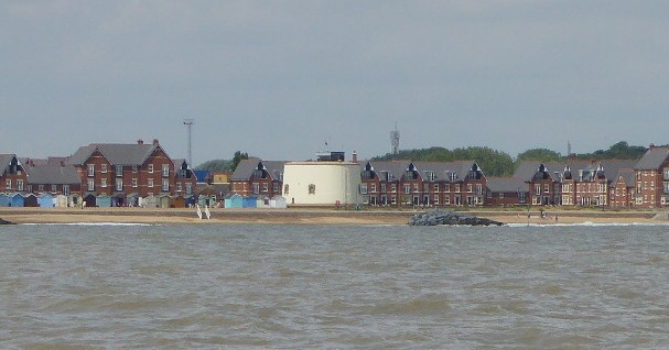
Tower R still exists but has become part of the foundations for the Bartlett Hospital, now apartments. The photograph below shows it just off centre.
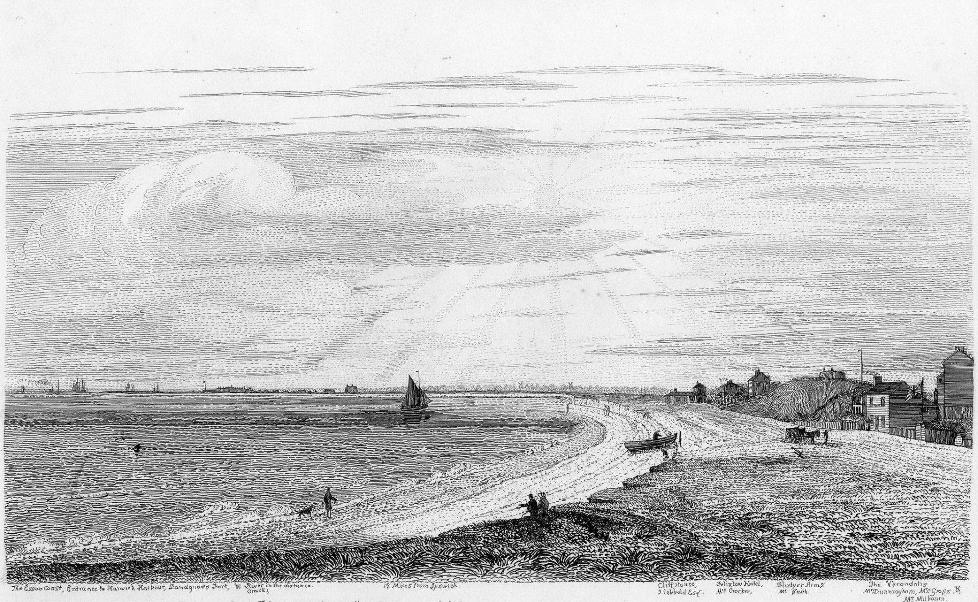
The earlier 1842 drawing gives a view over a wider area, zoom in to the legend at the bottom.
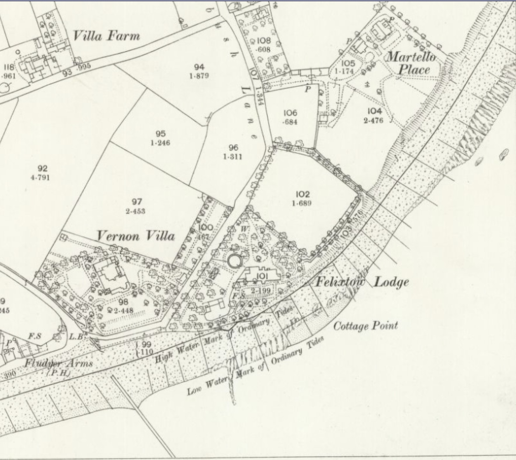
Tower S: there was a nearby property marked Martello Place on the OS map from 1881. The circle in the centre is suggestive of a Martello, although Tower S, near Cobbold’s Point, was lost to the sea in 1835 according to the English Heritage report. Location is on the Tithe map2The position of the tower and the Board of Ordnance lands is shown in aT ithe map from the 1840s (SRO: P461/96).Much of the original land parcel may be seen in modern maps of this site..
Towers T and U are both still standing.
Tower V was mostly demolished but the outline remains in the garden of Bawdsey Manor (to be identified).
Tower W is used as a house.
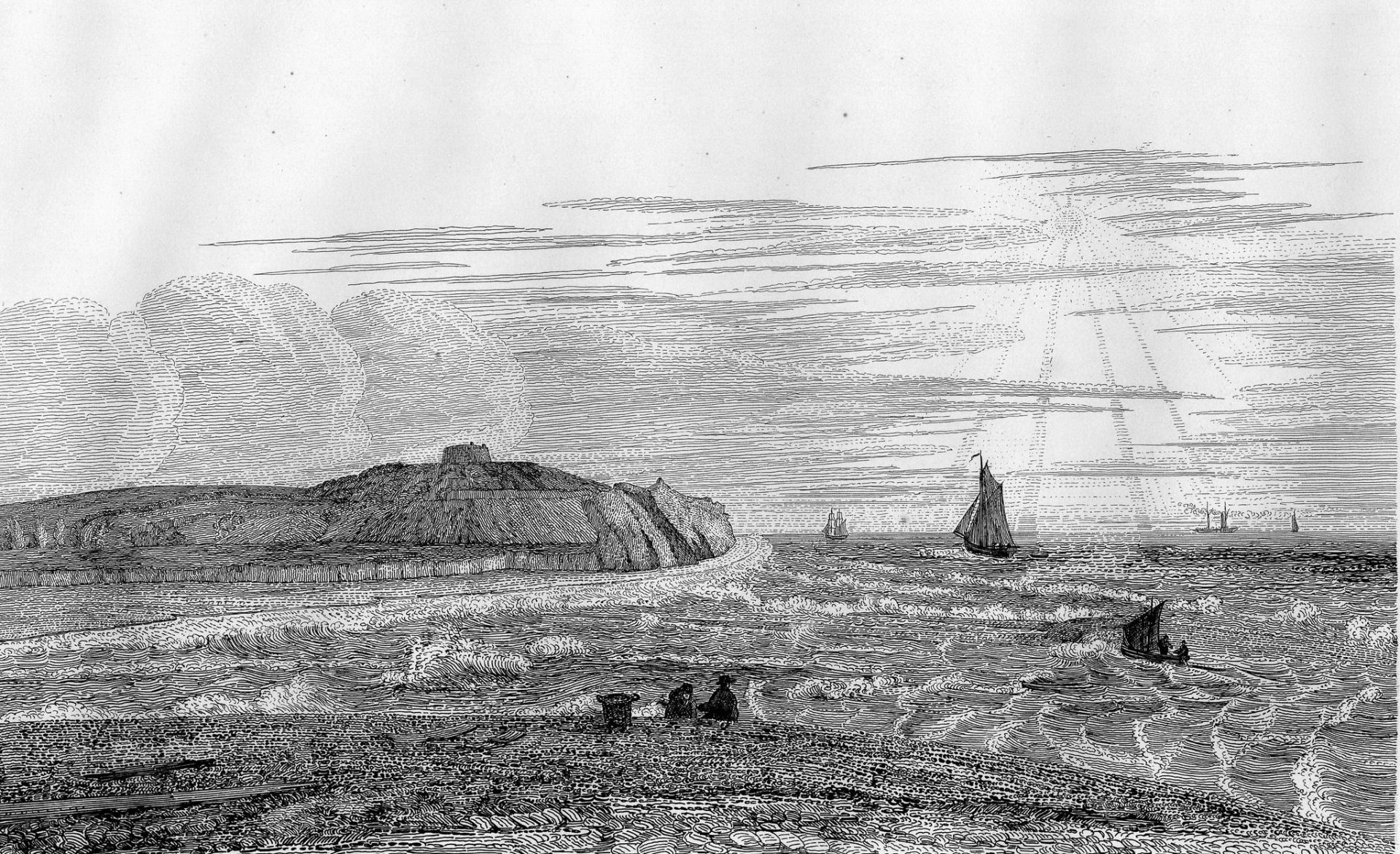
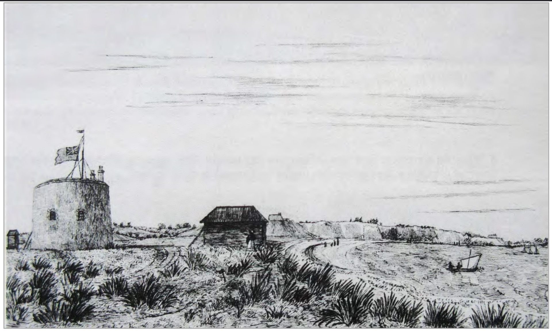
Entrance to the Woolbridge River & Bawdsey Martello Tower, 1842 – by Henry Davy
Tower X was washed away by flooding in 19053Tower X, Sir Cuthbert’s Fight with the Sea – RDA’s Deben Spring 2013. Tower BB on the Ore was demolished in 1822. The quatrefoil tower CC at Slaughden still exists.
Notes
Positions on the map are not quite right, probably due to the conversion between OS Grid and Degrees. Needs checking some time.
Martello Image Collection
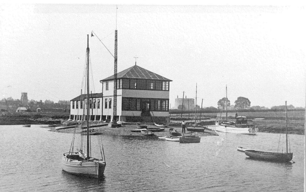
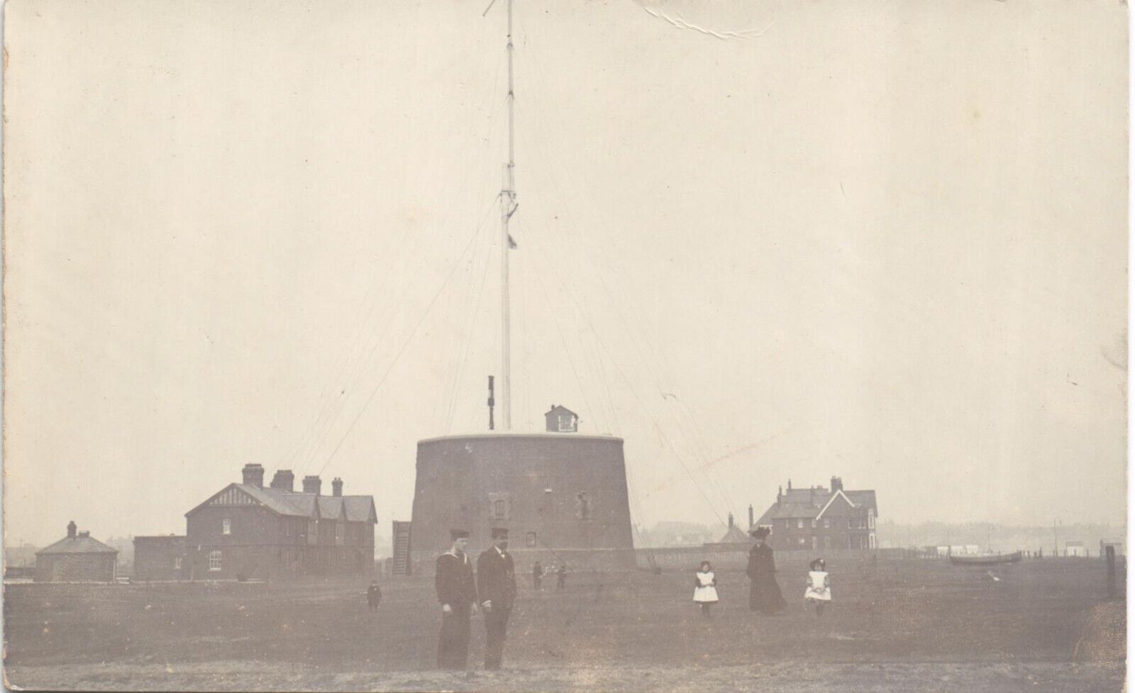
Martello P early twentieth century
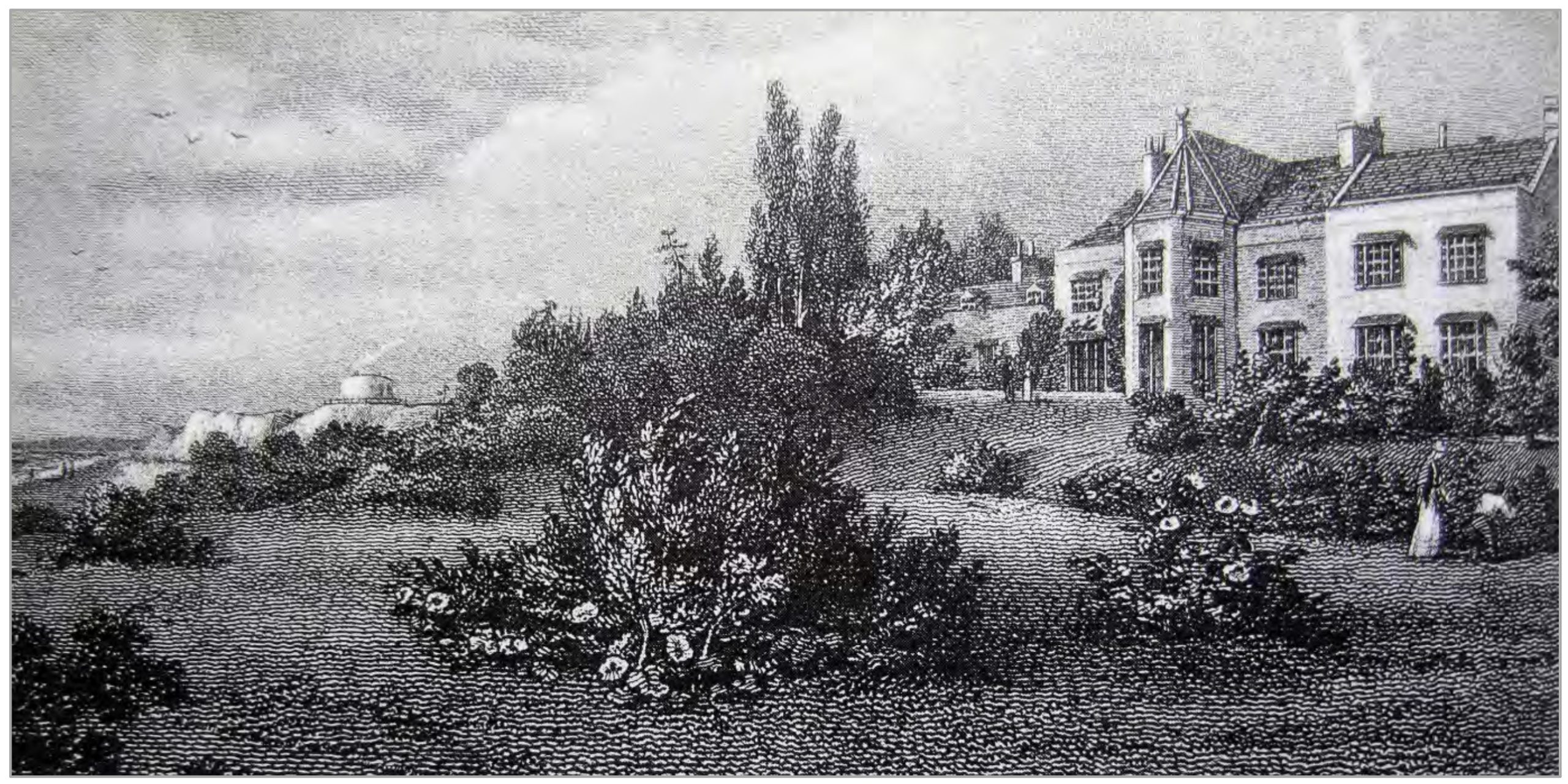
Image from Felixstowe-CAA-Draft-Feb-20.pdf (eastsuffolk.gov.uk)
Sources
“Where have all the (Martello) towers gone”, Ifan DH Shepherd & Steve Chilton
An Assessment of the East Coast Martello Towers Author(s): Jonathan Millward
Suffolk’s Defended Shore Coastal Fortifications from the Air: Cain HegartySarah Newsome
Description and list of locations on geograph.org.uk
Felixstowe-CAA-Draft-Feb-20.pdf (eastsuffolk.gov.uk)
Suffolks defended shore coastal fortifications from the air – very thorough. Good photo of the Walton Battery before the Docks covered it. Worth getting while still free.
Guidebooks – Suffolk Heritage Explorer – worth getting while still free.
Sir Cuthbert’s Fight with the Sea – RDA’s Deben Spring 2013
Footnotes
- 1
- 2The position of the tower and the Board of Ordnance lands is shown in aT ithe map from the 1840s (SRO: P461/96).Much of the original land parcel may be seen in modern maps of this site.
- 3Tower X, Sir Cuthbert’s Fight with the Sea – RDA’s Deben Spring 2013
Image Sources and Credits
Image Credits and Sources
- Pepys PHM in the Orwell 2021 with Shotley Water Tower, Martello M in the background.: Bob C | Public Domain Mark 1.0
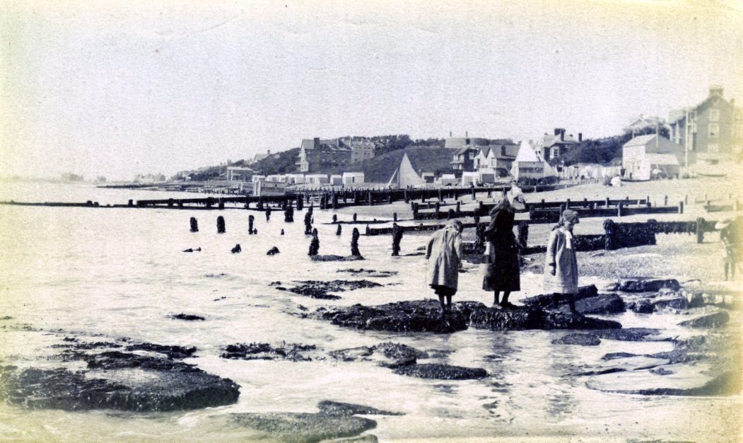
- 1890-Ledge-ex-FB: Rural East Suffolk in Old Photographs FB Group
- 1881-S-from-nls-showing-Martello-Place: 'Reproduced with the permission of the National Library of Scotland' | CC BY 4.0 International
- Martello P: Image from Felixstowe-CAA-Draft-Feb-20.pdf (eastsuffolk.gov.uk)
- 363296171 1082663299391598 2576868227786384509 n: Facebook Rural East Suffolk In Old Photographs - J.M.Smith
- Martello R: Image from Felixstowe-CAA-Draft-Feb-20.pdf (eastsuffolk.gov.uk)
- 1
- 2The position of the tower and the Board of Ordnance lands is shown in aT ithe map from the 1840s (SRO: P461/96).Much of the original land parcel may be seen in modern maps of this site.
- 3Tower X, Sir Cuthbert’s Fight with the Sea – RDA’s Deben Spring 2013
Image Credits and Sources
- Pepys PHM in the Orwell 2021 with Shotley Water Tower, Martello M in the background.: Bob C | Public Domain Mark 1.0
- 1890-Ledge-ex-FB: Rural East Suffolk in Old Photographs FB Group
- 1881-S-from-nls-showing-Martello-Place: 'Reproduced with the permission of the National Library of Scotland' | CC BY 4.0 International
- Martello P: Image from Felixstowe-CAA-Draft-Feb-20.pdf (eastsuffolk.gov.uk)
- 363296171 1082663299391598 2576868227786384509 n: Facebook Rural East Suffolk In Old Photographs - J.M.Smith
- Martello R: Image from Felixstowe-CAA-Draft-Feb-20.pdf (eastsuffolk.gov.uk)
