The current (2021) buoys in the area mark the Roughs Tower and not the shoal.
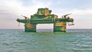
The shoal itself is around 7.5nM from the Naze and 6.5nM from Landguard Point and a little to the West of HM Fort Roughs Tower which is not actually on the shoal.
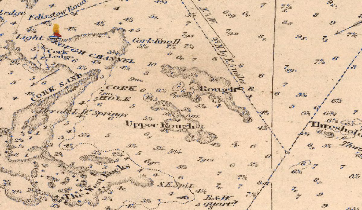
Rough Shoals were first buoyed in 1776 according to Arnott but not found on charts until 1794.
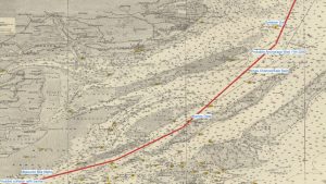
No mention is found in Pilot books until modern times although the shoal would have been a hazard to larger ships. It may be named due to rough water caused by depth changes in the seabed although this has not been observed by the author, who would try be ashore in such conditions. The 1845 Chart shows Rough, Upper Rough and the Rough Channel. On a modern chart Lower (North) and Upper (South) Rough are shown.
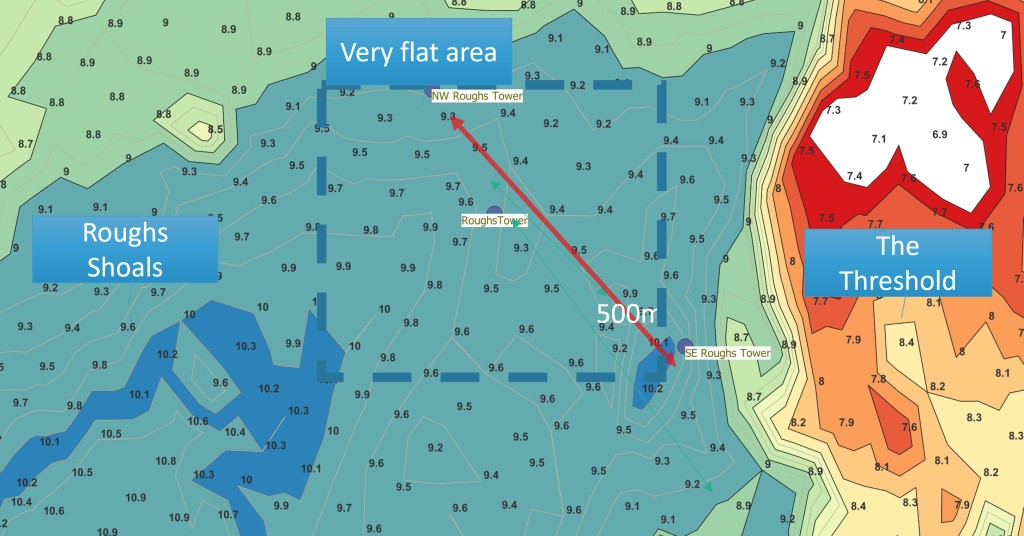
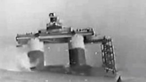
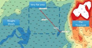
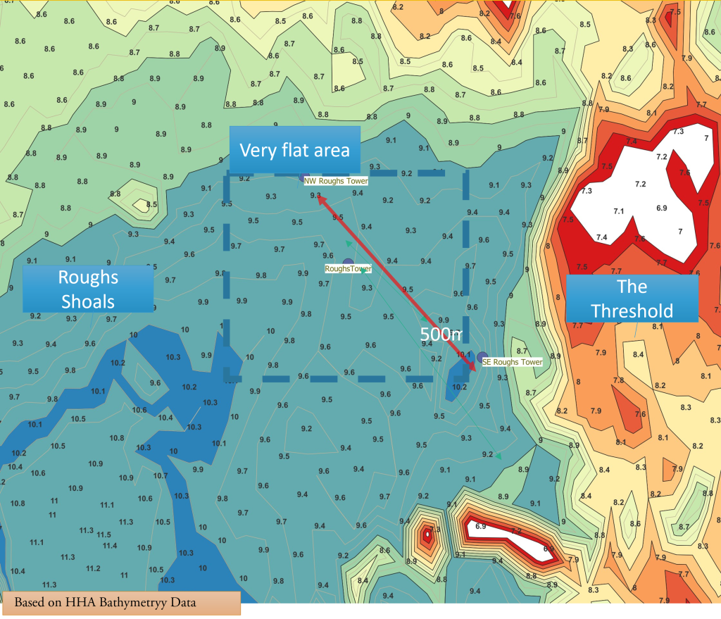
Roughs Tower was grounded near, but not on, Rough Shoals in 1942. In the selected area to the east of the shoals, the seabed is sand and pebbles. In this diagram, the distance between the buoys is 500m and the contours are reduced to 0.2m or 8″ showing the area around the fort in light blue. Unlike the Roughs Shoals to the west and Threshold to the east, the site is very smooth indeed. The bottom is flat with a slope of much less than 1 in 100 as shown by the spot depths on modern bathymetry.
A Good Choice
The area was a good choice as it was a hazard to shipping, so it was avoided; indeed, there are a few WWII wrecks on the adjacent Threshold that offer an excellent rummage dive in shallow water. Whilst the Threshold Shoal would have offered a shallower deployment site, the steep slope would have made it likely that the fort would not have settled level.
The Rough Buoy was sunk after being hit by a vessel in 1987 and the remains lie on the seabed at 9m.
More on Roughs Tower:
Image Credits and Sources
- : 1852 James Imray
- : Based on Harwich Haven Authority Bathymetry
