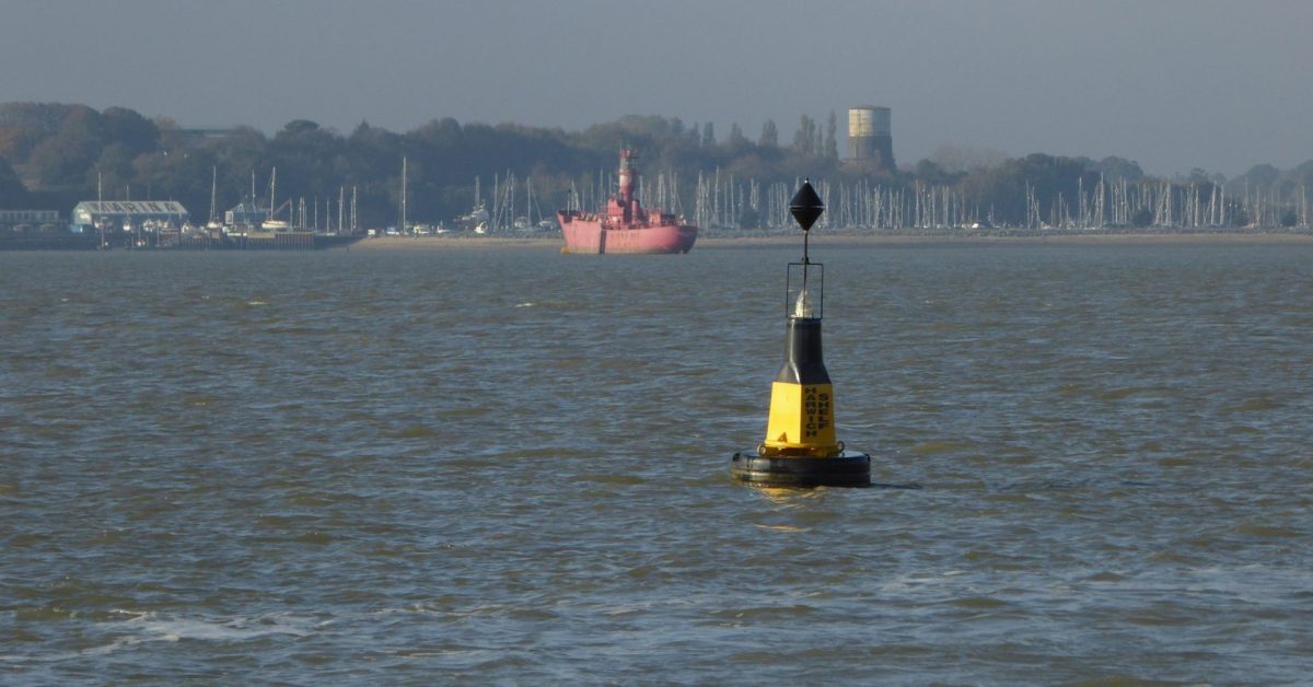
There is a ‘Bloody Point’ on the Orwell at Shotley. The Stour runs due west here and the Orwell northwest, so the logic which applies to the naming of Bloody Point on the Deben does not apply. It is reputedly named for a battle where the Danish fleet met King Alfred1See Pastscapes. One account2Battle – Roberts, Bob. A Slice of Suffolk. Lavenham [Eng.]: T. Dalton, 1978 tells of Guerth, responsible for defending the Shotley Peninsula, who lured the Danes into an ambush by King Alfred’s soldiers who were concealed behind the hill at Shotley. Guerth blocked their retreat with his ships and slaughter ensued.
In the seventeenth century, there was a beacon here3Beacon on 1686 Greenvile Collins chart, probably to mark the narrow entrance channel and avoid the Altar shoal.
The Shotley water tower sits on top of and is squashing, Martello Tower M. There is Tower L just to the west and, once, Towers N sat on the Suffolk shore which is now the Docks and Tower O, lost to the sea.
Just to the north is Stone Heaps so-called because in the era of Cement Stone mining the stone was stored there for collection. supposedly some of it was laid to make a hard, or walkway, to shore4Bob Roberts. This was a frequent overnight stop for sailing barges from Ipswich and Mistley: they could take the ebb to this point, anchor, and spend a sheltered night prior to using the southbound flood.
Footnotes
- 1See Pastscapes
- 2Battle – Roberts, Bob. A Slice of Suffolk. Lavenham [Eng.]: T. Dalton, 1978
- 3Beacon on 1686 Greenvile Collins chart
- 4Bob Roberts
Image Sources and Credits
- 1See Pastscapes
- 2Battle – Roberts, Bob. A Slice of Suffolk. Lavenham [Eng.]: T. Dalton, 1978
- 3Beacon on 1686 Greenvile Collins chart
- 4Bob Roberts
