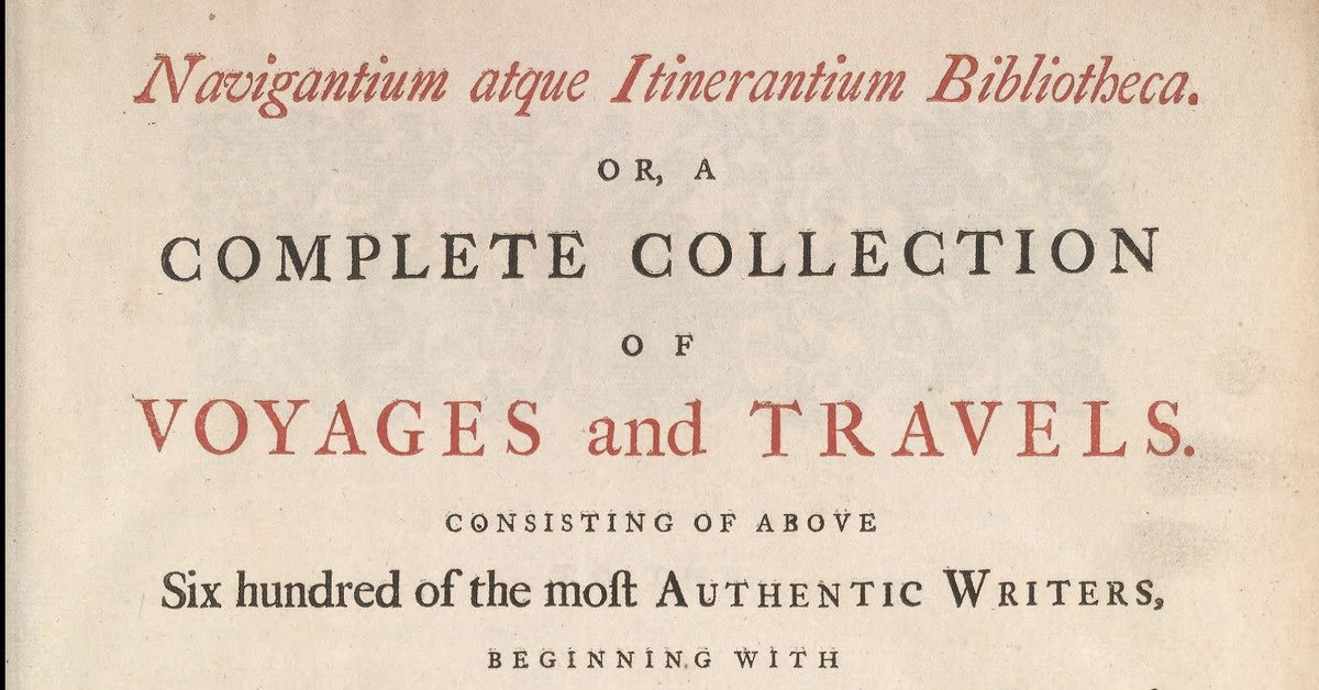
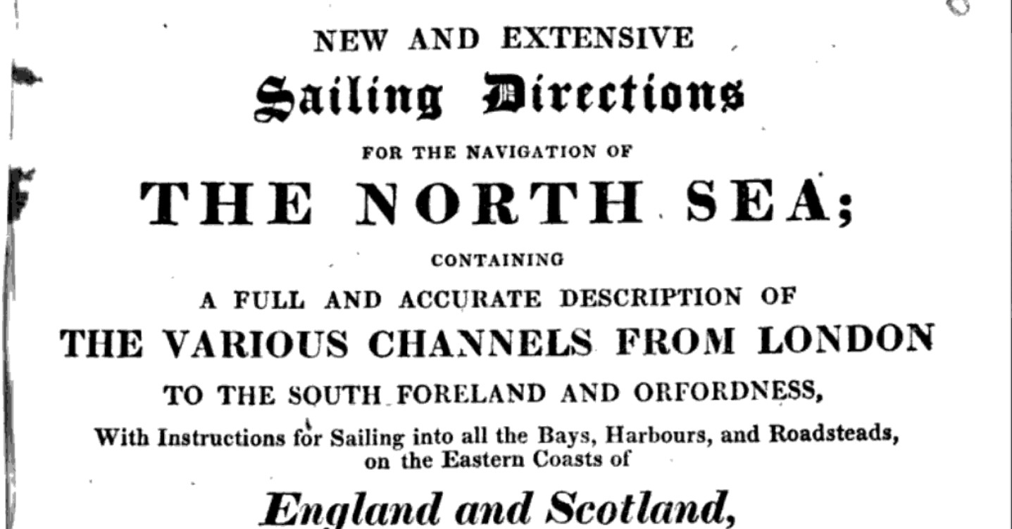
A selection of old pilot guides ranging from the twelfth century to the twentieth. Where possible the section related to local waters is extracted.

1574 A regiment for the Sea – William Bourne
1574 A regiment for the sea William Bourne - about navigation techniques, not a pilot ...
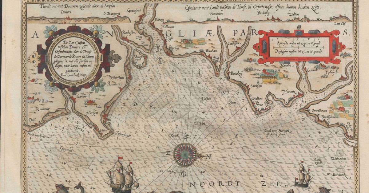
1583 Janszoon Waghenaer’s Spieghel der Zeevaerdt
Available here in medieval Dutch. Illustrations are superb. There are instructions for building and using a backstaff as well as ...
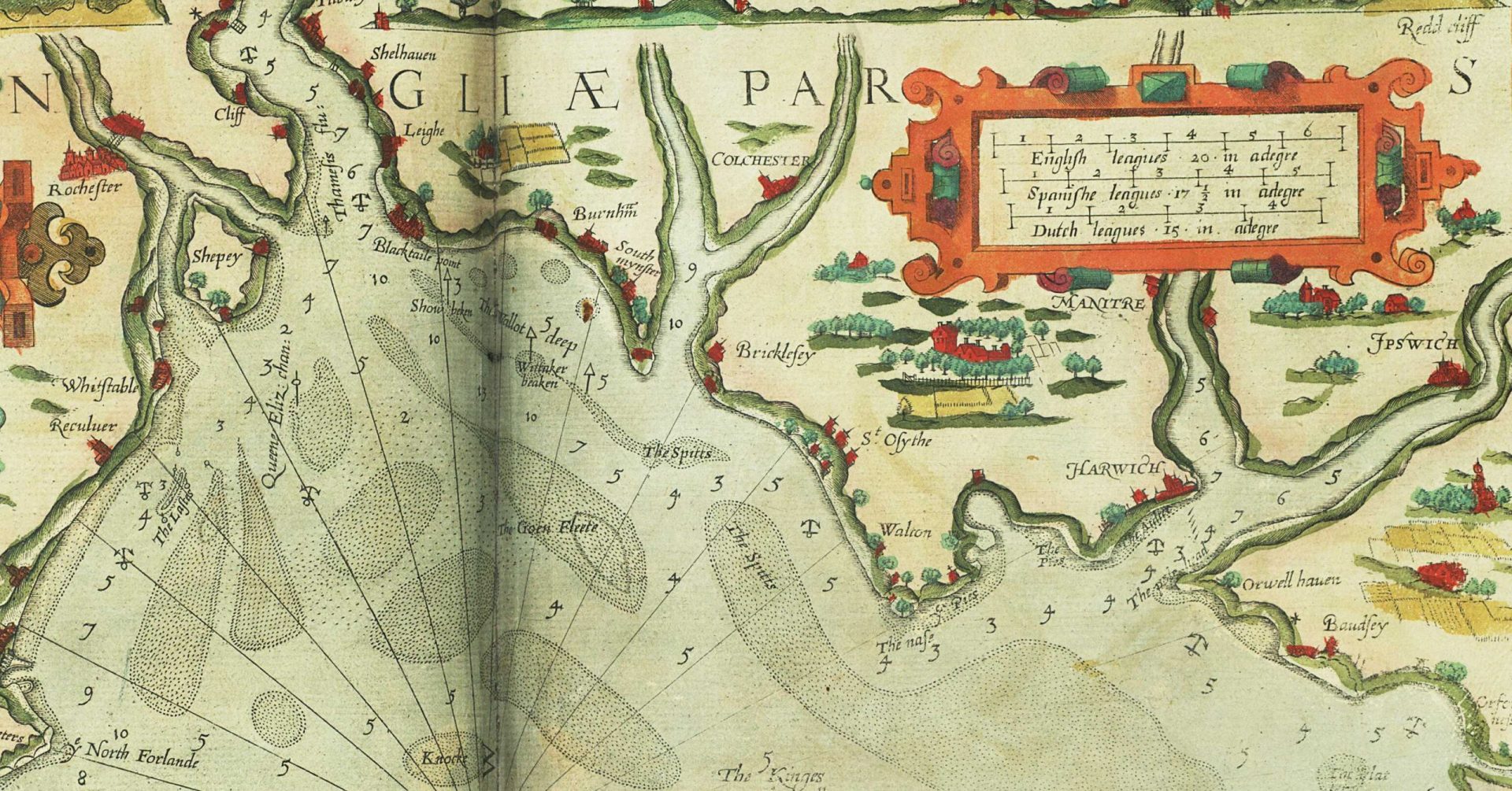
1588 Mariner’s Mirrour
This was initially a translation of Spieghel der Zeevaerd published by Waghenaer. For some time they were known as 'Waggoners" ...
15th Century, Hakluyt Local Sailing Directions
From a MS belonging to Sir John Paston, transcribed for the Hakluyt Society. Date is sometime mid 15C, say 1450 ...
1635 Mercator Atlas of the World
Includes the first use found of the name Deben and some notes on distances. See here ...
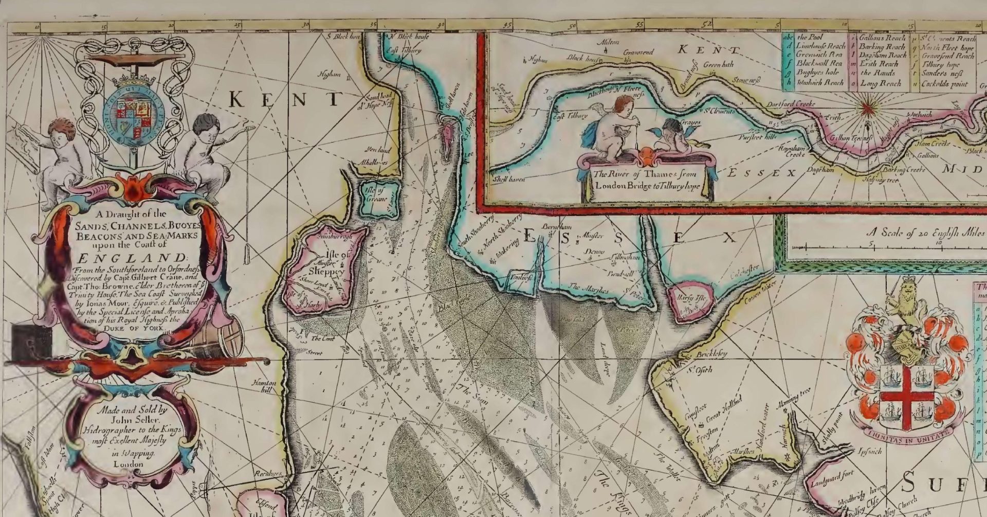
1672 John Seller Atlas maritimus
See page 32 for Estuary. Other charts are of rest of World. Available here. Atlas maritimus, or A book of ...
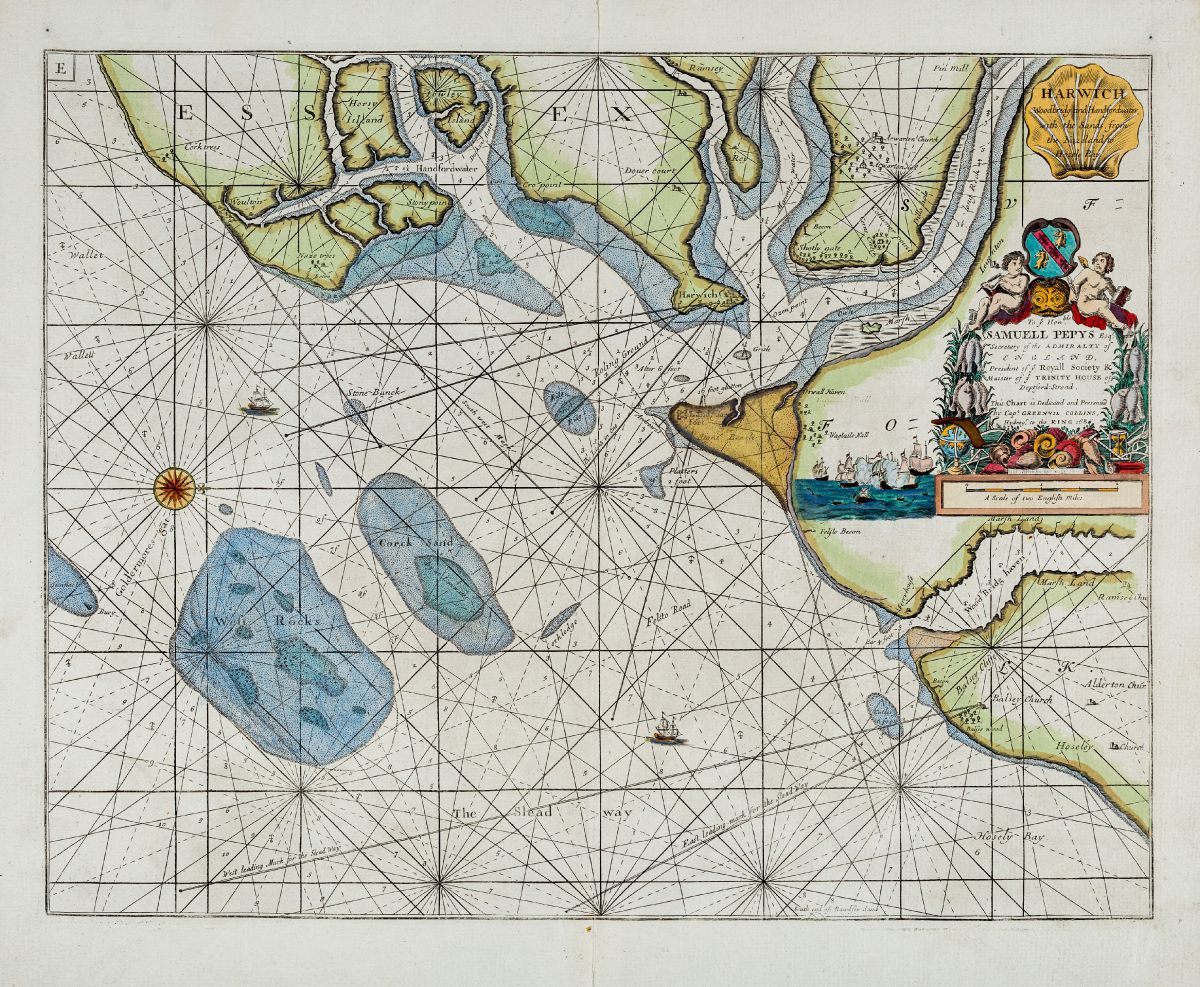
1693 Greenvile Collins – The Coasting Pilot
Great Britain's coasting pilot: Being a new and exact survey of the sea-coast of England and Scotland, from the river ...
1788 Moore’s Coaster’s Companion
The Coaster's Companion, Containing Directions for the Downs, for Sailing and Turning Thence, Thro' the Different Channels, to the Nore; ...
1807 William Heather – The New British Channel Pilot
1807 W Heather The New British Channel Pilot. Containing Sailing Directions from London and Yarmouth to Liverpool, and from Ostend ...
1817 Norie Sailing Directions Nore to Orfordness
Sailing directions for the river Thames, from London, to the Nore and Sheer... - Google Books Extract THE SWIN AND ...
1823 New and Extensive Sailing Directions for the Navigation of the North Sea
1823 New and Extensive Sailing Directions for the Navigation of the North Sea (google books) ...
1844 Coasters Guide
1844 Coasters Guide (google books) The improved coaster's guide, and Marine board examination, for the east coast of England and ...
1847 Sailing directions for the river Thames, from London…Norie
Sailing directions for the river Thames, from London, to the Nore and Sheerness, and thence to Rochester, in the river ...
1885 Dickens Thames Dictionary
Charles Dickens featured the Thames in many of his works. As part of his research he described features along the ...
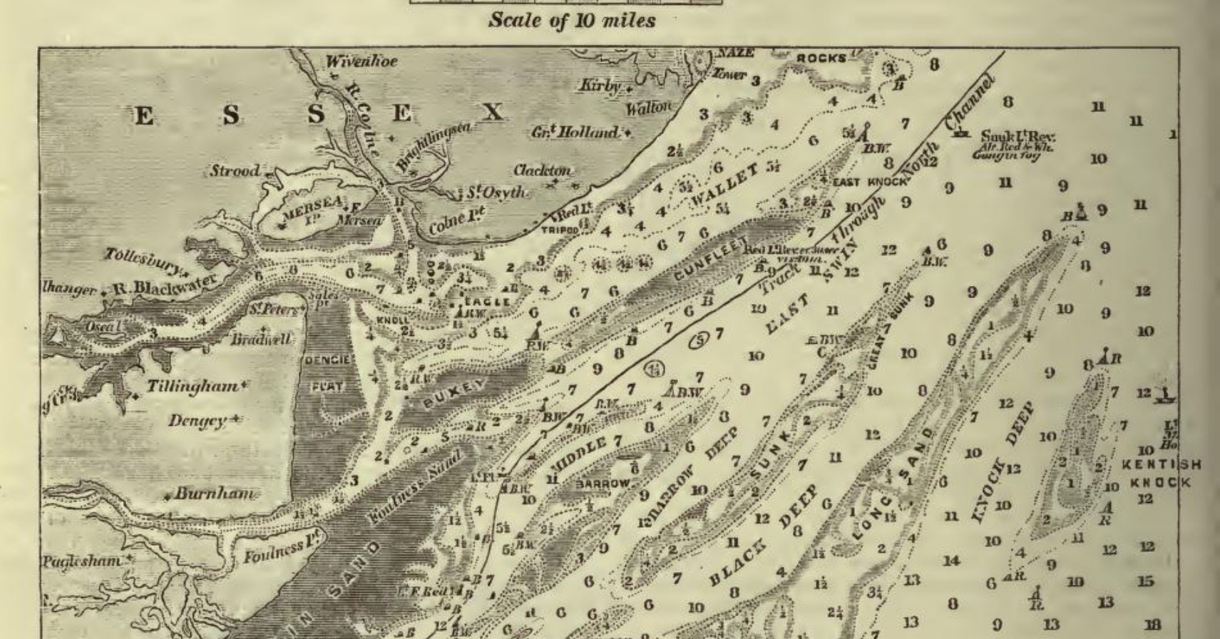
1890 Thames Estuary Survey by Tizard – extract
Chart from Tizard, T. H. (Thomas Henry). The Thames Estuary. 1890 Full 1890 paper in Nature ...
1892 – The Coasts of Essex and Suffolk by Frank Cowper – Extract Harwich area
Page 96 FROM THE COLNE TO HARWICH. ...Trinity House. This serves as a land-mark, but will not be of any ...
1894 The Thames Estuary: its tides, …
The Thames Estuary: its tides, channels, ports and anchorages. A practical guide for yachts, coasters and small vessels. With a ...
1915 USNO England East Coast Pilot Harwich extract
Google Books Has a good description of shoals. Shows SHMs such as Cutler being Red Cones. Some good Middle Ground ...
1945 The Pilots Guide to the Thames Estuary …
The Pilots Guide to the Thames Estuary and the Norfolk broads for yachtsmen by w. eric wilson d.s.o & douglas ...

More Thames Estuary Charts and Pilots
See also Thames River Charts, Deben Entrance Charts and Pilots and Harwich Haven Charts and Pilots 1688/9 Halley's Survey presented ...
