This chap spent twenty years translating it only to discover that the source text was useless. In 2017 he found that somebody else had done job – Geographia e codicibus recognovit, prolegomenis, annotatione, indicibus, ta… – Google Books
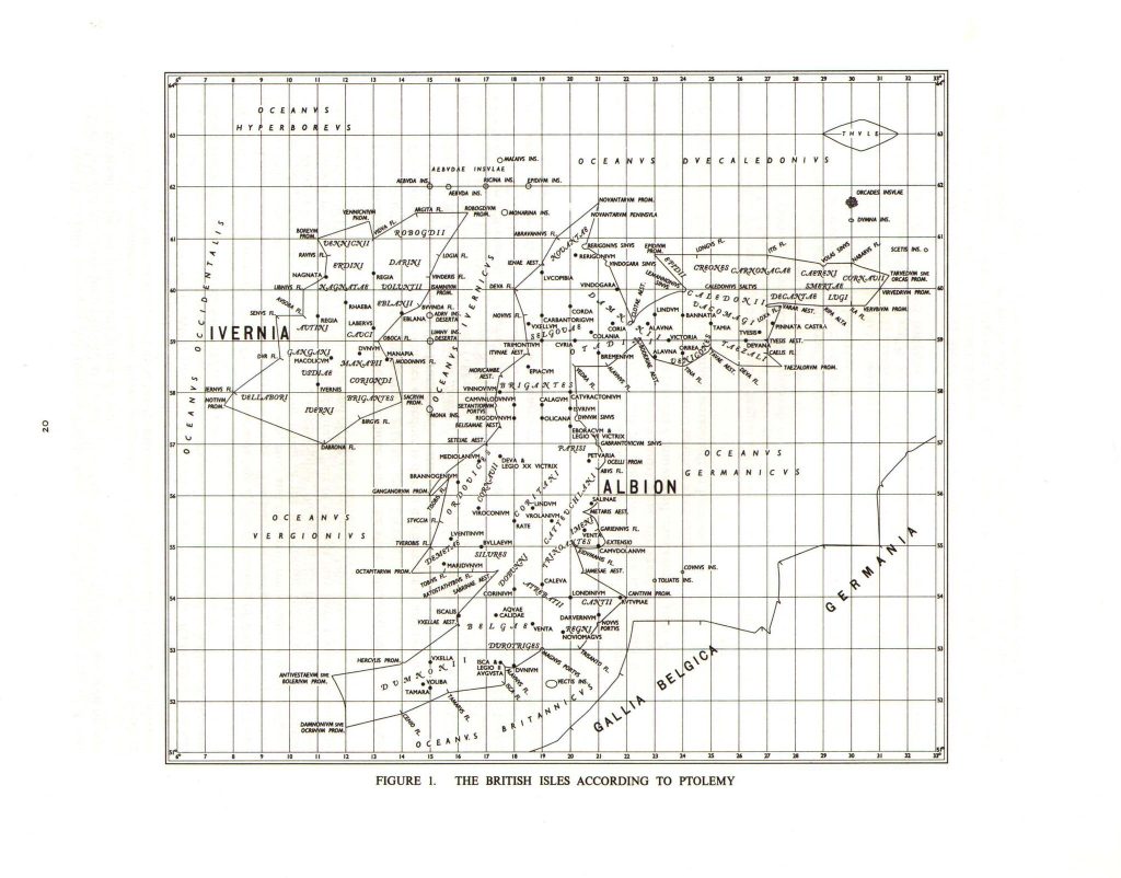
The earliest useful found is the Geography of Claudius Ptolemy which mentions a promontory that seems to be, adjusting the latitude, near Orford Ness. – See this site. – Extract of local area (probably useless, see above).
| mouth of the Abi river | 21*00 | 56°30 | |
| Metaris estuary | 20*30 | 55°40 | River Ouse – Wash |
| mouth of the Gariennus river | 20*50 | 55°40 | Waveney/Yare? 1Gariennus probably Yare p65 Johnson, Stephen. The Roman Forts of the Saxon Shore. Elek, 1976. Yarmouth is 52 35′ |
| A promontory | 21*15 | 55°05 | 52 05’N is roughly Orford Ness |
| mouth of the Sidumanis river | 20*10 | 55°00 | This says Blyth but does not fit with the above. 30M N of Thames is roughly Orwell/Stour at 52 0′ N. This site unsure. Might be Blackwater? |
| Tamesa estuary | 20*30 | 54°30 | Thames is about 51 30′ N |
| Next to this the Cantium promontory | 22*00 | 54°00 |

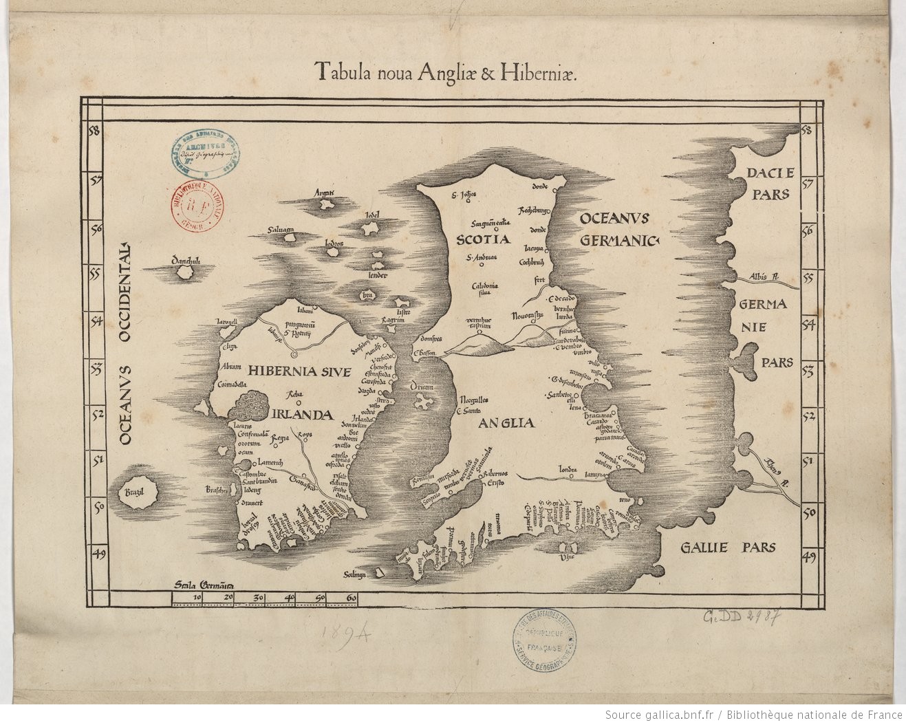
This version of Ptolemey’s map shows the ‘extensio’ in an area that could well be Harwich and the Naze.

This paper is relevant: CLAUDIUS PTOLEMY: FALSIFICATION, REGIMENTATION OR SYMMETRY: An investigation into the form of Britannia and the Turning of Scotland whilst maintaining the Latitudinal and Longitudinal co-ordinates.
- 1Gariennus probably Yare p65 Johnson, Stephen. The Roman Forts of the Saxon Shore. Elek, 1976.
Image Credits and Sources
- Tabula_nova_Angliae_amp_Hiberniae_…Ptolemee_Claude_btv1b53056735z_1: https://gallica.bnf.fr/ark:/12148/btv1b5963751z/f1.item.zoom | CC0 1.0 Universal