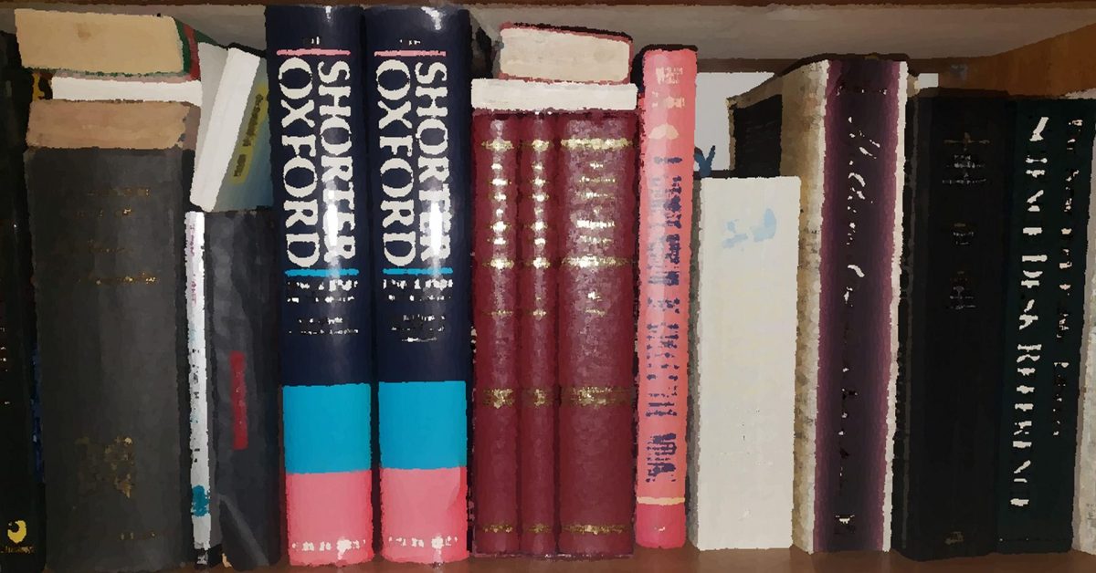
Some suggestions for reading about the area plus links to a number of older books available for free online. Also links to reference information.
*Historical Thames Estuary, Essex, Suffolk
Here is a selection of reference sources. Needs to be sub-divided. General The Anglo Saxon Chronicle text. There are other ...

+Sources – Maritime and 17th Century Reference
Needs sorting out Navy Age of Nelson. including Ships of the Old Navy Three Decks - ships and men The ...
+Sources for Charts, Maps and Images
Ordnance Survey Maps - National Library of Scotland Good source of historical OS and other maps at Vision of Britain ...
0150 Ptolemy’s Geography
This chap spent twenty years translating it only to discover that the source text was useless. In 2017 he found ...
15th Century, Hakluyt Local Sailing Directions
From a MS belonging to Sir John Paston, transcribed for the Hakluyt Society. Date is sometime mid 15C, say 1450 ...
1736 Greenvile Collins Chart of part of coast of England
Available at David Rumsey Collection. Note Gunfleet, Walfleet, Easton Ness. also see 1683 Greenvile Collins chart of Harwich Haven – ...
1788 Moore’s Coaster’s Companion
The Coaster's Companion, Containing Directions for the Downs, for Sailing and Turning Thence, Thro' the Different Channels, to the Nore; ...
1817 Norie Sailing Directions Nore to Orfordness
Sailing directions for the river Thames, from London, to the Nore and Sheer... - Google Books Extract THE SWIN AND ...
1823 New and Extensive Sailing Directions for the Navigation of the North Sea
1823 New and Extensive Sailing Directions for the Navigation of the North Sea (google books) ...
1841 A Walk on Gunfleet Sands
From: 1851 A Season at Harwich by W.H.Lindsey - there is also discussion of the channel passing north of Landguard ...
1844 Coasters Guide
1844 Coasters Guide (google books) The improved coaster's guide, and Marine board examination, for the east coast of England and ...
1851 A Season at Harwich by W H Lindsey
Good section on Gunfleet Sands. A Season at Harwich by W H Lindsey Download from iArchive ...
1885 Dickens Thames Dictionary
Charles Dickens featured the Thames in many of his works. As part of his research he described features along the ...
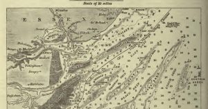
1890 Thames Estuary Survey by Tizard – extract
Chart from Tizard, T. H. (Thomas Henry). The Thames Estuary. 1890 Full 1890 paper in Nature ...
1892 – The Coasts of Essex and Suffolk by Frank Cowper – Extract Harwich area
Page 96 FROM THE COLNE TO HARWICH. ...Trinity House. This serves as a land-mark, but will not be of any ...
1910 Norfolk and Suffolk Coast Guide by W.A. Dutt
Norfolk-and-Suffolk-Coast-guideDownload Lots of coastal history, some of it a bit doubtful but it is a good read. The book has ...
1915 USNO England East Coast Pilot Harwich extract
Google Books Has a good description of shoals. Shows SHMs such as Cutler being Red Cones. Some good Middle Ground ...
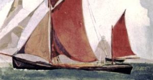
A Floating Home and Born Afloat
This book, of local interest, is available online, A Floating Home. It was subsequently re-issued as a "A Floating Home ...
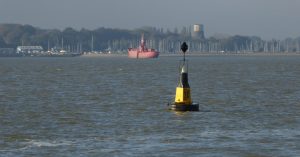
Bloody Point at Shotley Spit
There is a 'Bloody Point' on the Orwell at Shotley. The Stour runs due west here and the Orwell northwest, ...
Books Kayaking
(Barrister-at-Law.), John MACGREGOR (M A. A Thousand Miles in the Rob Roy Canoe ... Fifth Edition. Sampson Low, Son, and ...
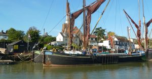
Books Sailing Barges
Here are some good poetic extracts: The Singing Swan by Sir A.P. Herbert extracts APCM Handbook for Bargemen and Lightermen ...

Books Sailing General
Kemp, Dixon. A Manual of Yacht and Boat Sailing. H. Cox, 1884. Biddle, Tyrrel E. The Corinthian Yachtsman, or Hints ...

Books Sailing Local
In 1851 A Season at Harwich by W H Lindsey there is a good section on rowing out to Gunfleet ...
Cartography Unchained
An interesting website with various research papers relevant to some topics on this site ...
Deben Soundings
Deben Soundings FB Suffolk Inlets HB - good images from Sentinel data on the bar. Bawdsey tide gauge ...
Elevation and Depth data & Sea Level
Also see Walton on the Naze tides - variation LIDAR is a Laser-based surveying technique that provides elevation data across ...

Extract from Dicken’s Dictionary – Barges
In the 1885 Dickens Thames Dictionary 'Barges' entry, he covers both dumb and sailing barges, his assessment of dumb barges ...
Extracts From the Diary of Sir James Thornhill, May 16th, 1711.
Some good eighteenth century detail on the area ...
Geology Notes
BGS Geology viewer. BGS GeoIndex Onshore GeoIndex Offshore | BGS seabed geology Useful background for Cement Stone and coastal change ...
Hugh Alker Tripp
Two excellent books for the East Coast are Suffolk Sea Borders and Shoalwater and Fairway by H. Alker Trip who ...

Memoirs and Anecdotes of Philip Thicknesse: Late Lieutenant Governor of Land Guard Fort…
Thicknesse was quite a character, he was Governor of Landguard Fort and built a cottage at Cobbold's Point. There are ...

More Thames Estuary Charts and Pilots
See also Thames River Charts, Deben Entrance Charts and Pilots and Harwich Haven Charts and Pilots 1688/9 Halley's Survey presented ...

River Deben Association Archive
This archive of earlier copies of the ‘Deben’ magazine is a trove of hidden treasures and readers will find their ...
Sea Words And Phrases Along The Suffolk Coast- Edward Fitzgerald
Fitzgerald collected words and phrases from local sailors and fishermen which were published in the East Anglian. The full text ...
Sheerness Minesweepers – HMS Wildfire
This site has a wealth of information about the HMS Wildfire shore base at Sheerness in World War Two. There ...
Shoal Waters: Sailing Just for Fun by A.C.Stock
A delightful book about sailing Shoal Waters, a 16' boat, around the Thames Estuary and covering 70,000 miles or so ...
Southwold and Its Vicinity- R.Wake
Southwold and Its Vicinity, Ancient and Modern By Robert Wake · 1839 The last part covers Dunwich ...
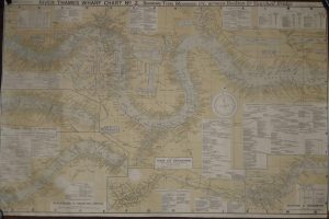
Thames River
These items are for the London River rather than the Estuary. 1790 Bowles's new map of the River Thames, from ...
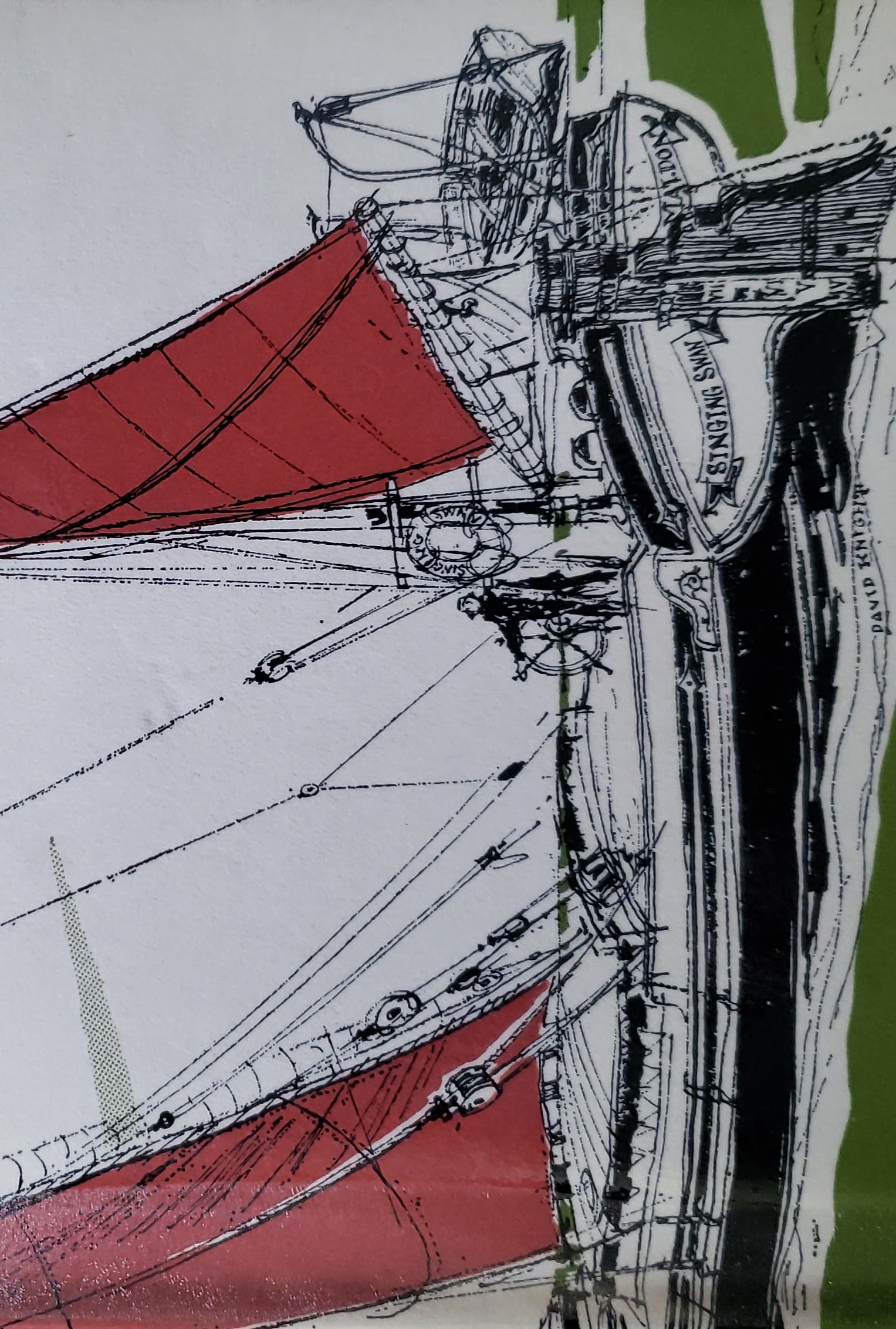
The Singing Swan by Sir A.P. Herbert
Published in 1968 this is a fictional story contrived to tell of life on a sailing barge. Set in the ...
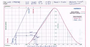
Tide and Wave predictions and data
Tide Predictions Harwich Haven Authority/Leisure produces annual tide tables as well as a tidal atlas. The tide does not turn ...
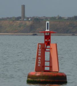
Walton on the Naze tides – variation
Also see Elevation and Depth data. Walton on the Naze is the standard port for our part of the East ...
Where Thames Smooth Waters Glide
This website is packed with information on the River Thames from source to sea. This section relates to the Estuary ...
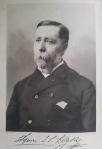
Wrinkles in practical navigation by Captain S.T.S.Lecky
Squire Thornton Stratford Lecky had an interesting career Lecky, Squire Thornton Stratford | Dictionary of Irish Biography (dib.ie) and, among ...
Yachting Monthly & Hunt’s Yachting
An incomplete selection of issues from 1933 to 1953 is available here. Lovely to read. 1852 Hunt's Yachting Magazine - ...
Image Credits and Sources
- STS-Lecky: Wrinkles in Practical Navigation by Lecky
