There are references in early pilots and charts to Sobiri, Shoe Beacon, Shoe Hole and Shoe Horse. These can cause confusion but are further north. See Essex Beacons. Could there have been another fort where the Shoe Beacon was?
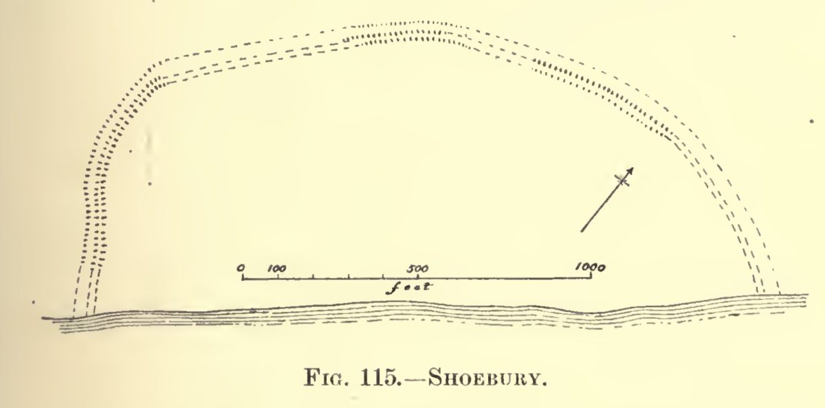
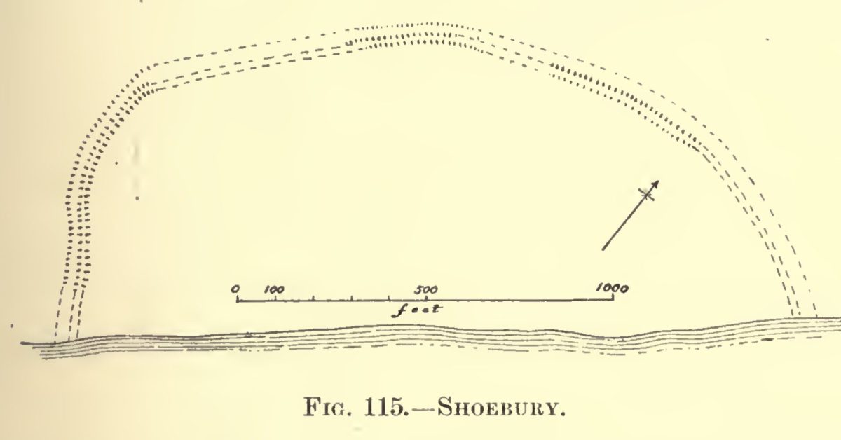
One explanation of the name is that the name Shoebury comes from ‘sceo’ meaning shoe and ‘burh'(OE) meaning fort1Danish Fort see Astbury, A. K. Estuary: Land and Water in the Lower Thames Basin. 1st edition. London: Carnforth Press, 1981. . Another is:
Shoebury -ness Ess. First el. identical with SHEEN. The meaning seems to be ‘sheltering, protecting BURG’.
Eilert Ekwall. The Concise Oxford Dictionary of English Place-Names, by Eilert Ekwall. 3rd Edition. The Clarendon Press (Printed By C. Batey, 1947.
Danish invaders in the late ninth century built semi-circular (shoe shaped?) earthwork forts open to the seas to protect their ships in this area. The proximity to the Roman Broomway would have been useful for communications.

Daniel Defoe, writing around 1725, mentions the area, although he must have misidentified the beacon which fits the description and location of Blacktail:
On the Shore, beginning a little below Candy Island, or Leigh Road, lies a great Shoal or Sand, called the Black Tayl, which runs out near three Leagues into the Sea due East;2Three leagues could men nine land miles, which varied, or sea miles. This must refer to sand from Chapman Sands to Blacktail Spit.. at the End of it stands a Pole or Mast, set up by the Trinity house of London, as a Sea-mark: this is called Shoe-beacon from the Point of Land, where this Sand begins, which is called Shoberry-ness, from a Town of that name, which stands by it. From this Sand, and on the Edge of Shoeberry, before it, or South-weft of it, all along, to the Mouth of Colchester-water, the Shore of Shoals and Sands, with some deep Channels between; all which are so full of Fish…
Vision of Britain | The Travels of Daniel Defoe | Full Text plus Mapping..
There is another, later fort.
Notes
Also see H.Muir Evans and chart p26. – Muir Evans, Harold. A Short History of the Thames Estuary. Imray, Laurie, Norie, Wilson, which shows the beacon.
Questions
How does Shoebury relate to Blacktail?
Sources
Footnotes
- 1Danish Fort see Astbury, A. K. Estuary: Land and Water in the Lower Thames Basin. 1st edition. London: Carnforth Press, 1981.
- 2Three leagues could men nine land miles, which varied, or sea miles. This must refer to sand from Chapman Sands to Blacktail Spit..
Image Sources and Credits
- 1Danish Fort see Astbury, A. K. Estuary: Land and Water in the Lower Thames Basin. 1st edition. London: Carnforth Press, 1981.
- 2Three leagues could men nine land miles, which varied, or sea miles. This must refer to sand from Chapman Sands to Blacktail Spit..
