HMS Kingfisher
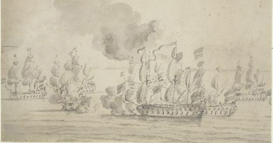
The 46 gun fourth rate H.M.S. Kingfisher was built by Phineas Pett III at Woodbridge in 1675. The Petts were rival shipbuilders to Anthony Deane, who had built ships at Harwich in the 1660s, but was by then at Portsmouth. The history …
Lady Alice Kenlis
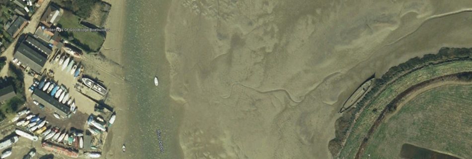
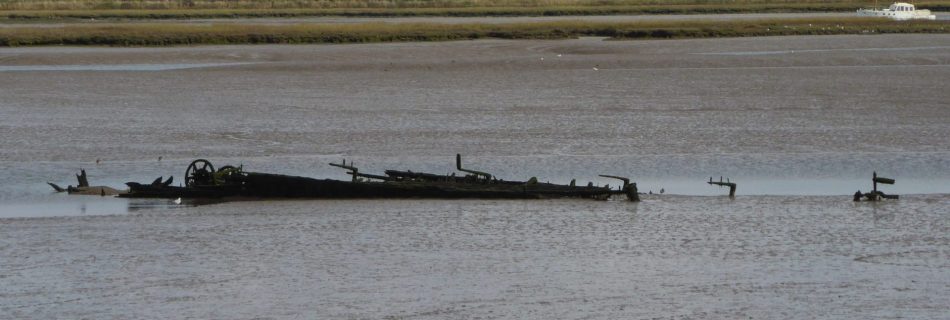
The iron hulk on the left bank of the Deben opposite Lime Kiln Quay has an interesting story. It was thought that she was a dredger but recent research shows that she was originally ‘Lady Alice Kenlis’ a three-masted screw steamer, built in 1867 on the Clyde. The story is told here see page 10.
D-Day Deception Fleet – Deben
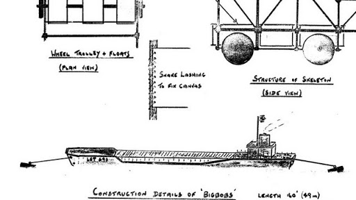
Dummy Landing Craft were built at Waldringfield and moored on the Deben before D-Day to deceive the Nazis. These were probably the largest craft ever to be in the river.
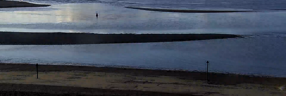
Deben Bar 2022APR02 0700
Woodbridge Haven
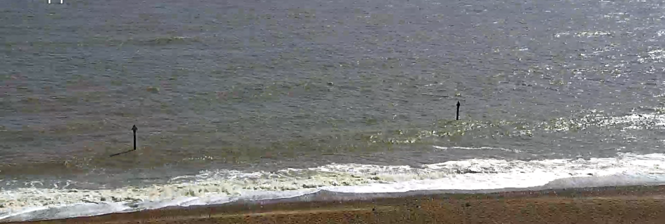
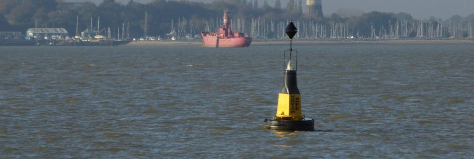
The Deben or Woodbridge River was once guarded by a Roman Fort. The channel changes as do the methods of marking it…
SB Three Sisters at Kirton Creek
There is little activity at Kirton Creek nowadays. However, it was once the mouth of the Mill River and, after enclosure, boasted a Brick Works. This was dependent upon barge transport which seemed quite challenging given the nature of the channel. A relic of that era is the hulk of a Thames Sailing Barge which is slowly being claimed by the mud.
Bloody Point at Shotley Spit
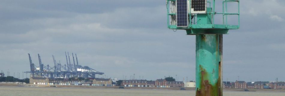
Deben and Orwell have Bloody Pint – King Alfred vs the Danes – Martellos – Stone Heaps
1935 Extract Admiralty Sailing directions for the east coast of England
1892 Extract from Cowper on Deben
1892 – The Coasts of Essex and Suffolk by Frank Cowper – Extract Harwich area
Page 96 FROM THE COLNE TO HARWICH. …Trinity House. This serves as a land-mark, but will not be of any use to us, as its only advantage, beyond being a mark to tell ships out at sea what point of land they are off, is to clear the Longsand Head fifteen miles away out at …
Read more “1892 – The Coasts of Essex and Suffolk by Frank Cowper – Extract Harwich area”
Deben map by Simon Read
Deben Swim upriver chart
Sailing data – local
Basic weather and real time data for local sailing.
Tidal level at Woodbridge
Tide gauge (sometimes a bit on the drag) Highest level was 3.35 (2013?) 1953 the flooding reached up Cliff Road to the bend by the entrance to the Maybush car park. This is about 4.0m AOD (hard to be exact without measuring – lost OS BM on wall) which makes a height of tide of …
Edward Killwick Calver R.N.
TBA
Tide and Wave predictions and data
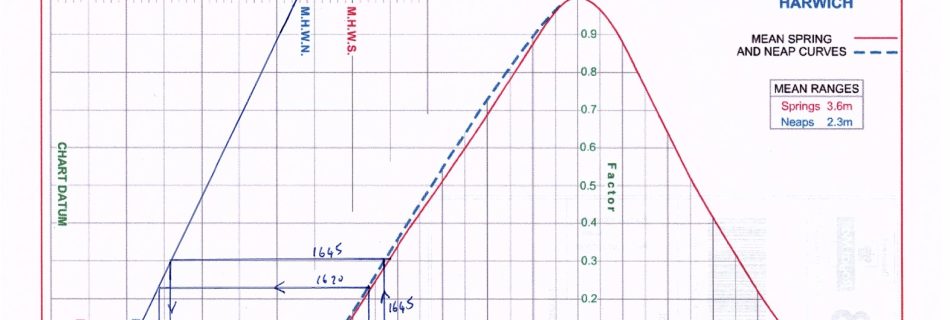
Tide Predictions Harwich Haven Authority/Leisure produces annual tide tables as well as a tidal atlas. The tide does not turn at HW or LW anyway in Swimscapes Bay. The tidal stream turns to flood north about 4-4.5 hrs after HW and to ebb north about 1.5 hrs before the next HW. In time I’ll work …
