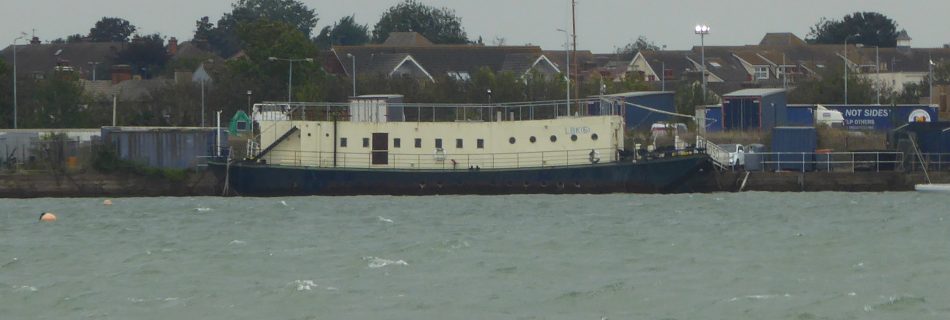
LBK6 – Landing Barge Kitchen at Harwich

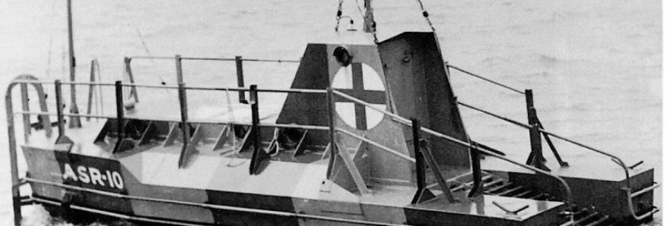
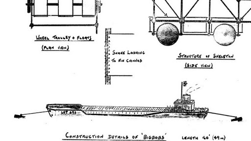
The fighting men who landed on D-Day needed to be fed so ten Landing Barge Kitchen (LBK) were built for the task. These were adapted from steel Thames Lighters by fitting two petrol engines and building the kitchen on the lighter. Crossing from Langstone Harbour to Sword Beach on D-Day, with the 35th LB Flotilla, …
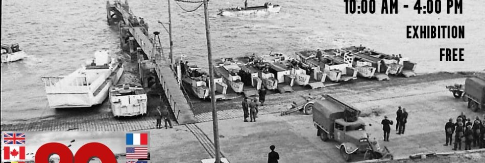
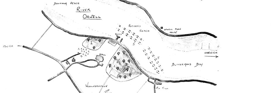
Woolverstone, D-Day at 80 Exhibition

On 6 June 1944, Allied troops landed on the Normandy beaches and the battle to liberate Europe began. 80 years on since D-Day, the largest amphibious invasion in the history of warfare, we remember those who made the ultimate sacrifice in defence of our freedom. The small village of Woolverstone had a vital part to play in these tumultuous times.

World War Two Air Sea Rescue Buoys or Floats

Both Britain and Germany deployed Refuge Floats for airmen in the North Sea and Channel. How many lives were saved is unclear. Examples still exist – see the notes. RAF Rescue Float More information: RAF Boats 1918 – 1986 and a 3D view at Scottish Maritime Museum German Air Sea Rescue Buoy – Lobster Pot …

Richard Montgomery FI

SS Richard Montgomery

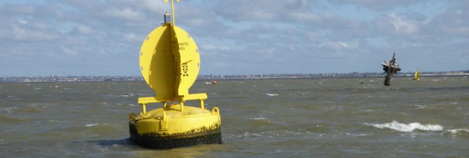
SS Richard Montgomery on youtube. Beware the shallow water to the east at LW. There is a plan to remove the masts. See SS Richard Montgomery – Wikipedia – a United States ship named after an Irish soldier in the Revolutionary War and sunk whilst departing for the Normandy invasion beaches with ammuntion.

Maplin Sand

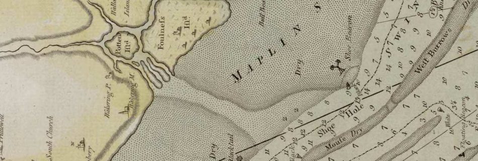
Maplin Sands stretch from Shoebury to Foulness on modern charts. The late eighteenth-century John Chandler Chart, refers to the large flat north of Havengore Creek, including the Whittaker Sands. The lower part, of what is now the Maplin Sands, was called Shoebury and Blacktail. Note ‘Shoe Hole’ in the West Swin. The simplification on modern …

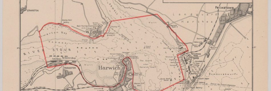
FRG242_122211647_Harwich_GB45138_0004 from U.S. Archives

1939 – 1945 World War Two Maps and Charts

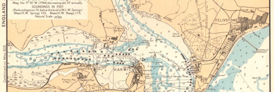
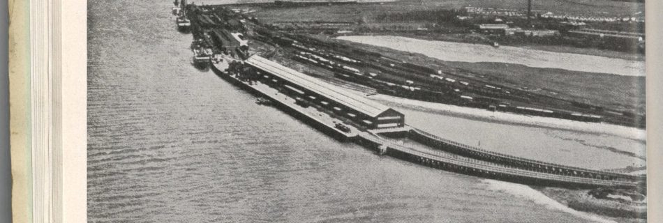
From US National Archives: Target Dossiers Pertaining to the British Isles, 1938–1945 Suffolk set, Felixstowe more, Harwich also with Felixstowe, Ipswich, Orfordness. Essex set. Harwich. See also Kreigsmarine Chart and 1944 WD charts. Soviet Charts – seem to have disappeared.

WWII Defensive Barrier Shoeburyness to Sheerness

This was not the first defensive structure hereabouts. See Shoeburyness. For a fuller account of the barrier see this site. The defensive boom required many resources for its operation including fourteen tugs, five launches and team of four hundred people. In the early part of the war enemy aircraft managed to lay mines inside the …