These items are for the London River rather than the Estuary.
1790 Bowles’s new map of the River Thames, from it’s spring in Gloucester-shire, to it’s influx into the sea : with a table of all the locks, wears, and bridges thereupon ; shewing the tolls payable at each and their distance by water from one another.
1903 The Thames by Besant, Walter
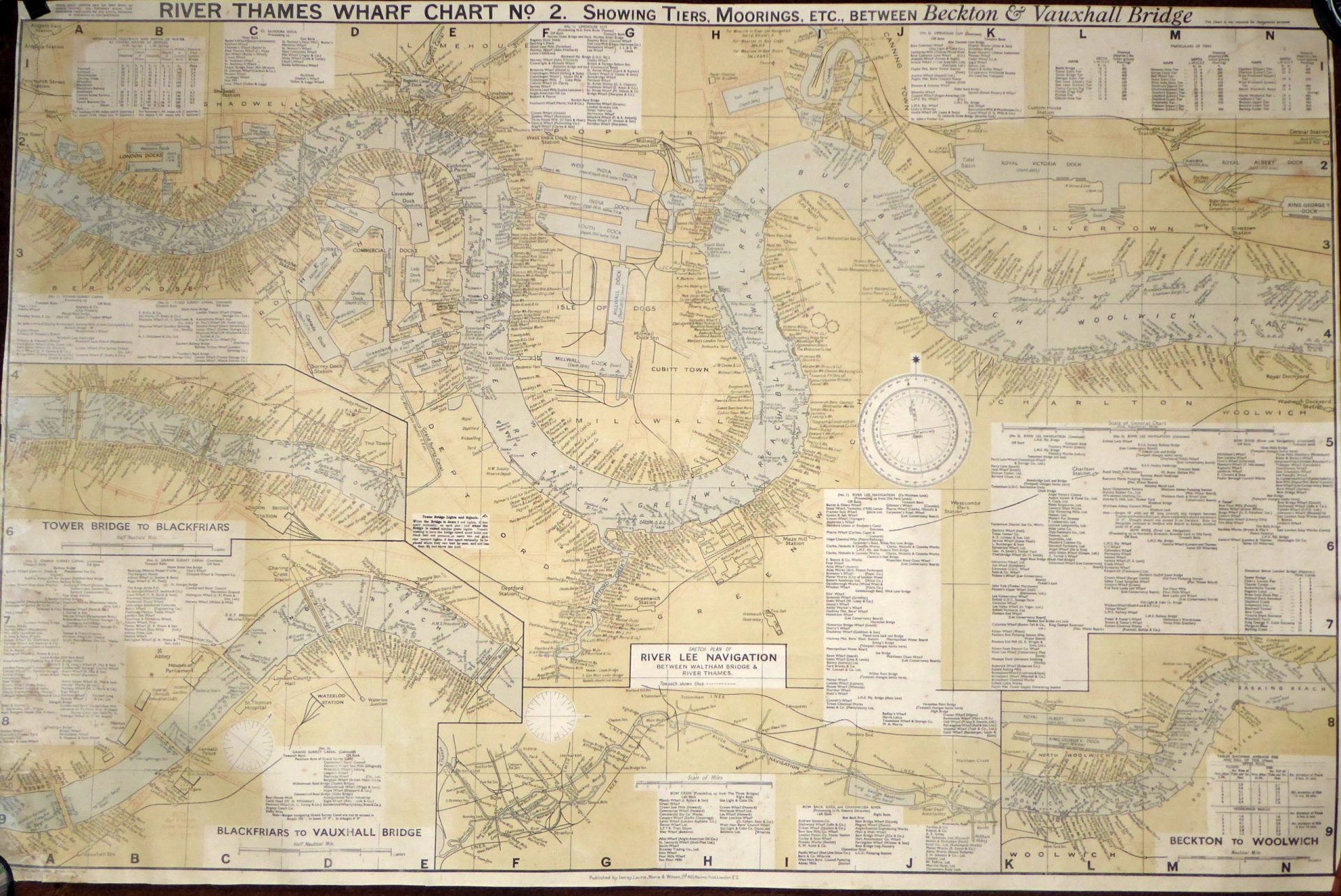
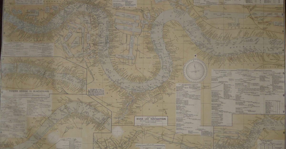
1948 Wharfage Chart No.2 (Personal collection) – Note Deviation in 1948

Image Credits and Sources
- 1948-Thames-Wharfage-Chart: 1948 Thames Wharf Chart - Personal Collection
