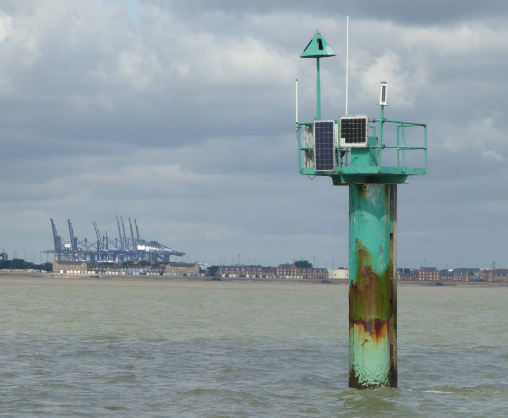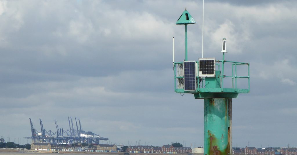
Wadgate Ledge is a Pillar Starboard Hand Mark Just outside the Harwich Deep Water Channel. It replaced a green conical buoy from around 2004, and serves as a tide gauge1The data, real-time and historical, from the tide gauge, are available here.. It is about 1.3 nM offshore and 5.7m above sea level2By comparing three photographs taken at different states of the tide, the height of the tip of the cone above Chart Datum is about 7.9m. As the charted depth here is about 7.9m (from depth sounder and HHA gauge) then the height of the tip above the seabed should be about 15.8m. Tip of the cone to MSL(CD+2.2m) 5.7m. All within about 0.5m.
On the 1804 Graeme Spence Harwich Chart, Wadgate is shown as a settlement and “Wadgate Ledge” is shown, as a raised area of seabed, but not buoyed. The 1845 chart also has no buoy, the area is marked as “Ledge”. There is mention of a Wadgate Ledge buoy in 1892 by Cowper31892 Extract from Cowper on Deben There was a buoy in 1917 4‘The History of Harwich Harbour, Particularly the Work of the Harwich H C Hughes’ . The first buoy found on a chart is a green conical buoy in 19785Stanfords East Coast charts 6There was a black conical just to the northeast on the 1948 Royal Cruising Club Chart . The pillar appears to have been installed around 20047See NTSLF website .

Wadgate refers to the settlement (in the Domesday Book) in Felixstowe. The name consists of “waed”, referring to a ford, and “geat”, or “gate”, meaning a hard or landing place. Wadgate lay near the head of the creek into the Haven where the old road (now lower Garrison Lane) crossed it by a ford, below which would have been the landing-place for ships. This used to be the site of the Ordnance hotel (now replaced).
Wadgate creek in the early 19C was known as “Wadgate Harbour” and in medieval days it was called “le Hope”, which is a Norse word for a landlocked harbour. The Hope at Wadgate was near the Ordnance Hotel (demolished 2010s)8W.G.Arnott, W. G. (1950). Suffolk estuary : the story of the river Deben. N. Adlard, , 2D Impression. W.G.Arnott. (1946). The place-names of the Deben valley parishes. Norman Adlard. . Walton Creek flowed to near where the Docks are now, the growth of Landguard spit over the centuries encroached on it from seawards and the land has been reclaimed.
The Ledge element refers to the fairly steep shelving of the seabed in that area from around 3m to around 8m. Felixstowe Ledge is the area just to the North. Some centuries ago, this area was land of some form – see Naze to Ness Coastline changes.
Footnotes
- 1The data, real-time and historical, from the tide gauge, are available here.
- 2By comparing three photographs taken at different states of the tide, the height of the tip of the cone above Chart Datum is about 7.9m. As the charted depth here is about 7.9m (from depth sounder and HHA gauge) then the height of the tip above the seabed should be about 15.8m. Tip of the cone to MSL(CD+2.2m) 5.7m. All within about 0.5m
- 31892 Extract from Cowper on Deben
- 4‘The History of Harwich Harbour, Particularly the Work of the Harwich H C Hughes’
- 5Stanfords East Coast charts
- 6There was a black conical just to the northeast on the 1948 Royal Cruising Club Chart
- 7See NTSLF website
- 8W.G.Arnott, W. G. (1950). Suffolk estuary : the story of the river Deben. N. Adlard, , 2D Impression. W.G.Arnott. (1946). The place-names of the Deben valley parishes. Norman Adlard.
Image Sources and Credits
- 1The data, real-time and historical, from the tide gauge, are available here.
- 2By comparing three photographs taken at different states of the tide, the height of the tip of the cone above Chart Datum is about 7.9m. As the charted depth here is about 7.9m (from depth sounder and HHA gauge) then the height of the tip above the seabed should be about 15.8m. Tip of the cone to MSL(CD+2.2m) 5.7m. All within about 0.5m
- 31892 Extract from Cowper on Deben
- 4‘The History of Harwich Harbour, Particularly the Work of the Harwich H C Hughes’
- 5Stanfords East Coast charts
- 6There was a black conical just to the northeast on the 1948 Royal Cruising Club Chart
- 7See NTSLF website
- 8W.G.Arnott, W. G. (1950). Suffolk estuary : the story of the river Deben. N. Adlard, , 2D Impression. W.G.Arnott. (1946). The place-names of the Deben valley parishes. Norman Adlard.
