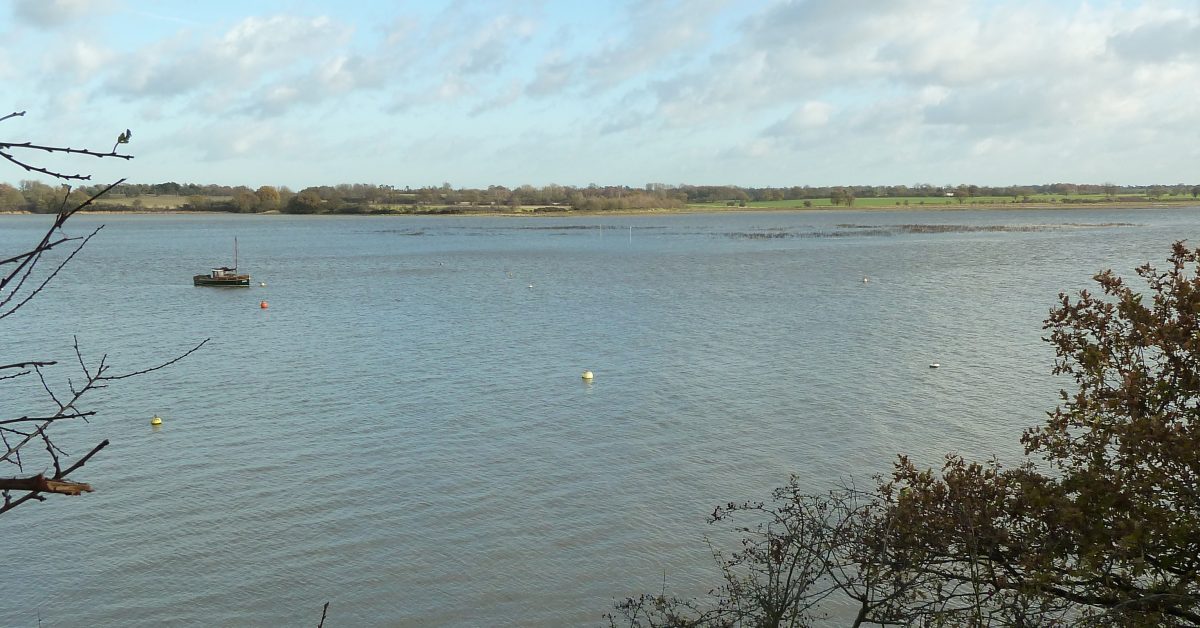
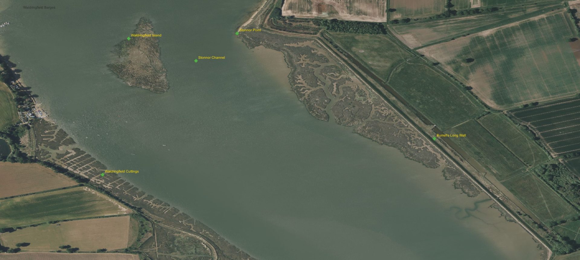
The Island: which some refer to as Waldringfield Island and others as Stonnor Island is a detached area of saltmarsh, separated from the eastern left bank by Stonnor Channel. It is barely an island since it disappears at High Water Springs also, it is in the parish of Sutton.
Fish Traps
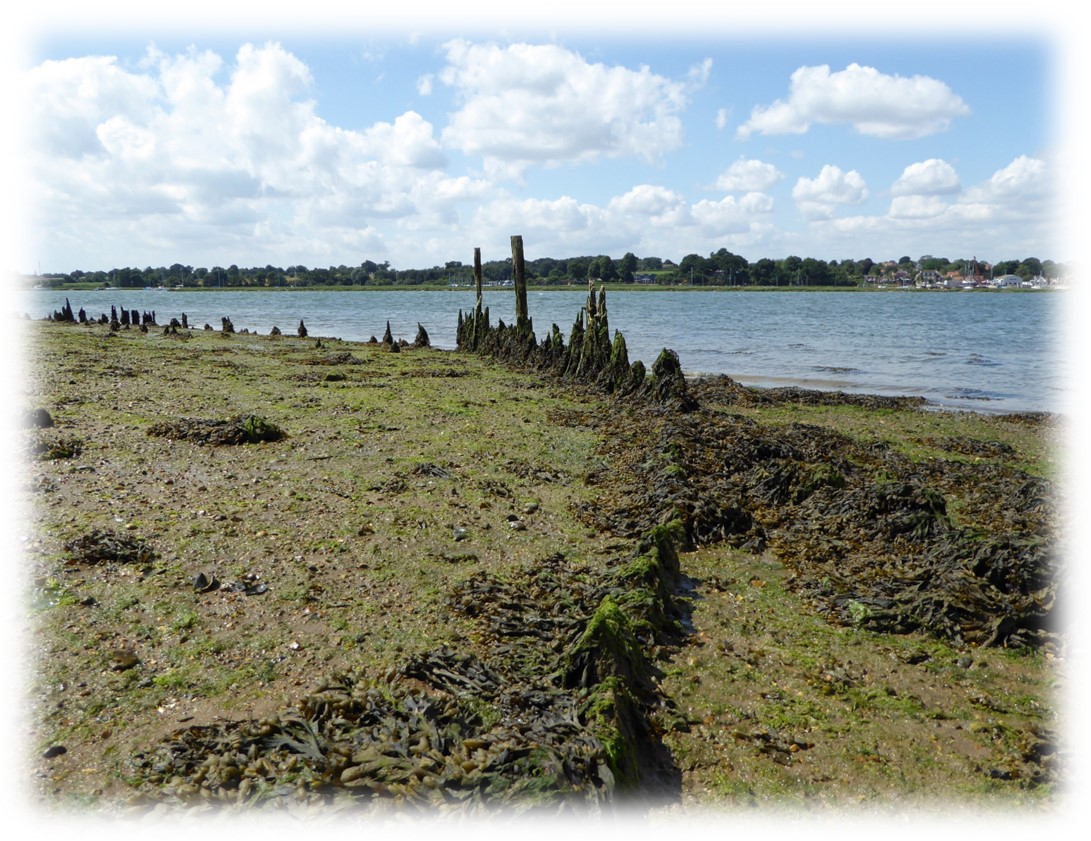
A 1945 aerial reconnaissance photograph1From the Suffolk County Council NMP Project 2Note that the fish traps are not visible on 1945 aerial photograph of the area, showed fish traps, of a type known as ‘kiddles’, off Stonnor Point, although they appear to have been abandoned by this date. The kiddles were groups of posts arranged in lines to create v-shaped structures3 A large Anglo-Saxon or medieval v-shaped fish trap has also been identified at Holbrook Bay. These kiddles would have worked on a similar tidal basis, but using nets strung between the posts, and operated on a seasonal basis..
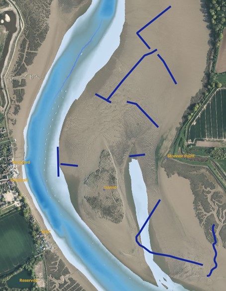
If all kiddles were in use simultaneously, they would have covered 1.5km of the estuary. Such kiddles are known to have operated in Essex from the medieval period to the twentieth century. The development of a large mud bank in the centre of the channel may have impeded their operation, and consequent changes in tidal patterns could have obscured them under an accumulation of silt, or have caused their destruction by erosion. At least one of the kiddles, to the South, would have been destroyed by barge traffic so was presumably erected after the activity at Stonnor Quay ceased in the late nineteenth, or early twentieth, century4Kiddles – English Heritage-Suffolk Coastal NMP Project Suffolk County Council.
Stonnor Point
Stonner Point, opposite the Waldringfield Quay area, was known as Stonhore in 1327, Stonards in 1625 and at another time as Woodhall Stonnor. It was Stoney Point on the 1845 Deben Survey.
Stonnor Channel or Gutter
The 1845 survey shows Stoney Creek, which was dug out to form the channel by the Wallers in the 1880s so that barges could load coprolite. One wonders whether the mud was used at the cement works. Presumably, the landowners, the Wallers, were only concerned with navigability from downriver to the Quay and out again with the ebb. In the early 1930s, there was more depth in the river51996 recollections in The Deben Magazine , Jim Turner on Stonnor Point, he also refers to the erosion of the timber structure of the Stonnor Point quay, which has occurred over many decades..
Robert Simper talks of the erosion of the saltings making the channel navigable around 19406Erosion of the saltings – Simper, R. (n.d.) Recent history of the changes to the Saltmarshes of the River Deben – 2014.. The middle of the channel dries at the north end, charts give 2m drying but it is deeper than this at around 1.6m drying7The channel dries at 1.6m on a falling Harwich tide gauge. Deepest to the Island side. which is similar to the Waldringfield Scrubbing post base.
Burrell’s Long Wall
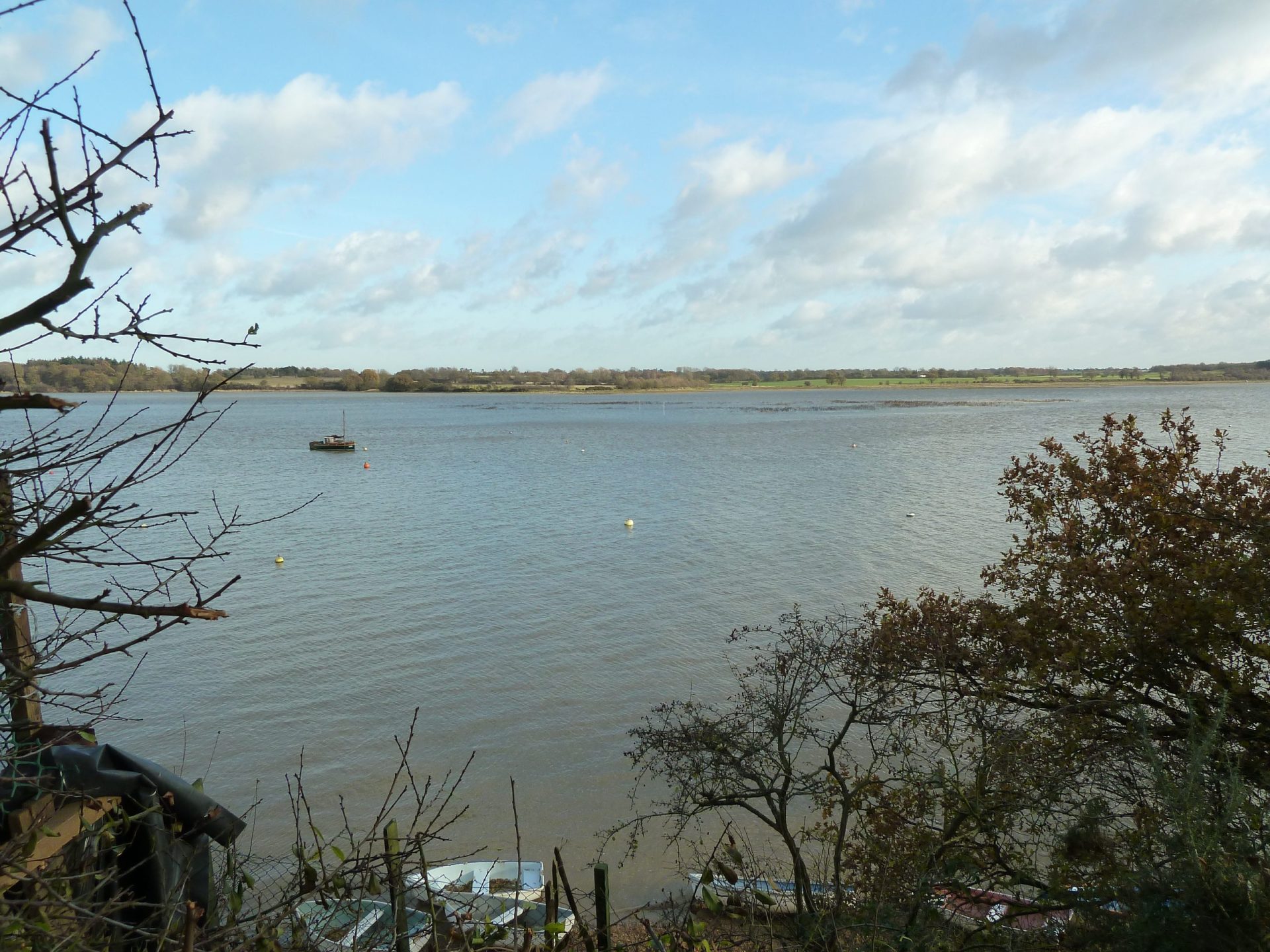
The construction of the long straight seawall to the south-east, shown as ‘Burrell’s Long Wall’ in 1845, taken together with the closure of Shottisham Creek, must have contributed significantly to the changes in the channel and island. The wall appears on the 1837 Colby map. Were it not for this wall, there would be an extensive stretch of navigable water to the east of it, Girling’s Hard is at the southern end. Arnott suggests that this wall was built by the Burrell family in the sixteenth century8W.G.Arnott, W G. Suffolk Estuary : The Story of the River Deben, 1950.
- 1From the Suffolk County Council NMP Project
- 2
- 3A large Anglo-Saxon or medieval v-shaped fish trap has also been identified at Holbrook Bay. These kiddles would have worked on a similar tidal basis, but using nets strung between the posts, and operated on a seasonal basis.
- 4Kiddles – English Heritage-Suffolk Coastal NMP Project Suffolk County Council
- 51996 recollections in The Deben Magazine , Jim Turner on Stonnor Point, he also refers to the erosion of the timber structure of the Stonnor Point quay, which has occurred over many decades.
- 6Erosion of the saltings – Simper, R. (n.d.) Recent history of the changes to the Saltmarshes of the River Deben – 2014.
- 7The channel dries at 1.6m on a falling Harwich tide gauge. Deepest to the Island side.
- 8W.G.Arnott, W G. Suffolk Estuary : The Story of the River Deben, 1950
