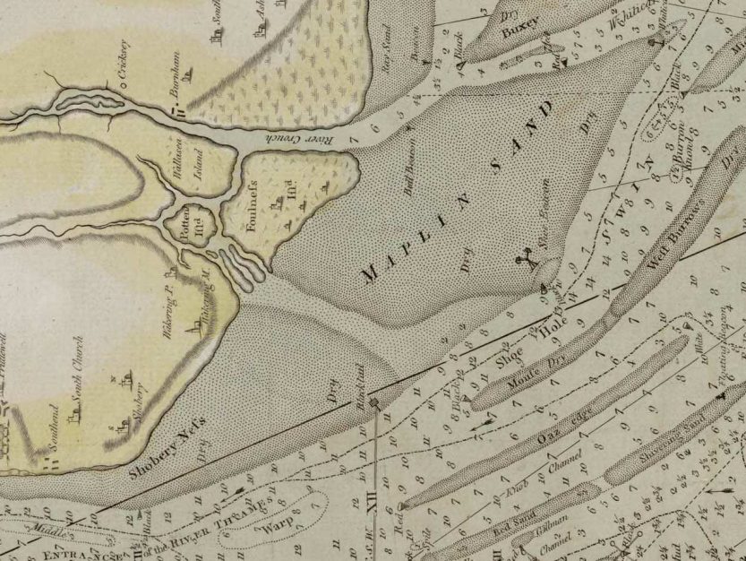
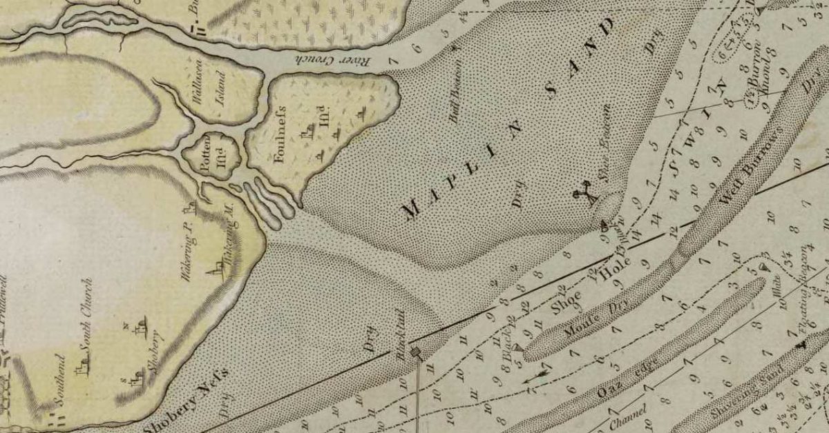
Maplin Sands stretch from Shoebury to Foulness on modern charts. The late eighteenth-century John Chandler Chart, refers to the large flat north of Havengore Creek, including the Whittaker Sands. The lower part, of what is now the Maplin Sands, was called Shoebury and Blacktail. Note ‘Shoe Hole’ in the West Swin. The simplification on modern charts is, perhaps, due to the silting up of the Havengore channel which once divided the sands. There was once an Orwell Beacon near the Havengore.

The name Maplin has been explained by H.Muir Evans. There is a track called the ‘Broomway’ across the sands which takes its name from the marking of the path by the road being “broomed out” with “a row of besom-heads standing twenty to thirty yards apart”. He then explains that the word ‘Map’ is dialect English for a mop, mapple or broom of twigs1Muir Evans, Harold. ‘SANDS, GATS and SWATCHWAYS between HARWICH and the NORE’. Mariners Mirror, 1930..
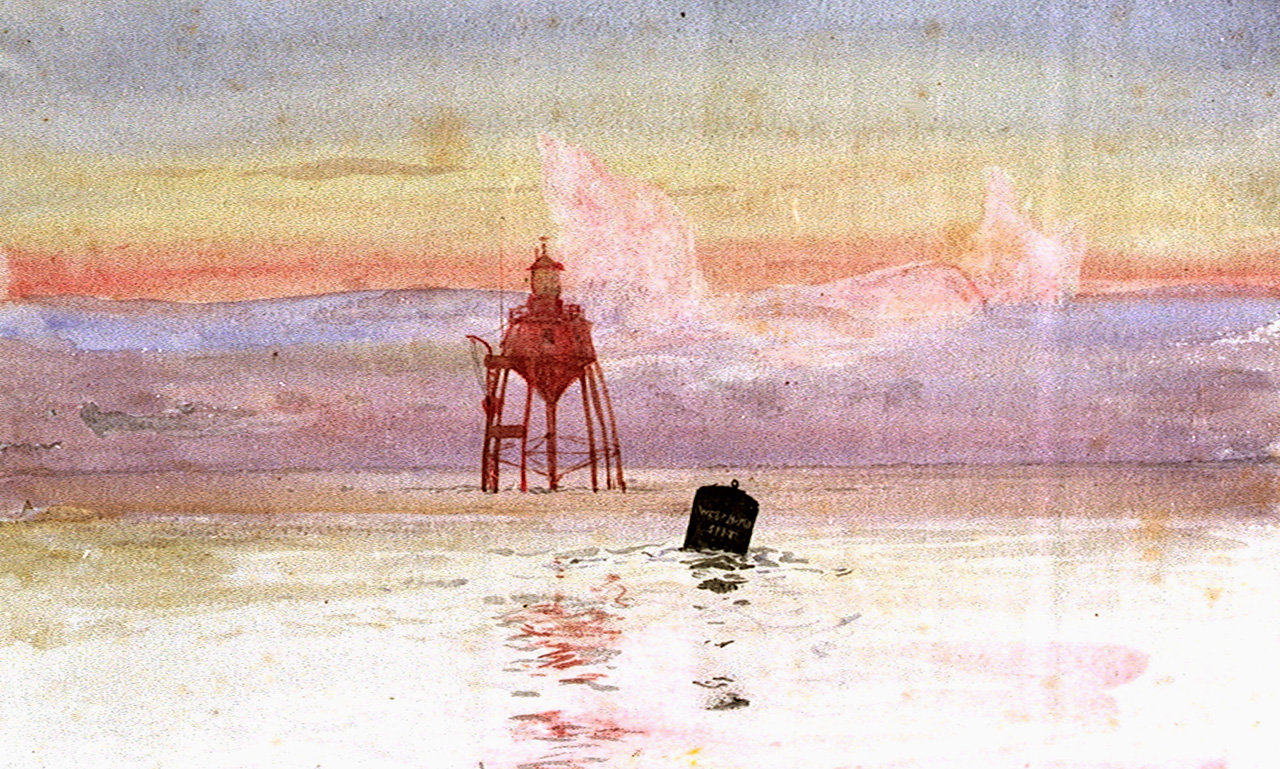
Before the sixteenth century, the coastline may well have been different, this is covered in The Essex Coastline in the Middle Ages. In 1838 the first screw-pile lighthouse was built on the sands, where it remained until the movement of the sands caused it to be decommissioned in 19312Barling & Wakering Heritage – Maplin Sands Lighthouse (barlingwakeringvillages.co.uk). Gunfleet Old Lighthouse was built to the same pattern and still stands in 2024.

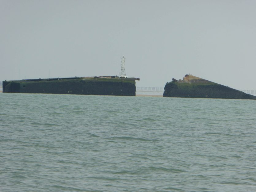
Other features to note are the Artificial Island (built as a trial for Maplin Airport), the Pheonix Unit and the WW2 Defensive Barrier. The concrete Pheonix3Phoenix breakwaters – Wikipedia unit was part of the D-Day preparations but came to grief whilst under tow. There are other WW2 concrete vessels in the Estuary.

Notes
Questions
Sources
Also see H.Muir Evans and chart p26. – Muir Evans, Harold. A Short History of the Thames Estuary. Imray, Laurie, Norie, Wilson, which shows the beacon.
Footnotes
- 1Muir Evans, Harold. ‘SANDS, GATS and SWATCHWAYS between HARWICH and the NORE’. Mariners Mirror, 1930.
- 2Barling & Wakering Heritage – Maplin Sands Lighthouse (barlingwakeringvillages.co.uk)
- 3
Image Sources and Credits
Image Credits and Sources
- Maplin_lighthouse_RMG_PW1548: William Lionel Wyllie, Public domain, via Wikimedia Commons | Public Domain Mark 1.0
- Pheonix Unit: Bob C
- 1Muir Evans, Harold. ‘SANDS, GATS and SWATCHWAYS between HARWICH and the NORE’. Mariners Mirror, 1930.
- 2Barling & Wakering Heritage – Maplin Sands Lighthouse (barlingwakeringvillages.co.uk)
- 3
Image Credits and Sources
- Maplin_lighthouse_RMG_PW1548: William Lionel Wyllie, Public domain, via Wikimedia Commons | Public Domain Mark 1.0
- Pheonix Unit: Bob C
